| |||||||
 |
| Search this Thread |  23,760 views |
| | #1 |
| BHPian Join Date: Sep 2014 Location: Kolkata, Tezpur
Posts: 583
Thanked: 2,681 Times
| Father-daughter duo's motorcycle trip to Ladakh | Royal Enfield Himalayan Ladakh Bike Trip : September 2023Part 1 Introduction This bike trip with my daughter was long pending, in fact since 2017. Because of various professional commitments, it somehow could not materialize until this September. Planning and preparation for the trip started almost two months back. We did not want to go to Ladakh in the proper tourist season and hence chose mid to end September when the weather starts becoming chilly to cold and so-called tourist rush reduces considerably. Leave from work was planned, flight tickets booked and accomodations booked as early as mid July. I knew one thing from my past visits to this area : September has its own pros and cons. The weather starts becoming unpredictable especially at the higher reaches, but traffic and tourist both are equally less. The Itinerary 15 Sep : Arrival Leh and rest 16 Sep: Rent the bike, visit to local market and rest 17 Sep : Local sightseeing : Patthar Sahib, Magnetic Hill, Sangam, Leh Palace, Shanti Stupa, Thiksey Monastery, Shey Palace. 18 Sep : Leh - Hemis Monastery & back. 19 Sep : Leh - Khardungla - Khalsar - Hunder - Pratappur. 20 Sep : Pratappur - Turtuk & back. 21 Sep : Pratappur - Siachen Base Camp - Khalsar 22 Sep : Khalsar - Agham - Shyok - Tangtse - Pangong Tso - Merak. 23 Sep : Merak - Kaksang La - Mahe - Nyoma - Hanle. 24 Sep : Hanle - Umlingla & back. 25 Sep : Hanle - Mahe - Karzok - Tso Moriri 26 Sep : Tso Moriri - Chumathang - Kiari - Upshi - Karu - Leh 27 Sep : flight to Guwahati The Journey Day (-) 1 14 September : We moved ahead to Guwahati in the evening since we had an early morning flight to catch the next day. Drove from Tezpur to Guwahati in our favourite Brownie. 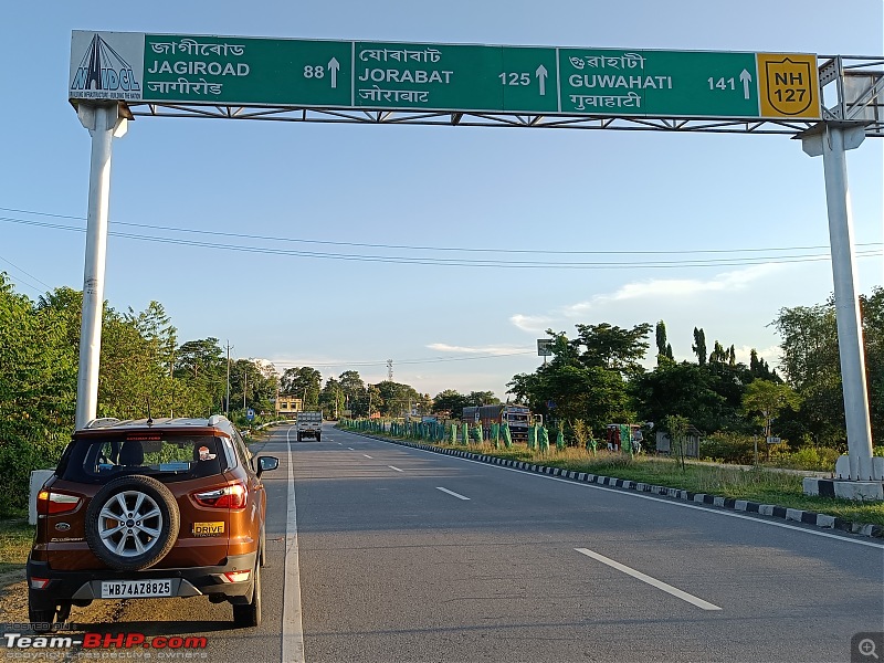 Day 1 15 September : We had a early morning flight from Guwahati to Delhi at 5:30am. The flight departed Guwahati in time and we arrived at Delhi at 8:20 am. The connecting flight to Leh was at 11:10 am from T3 terminal where we checked in early and thereafter had a hearty breakfast at the food court. The flight from Delhi to Leh was delayed by around an hour. It departed at around 12:10 pm and we arrived at Leh at around 1:30 pm. 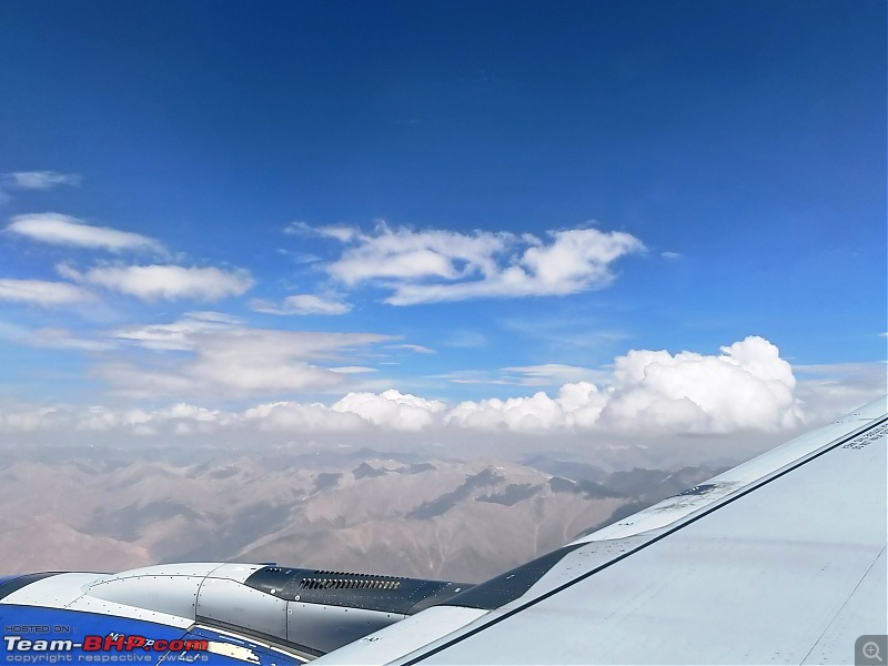 First glimpse of the mountain ranges from the aircraft window. After collecting our luggage, we went straight to our motel which was just around 2 kms from the Market. We chose to stay a little far from the main market. This day was meant specifically for rest and acclimatisation which is very important as we had gained altitude from sea level to 10,300 feet in just a couple of hours. We had planned to carry out proper acclimatisation for 4 days to obviate any altitude related issues cropping up at later stages of the ride. At Leh, we were joined by a colleague Mr Rana who rode with us upto Siachen Base Camp on his Interceptor 650. Day 2 16 September : This being the second day at Leh as well as our second day of acclimatisation, the program was restricted to hiring of the bike for the ride, lunch at Tibetan Kitchen, one of the best places to eat at Leh and rest for the remaining day. 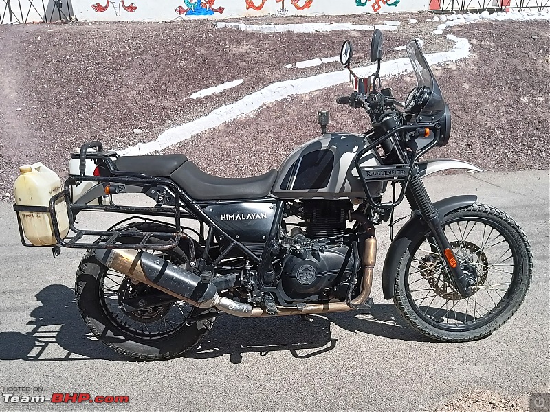 We rented a BS6 RE Himalayan which in my opinion is the best bike for this terrain.  Lunch at The Tibetan Kitchen comprising Thukpa and Momos. Day 3 17 September : We started with local rides ex Leh aiming to cover all the so-called touristy places in and around Leh City including the Monasteries. This was a Sunday and what better way to start the ride than seeking blessings of the Waheguru at the Gurudwara Patthar Sahib. We started early at around 7 am and head straight for Gurudwara Patthar Sahib. 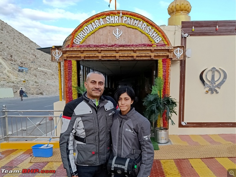 After offering prayers and having the Kada Prasad followed by tea and biscuits at the Gurudwara premises, we set course for the next destination - Magnetic Hill. 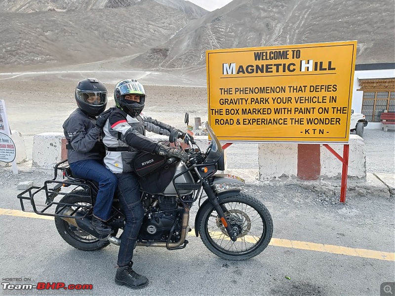 The phenomenon that defies gravity. 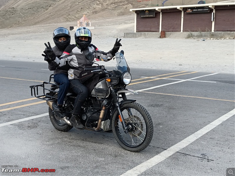 Next stop was Sangam, the confluence of Zanskar and Indus rivers. 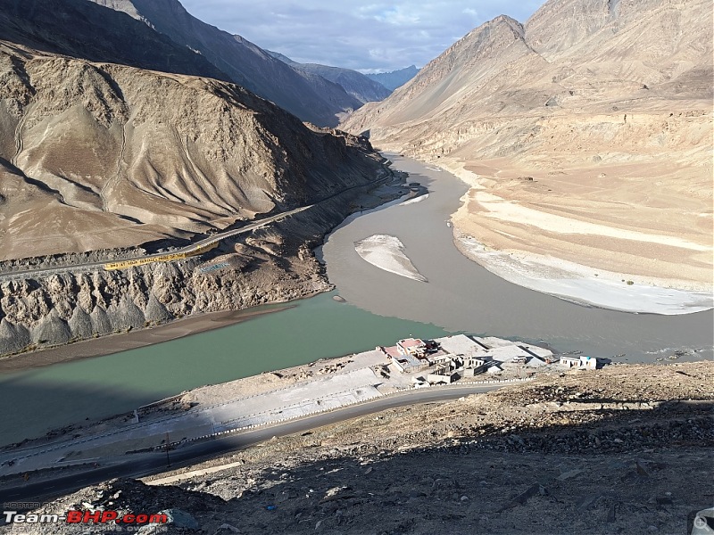 The two rivers can be separately seen meeting at this point. While the Indus River appears as shiny blue, Zanskar River appears muddy green. It is a spectacular site to witness. 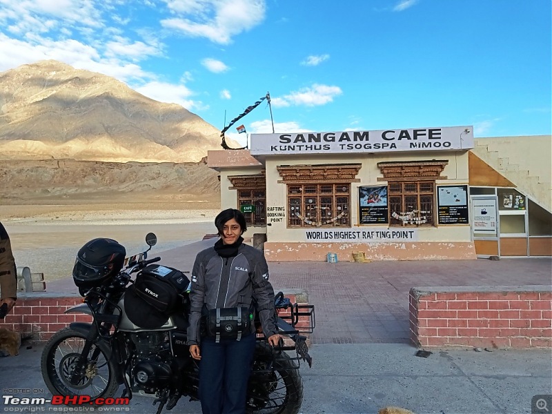 One has to go down the road to the Sangam Cafe and the rafting point, which is claimed to be the world's highest. Unfortunately, that early, not a soul was present either at the cafe or the rafting point. 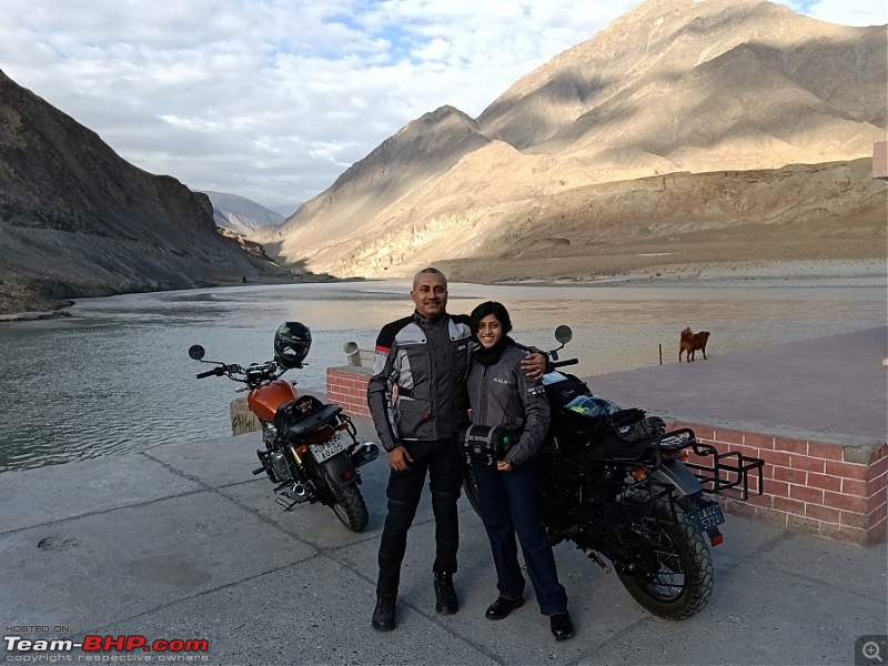 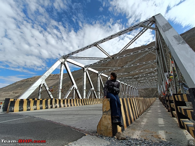 We went further down the road to the Zanskar Valley Bridge which is also called the gateway to Zanskar. 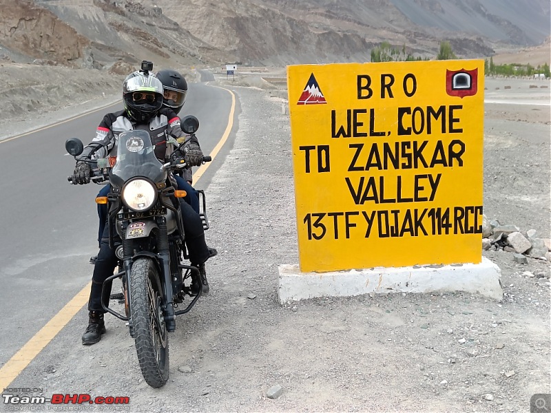 From Sangam, we came back to Leh City for breakfast and thereafter headed for Thiksey Monastery. 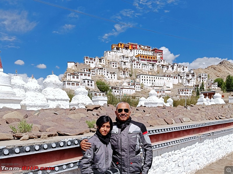 Thiksey Monastery is the largest monastery in Central Ladakh and is noted for its resemblance to the Potala Palace in Lhasa, Tibet. It is a twelve storey complex and houses many items of Buddhist art such as stupas, statues, thangkas etc. 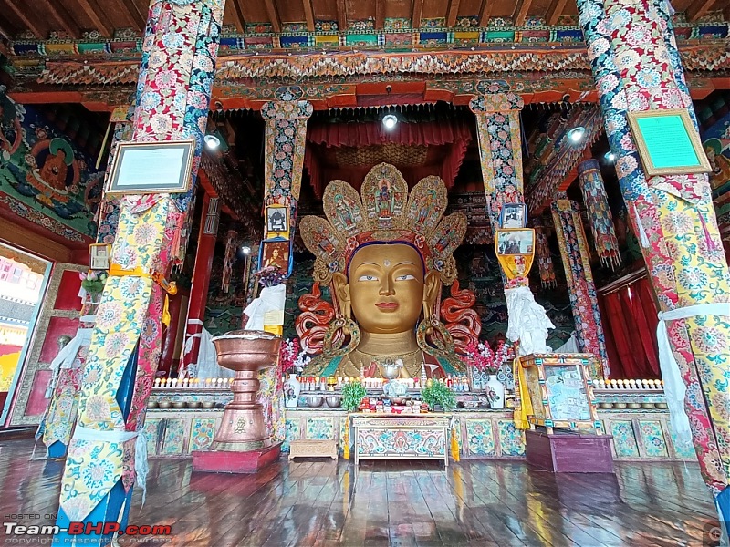 The Maitreya Temple with the 15 metres high statue of Maitreya, the largest such statue in Ladakh, covering two stories of the building is a major attraction of this monastery. 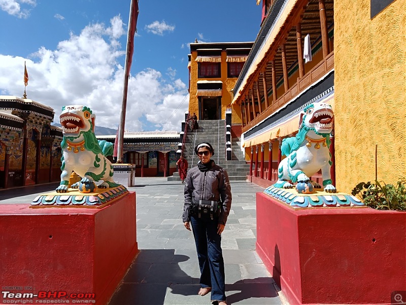 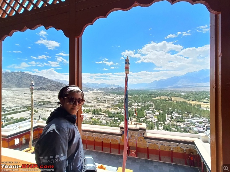 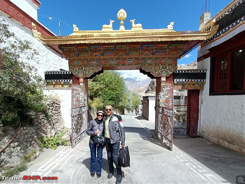 Next we visited the Rancho Cafe and Rancho School. 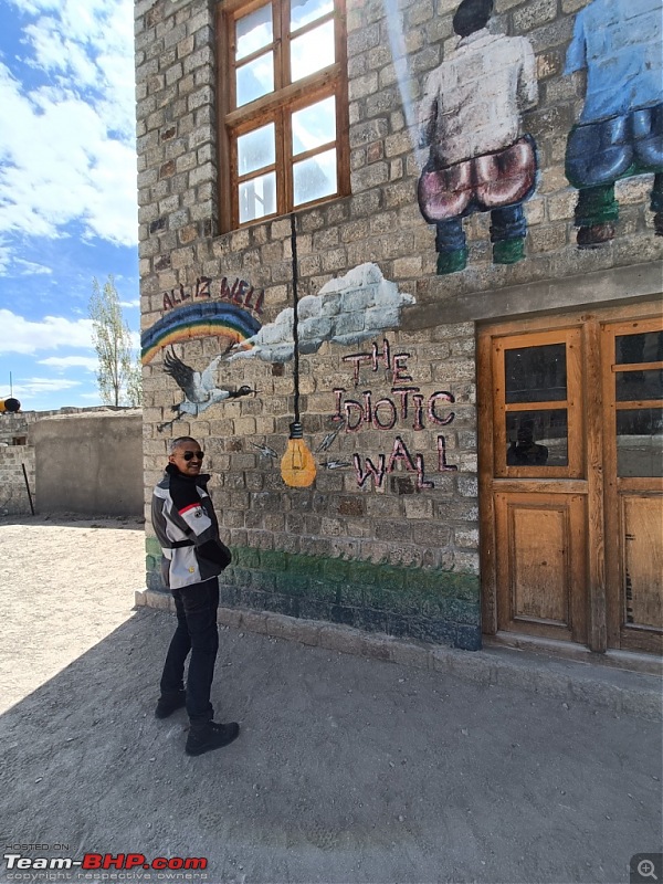 Chatur pose : thankfully there were no kids to throw bulbs and electrify me  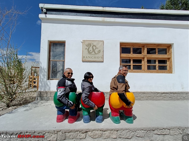 The 3 idiots fame stool. Next stop was the Shey Palace. 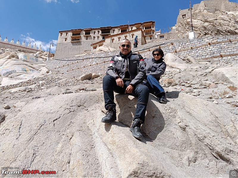 Post lunch we decided to visit the Shanti Stupa. It was built in 1991 by Japanese Buddhist Bhikshu, Gyomyo Nakamura. The Shanti Stupa holds the relics of the Buddha at its base, enshrined by the 14th Dalai Lama. 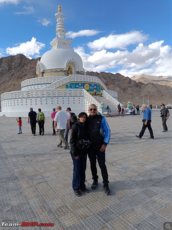 The Stupa provides excellent panoramic views of the surrounding landscape.  Since there was still around 1.5 hours left for sunset, we decided to visit the Leh Palace. This is an actual palatial building with 9 storeys, out of which 8 are open to visitors. 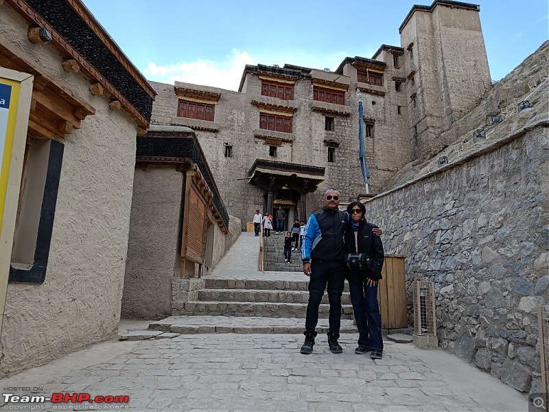 One of the storeys of the palace also houses a mini museum which holds a rich collection of jewellery, ornaments, ceremonial dresses and crowns, Tibetan thangka or paintings, which are more than 450 years old. It was indeed a wonderful experience for us. 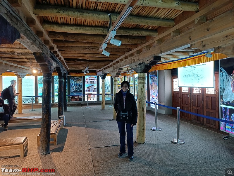 The view from the terrace of the Leh Palace is simply spectacular, especially in the evenings. 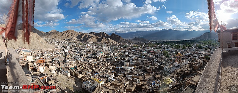 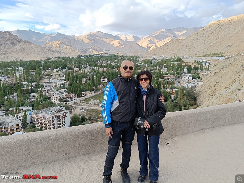 The last stop for the day was the Tsemo Maitreya Temple which is close to the Leh Palace.   View of Leh Palace from Tsemo Maitreya Temple  Leh City in the backdrop of a setting sun. 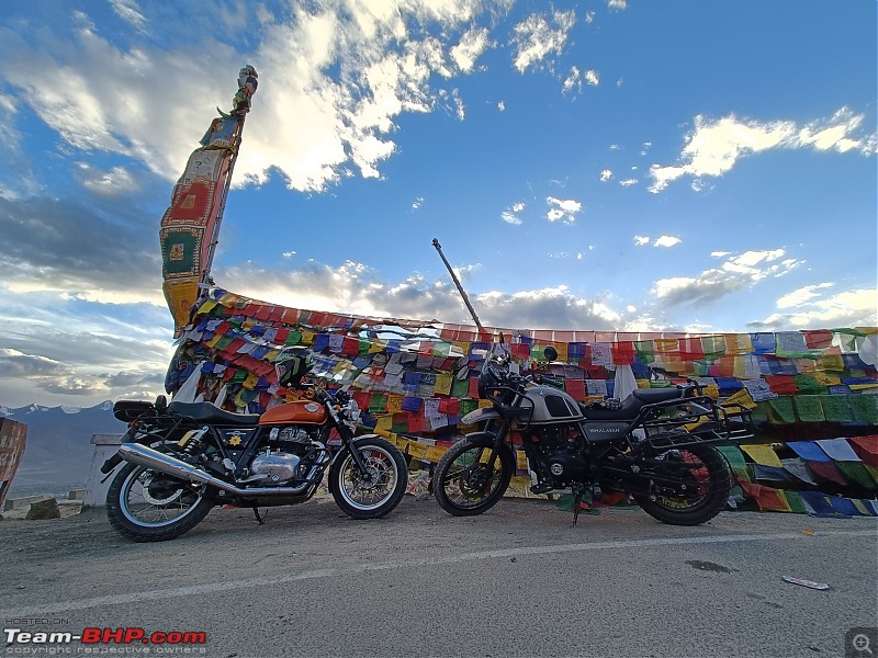 Signing off for now......Continued in Part 2 Last edited by aviator1101 : 17th October 2023 at 09:18. |
| |  (94)
Thanks (94)
Thanks
 |
| The following 94 BHPians Thank aviator1101 for this useful post: | aargee, abhisheksircar, ABHI_1512, Aditya, adityan27, ampere, Aquitej, arvindmanju, ashking101, Ashutosh_kumar, AtheK, Axe77, batterylow, bblost, BoneCollector, brownkaiser, Capri89, CArspeed, CEF_Beasts, chinmaypillay, CrAzY dRiVeR, Cyborg, DDISclatters, deep_bang, DevilzzzzOwn, digitalnirvana, dkaile, Dr.AD, Dreamlifter.07, dr_TJ, ebonho, ex-innova-guy, FAIAAA, FueledbyFury, graaja, GTE, GTO, gypsygenes, Highh5, inwester, Jaison, JayKis, Jeroen, JoshuaM, KarthikK, keroo1099, kiranknair, Kurrant, lapis_lazuli, lejhoom, Mgdoodler, mh09ad5578, Mile_Breaker, MotoBlip, Nature&Me, nettooran, NitNac, OPMaurya, PaddleShifter, paragsachania, PearlJam, Pennant1970, planet_rocker, pramods, quickdraw, Rajeevraj, ralphin_rj, raptor_diwan, RGK, rx100, sam264_2000, Samba, Sangwan, sanjayrozario, sdp1975, shancz, shiv4747, Shreyas Aterkar, shyamg28, sk_cheek13, SmartCat, streetfighter, sukiwa, swe.desi, TheCatalyst, thirugata, Turbanator, turboNath, V.Narayan, VijayAnand1, Vinod_nair, windrider, wolg, YD14 |
| |
| | #2 |
| BHPian Join Date: Sep 2014 Location: Kolkata, Tezpur
Posts: 583
Thanked: 2,681 Times
| re: Father-daughter duo's motorcycle trip to Ladakh | Royal Enfield Himalayan Ladakh Bike Trip : September 2023Part 2 Day 4 : 18 September On this day, we were joined by another colleague and fellow BHPian 220kmph who rides a Tiger 1200 bike and was in Leh to attend the outback festival. He rode all the way from Goa to Leh and decided to join us for the rest of the Ladakh ride. Hat's off to him for his endurance and love for biking.  That made it three bikes from here on. The destination for the day was the Hemis Monastery, one of the oldest and richest monasteries of Ladakh. 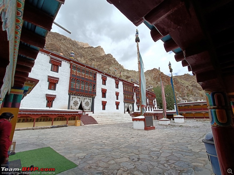 Tucked away from view in the lap of mountains, the Hemis monastery is located at a distance of 40 km from Leh town. It also hosts the annual Hemis festival during the month of June.  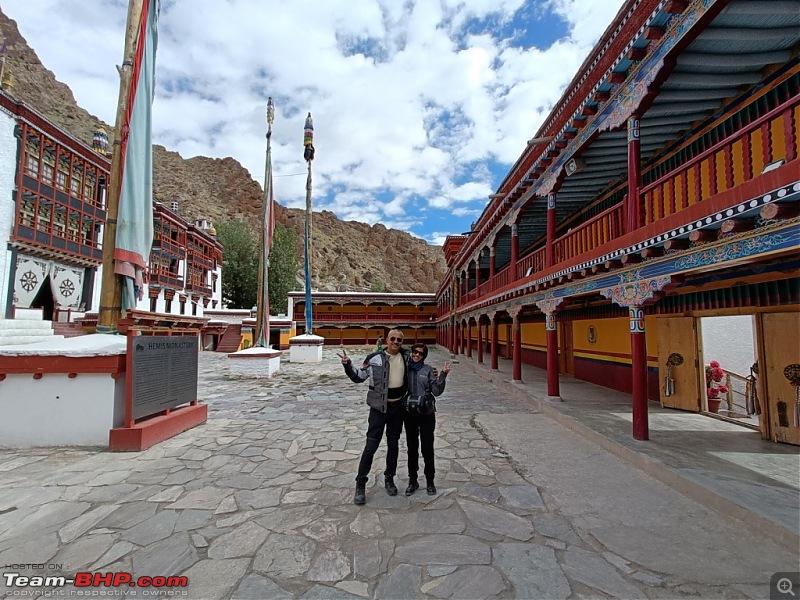 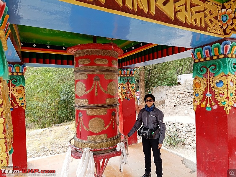 It houses a museum apart from the main Monastery. 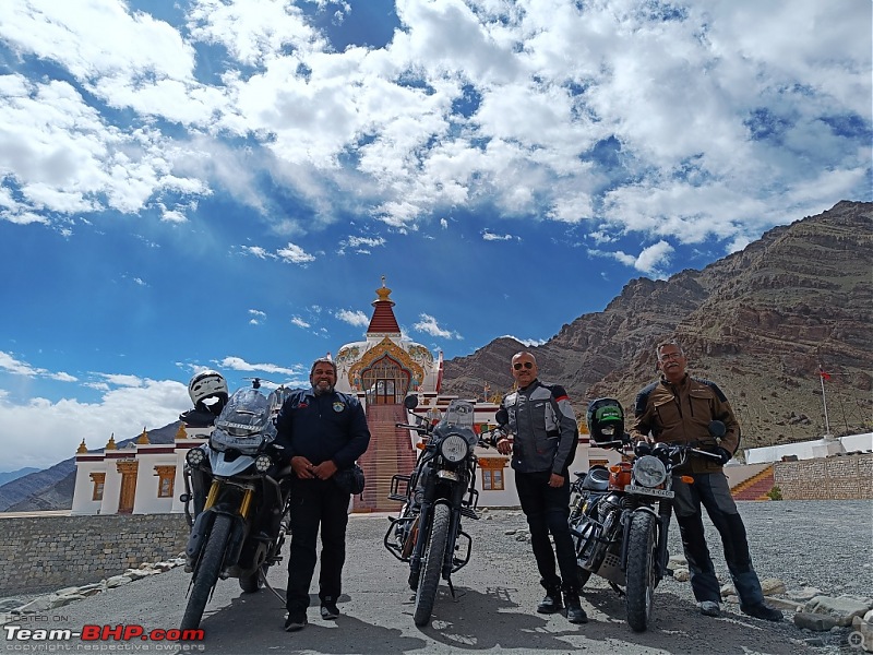 On the way back, we halted for some photographs in the Naropa Stupa complex. 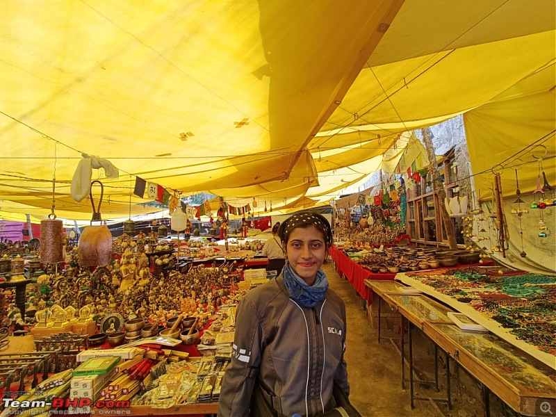 In the afternoon and evening, we went around the Leh market shopping for souvenirs and essentials for the trip ahead. The entire day was gloomy with an overcast sky and it started raining in the evening. We kept our fingers crossed for some good weather the next day when our actual ride out of Leh was to begin. Day 5 19 September The destination for the day was Khardungla which at 17582 feet once claimed to be the World's Highest Motorable Road. Though this data is said to be controversial, the charm of Khardungla still remains unchanged. We started from Leh at around 7:30 am with an overcast sky with light drizzle which meant probable snowfall in the higher reaches.  10 kms short of South Pullu, there were a couple of landslides which held us up for about 45 minutes and bunched up the entire up-going traffic. The rains last night had taken it's toll on the road and we had to negotiate slush and loose rocks on an otherwise smooth road. We reached South Pullu at around 10:30 am. By then the clouds has merged with fog which descended on the roads and reduced visibility to just about 50 meters ahead. The difficulty was compounded by snowfall which greeted us a couple of kms short of South Pullu. With the routine document check and entry at the Ladakh Police Check Post done, we set course for the Khardungla Top. 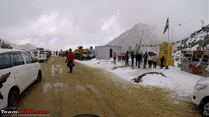 Khardungla suddenly appeared after a turn and we were not surprised to see people flocking the huge wall which forms background of the customary photograph at Khardungla Top. 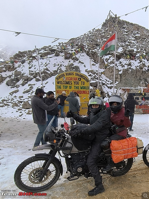 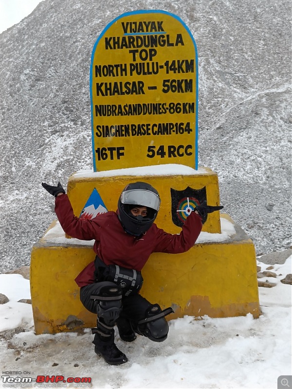 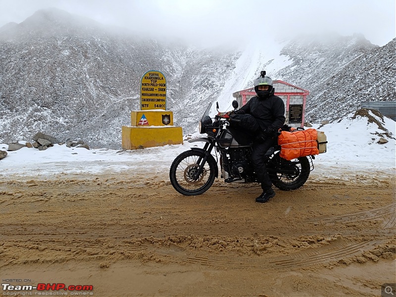 It has snowed since the previous night and there was a good about 3-4 inches of snow on the kerb side. 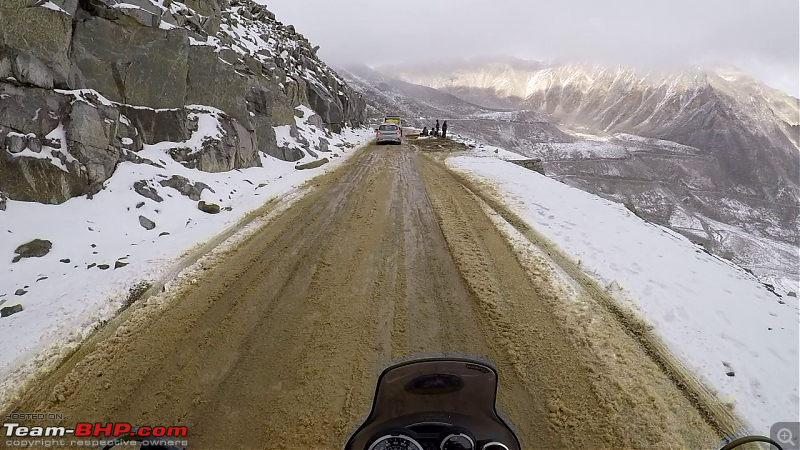 Such sights relieve one from the fatigue of the preceding journey. Truly magic of nature : sunlight, clouds and snow in one frame. 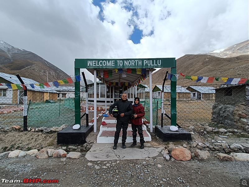 Our next stop was at North Pullu. By then our fingers were almost freezing, so a cup of hot tea and some pakodas were surprisingly refreshing and prepared us for the journey ahead to Hunder. From North Pullu onwards, the road is a mix of black top to under construction patches with loose gravel strewn around where one has to be very careful especially on a two wheeler.  We took almost 2 hours to reach Khalsar where we took a small break and filled up the tanks before setting course for Diskit   The Diskit Monastery and the statue of Maitreyee Buddha, one of the largest of it's kind are the major attractions here. 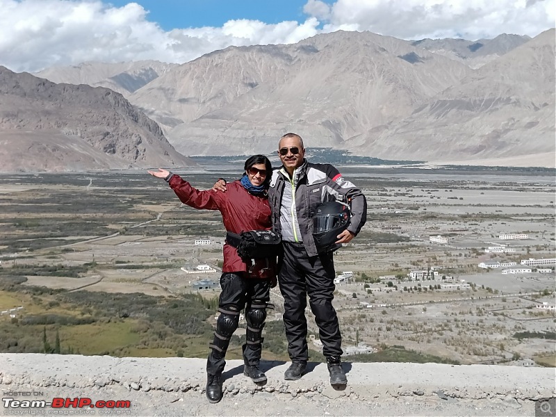 The parking area below the Maitreyee Buddha Statue provides a wonderful view of the Nubra Valley. From the Diskit Monastery we set course for Hunder. But it was almost past 2 pm, so we decided to first head to Pratappur which was our destination for night halt, have lunch, keep luggage in the rooms and then head back to Hunder for enjoying the major attractions of this place. 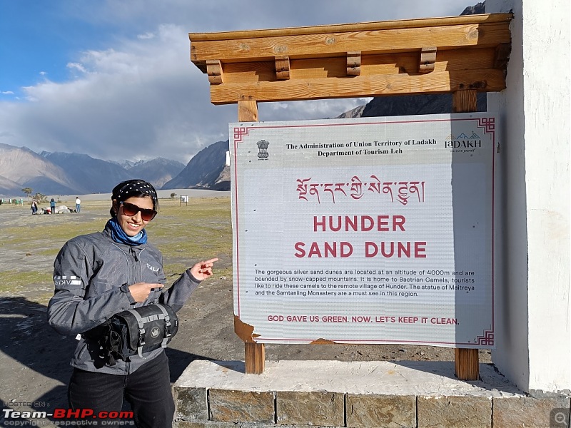 We reached Hunder at around 4:30pm but found it was all bright and sunny at the location where one can get to enjoy a number of activities in one huge complex. There are various activities to choose from, like the double humped bactrian camel ride, ATV ride on the dunes, archery, getting oneself clicked in the local traditional attire etc.  The double humped bactrian camels basking in the sun.  Enjoying the camel ride. 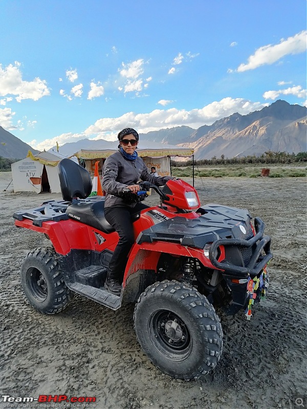 Posing before the thrilling ATV ride. After completing adventure activities for the day, we headed back to Pratappur for the night. Day 6 20 September Next morning we started at around 8 am for Turtuk. Our destination for the day was Thang village in Turtuk, which is the last village on the Indian side. 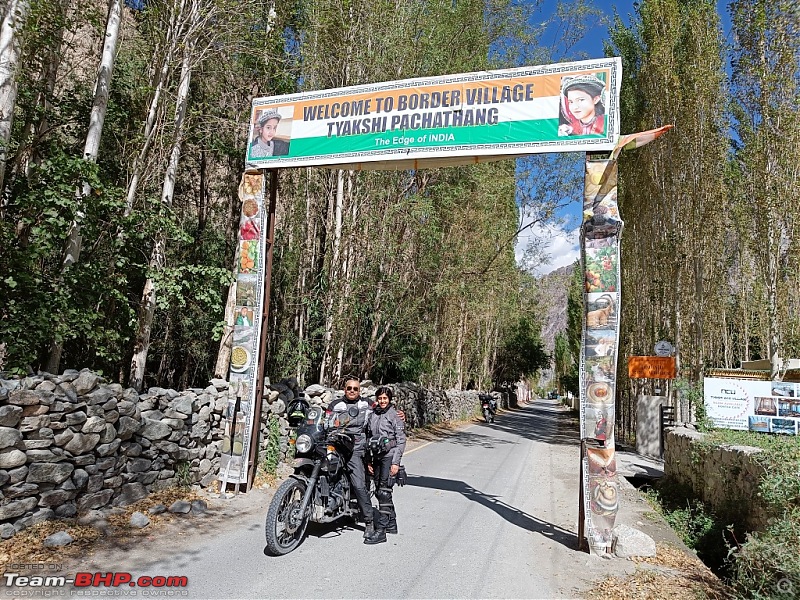 Enroute we crossed the Thoise airfield and also stopped at Thyakshi village.  The bridge on the Shyok river which leads to Thang village. The population here is predominantly Muslim and the language spoken is Balti. 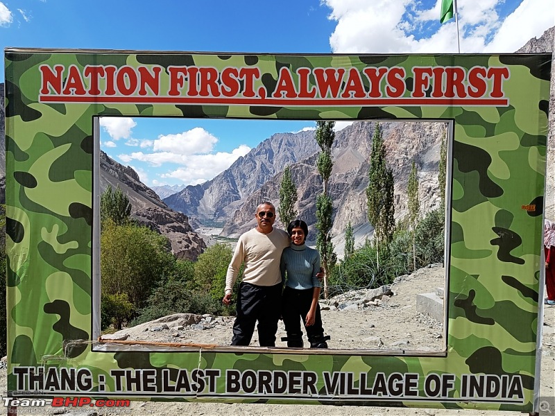 The local guides showed us the Prahnu village in Pakistan and told us how before 1971, Pakistan had control over this village. They also narrated the brave story of Major Rinchen who led and captured this village from Pakistan in December 1971. 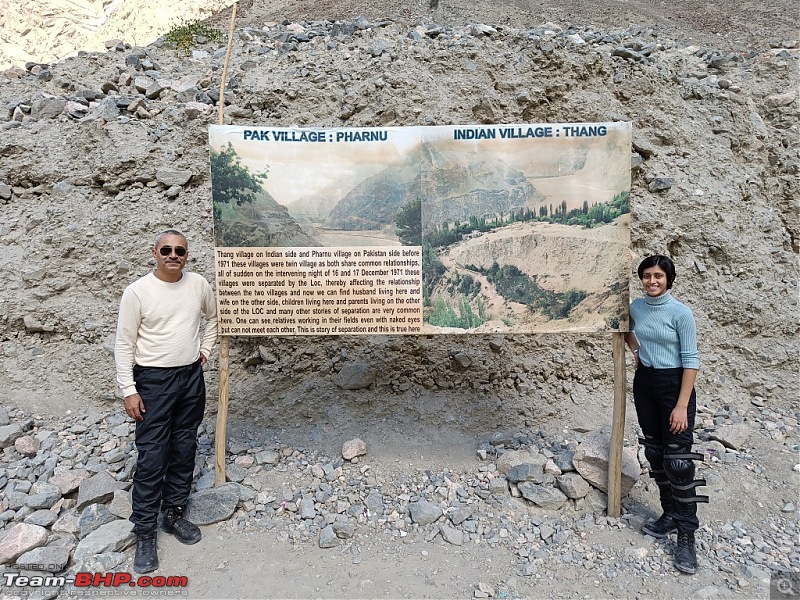 Interestingly Prahnu and Thang were twin villages and even today, relatives of people of Thang stay in Prahnu.  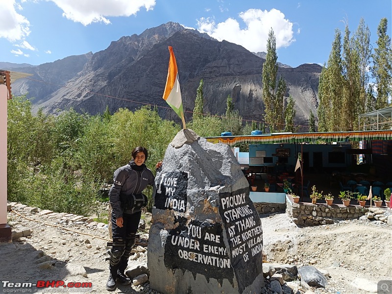 After getting clicked with various signboard demarcating our arrival at the northernmost tip of India, we enjoyed some fresh apricot juice at the local restaurant and headed back for Pratappur. 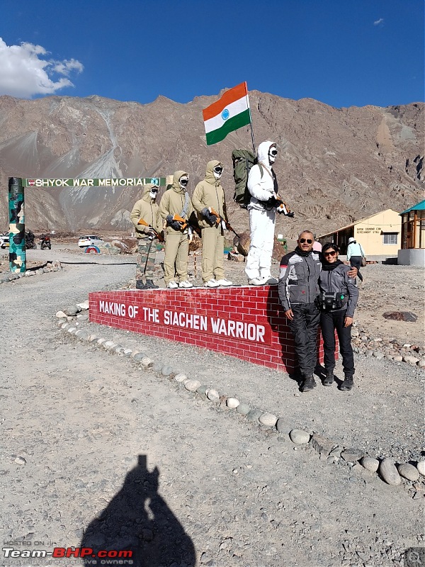 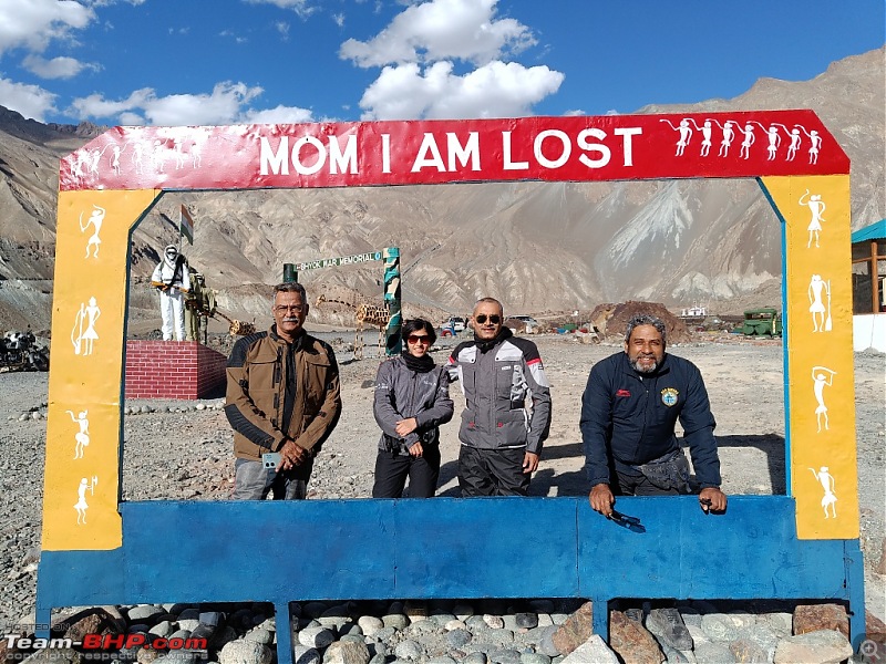 On the way back, we halted at the Shyok War Memorial for some photographs and visit to the souvenir shop. To be continued in Part 3 Last edited by aviator1101 : 17th October 2023 at 13:12. |
| |  (56)
Thanks (56)
Thanks
 |
| The following 56 BHPians Thank aviator1101 for this useful post: | aargee, ABHI_1512, Aditya, adityan27, AnkitAnimesh, ashking101, AtheK, Axe77, Capri89, chinmaypillay, Cyborg, DevilzzzzOwn, digitalnirvana, dkaile, Dr.AD, ex-innova-guy, FLYBOYSID, FueledbyFury, graaja, GTO, InControl, inwester, Jeroen, JJay, KarthikK, keroo1099, kiranknair, Kurrant, Mgdoodler, mh09ad5578, Mile_Breaker, MotoBlip, Nature&Me, Neil Roy, NitNac, OPMaurya, PearlJam, Pennant1970, planet_rocker, pramods, RedPhobos, Samba, Sangwan, sanjayrozario, shancz, Shome, Shreyas Aterkar, shyamg28, sk_cheek13, SmartCat, streetfighter, sukiwa, TheCatalyst, thirugata, V.Narayan, Vinod_nair |
| | #3 |
| BHPian Join Date: Sep 2014 Location: Kolkata, Tezpur
Posts: 583
Thanked: 2,681 Times
| re: Father-daughter duo's motorcycle trip to Ladakh | Royal Enfield Himalayan Ladakh Bike Trip : September 2023Part 3 Day 7 21 September We rode to one of the less visited destinations : the Siachen Base Camp via Sumur, Panamik and Sasoma. A distance of around 115 kms one way which we traversed in 3.5 hours. 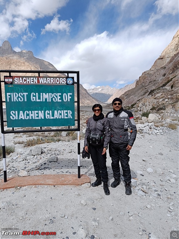 A click enroute to the Base Camp. You can zoom in to see the lowest end of the Siachen Glacier. 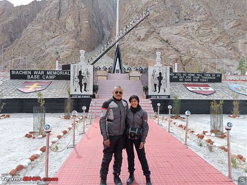 Since it is a restricted area, we were not allowed to click photographs except one at the War Memorial. Post the visit and lunch, we rode back to Khalsar where we topped up our tanks and stayed for the night. Day 8 22 September This was one of the toughest days, both in terms of distance and road conditions. It was a real test of our endurance and perseverance We rode from Khalsar via Agham, Shyok, Durbuk to Tangtse. 90% of the road from Khalsar to Shyok was bad with road disappearing altogether at places. 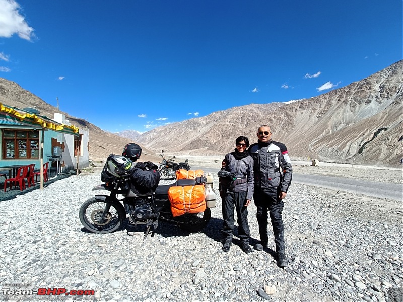 We negotiated this entire stretch and halted at Shyok for a cup of coffee and stetching our limbs after this tiring ride. 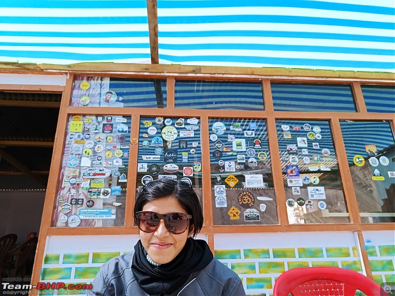 Notice the stickers of various clubs pasted on the window of the cafeteria. 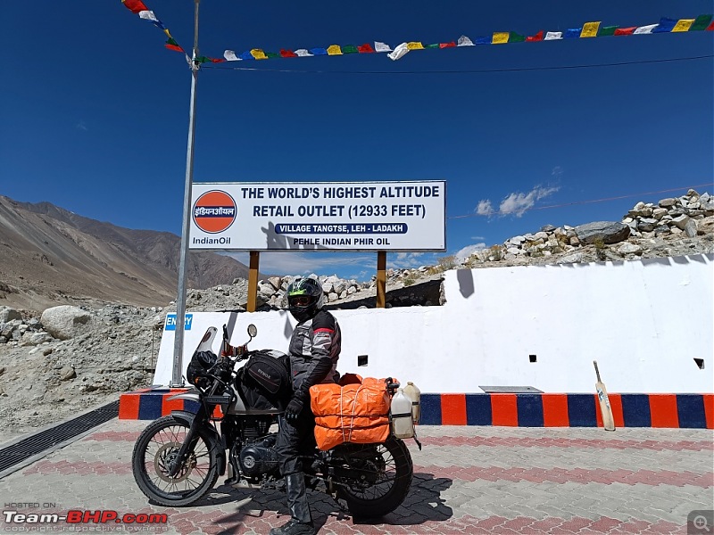 At Tangtse, we topped up the bike tank as well as the spare jerrycans because after Tangtse, there is no other fuel pump in the Nyoma, Hanle, Karzok axes. 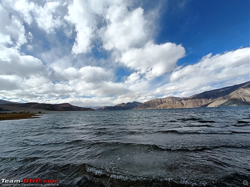 Thereafter we halted for lunch at Lukung. This location is special because it is adjacent to the location where the Pangong lake starts inside Indian territory. For info, Pangong Tso is around 135 kms long, but only 45 kms of this length lies on Indian side of the LAC. 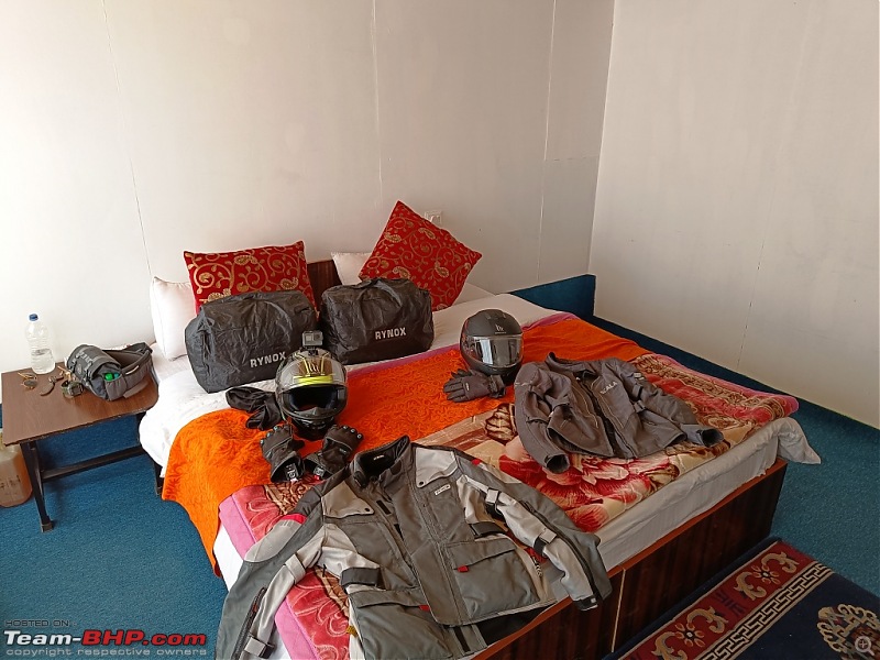 Post lunch we rode via Spangmik, Man to Merak where we stayed at a Eco Cottage for the night. The cottage was clean and cosy and in no time, we turned it into a bikers' den strewn with our gear. I found this location to be much mess crowded than Spangmik and much cleaner too. Also, it is around 22 kms to the south east of Spangmik. So we were that much closer to our next day's destination. 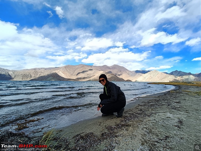  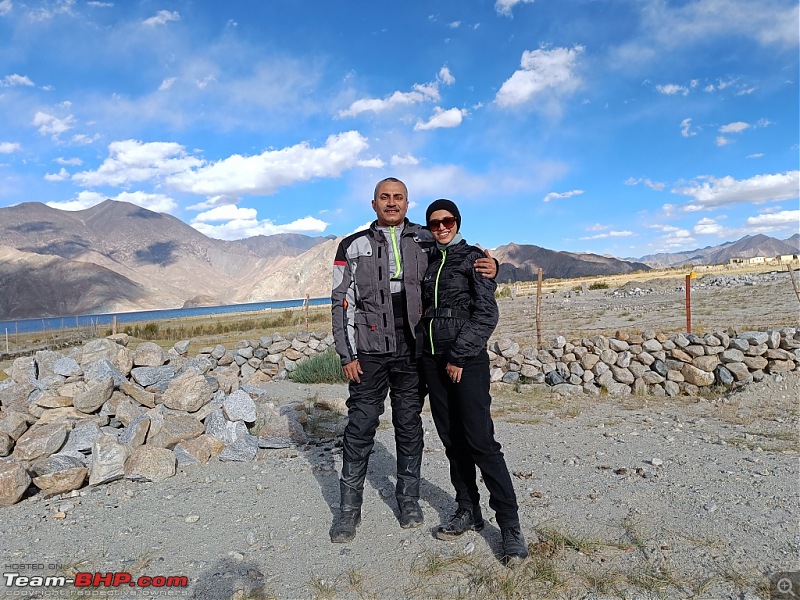 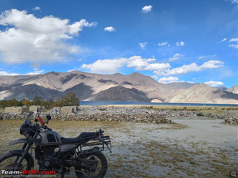 Some random shots by the Pangong Lake. Day 9 23 September Thereafter we rode via Chushul, Kaksang La, Mahe, Nyoma, Loma to Hanle. 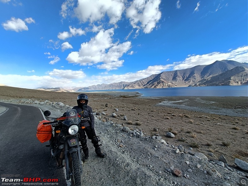 We bid farewell to Pangong before finally turning right and climbing for Chushul village. One has to be cautious while taking the turn at Chushul village for the Kaksangla pass since number of dirt tracks close to Chushul village is confusing and there are chances of getting onto the wrong route. Also, as luck would have it, GPS signal was lost and we had to resort to asking local people for guidance. The clmb to Kaksang La was extremely windy and the top was freezing cold. Since we were not wearing our rain gear which also doubled up as wind cheaters, we decided not to stop and continue riding down to Mahe. The route from Chushul till Mahe was all good roads with almost no traffic, which obviously has its own pros and cons. At Mahe where we hit the plains and the main highway which goes from Upshi to Nyoma and ahead. At the T junction, there were two humble restaurants which sell Tea, Coffee, Maggi and Momos. After the bone-chilling and tiring ride from Merak to Mahe, the simple tea and rustic momos also tasted heavenly. From Mahe to Loma, the route is fantastic double lane black top road where one can easily maintain speeds of 80-90 kmph. However, one has to be careful for the tank crossing enroute where the roads take a sudden dip to avoid losing control. 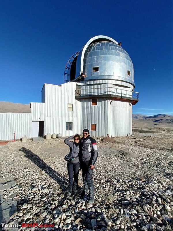 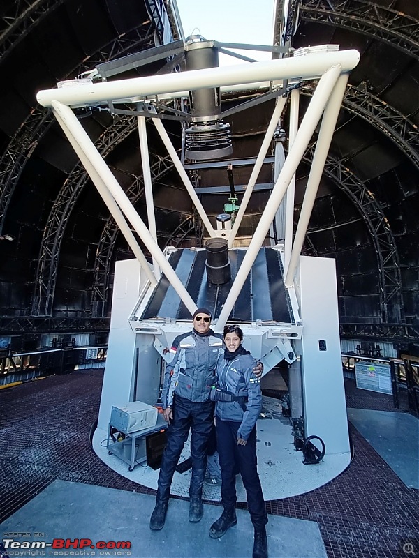 After reaching the motel where we planned night stay, we decided to visit the famous Hanle Observatory. Luckily the observatory was undergoing routine maintenance.  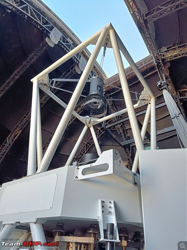 So we could request the technician to show us the functioning including 360 degrees rotation of the roof and movement of the telescope on all the axes. Day 10 24 September We rode from Hanle to Umlingla, the highest motorable pass in the world. There are three routes to reach Umlingla. However, we chose the one with max blacktop, ie via Photila pass. We started at around 9 am from Hanle when the temparatures were around 9 degress but the wind chill factor was akin to just about 2 degrees despite a clear sky and bright sunny weather. I would rate the climb to Photila more difficult compared to the later part as it is a series of very sharp hairpin bends which necessitate dropping of speeds to near-stopping and then again negotiate the ensuing climb. From Photila one has to descend to Photile and then again start climbing after crossing Chishumle. 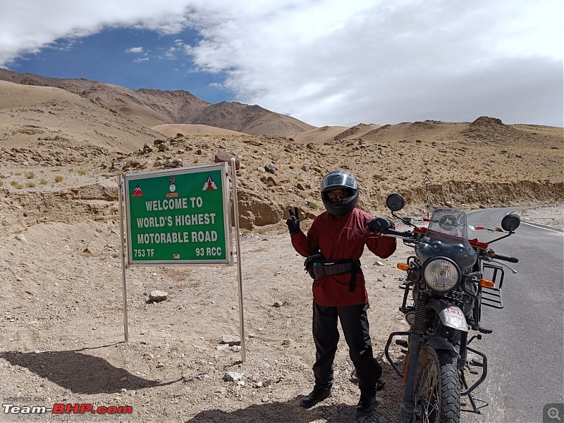 At Chishumle, there is a BRO cafe which sells warm tea which is more akin to Kashmiri Kawa and plane-jane Maggi. But the major attraction is the board which reads "Welcome to the Highest Motorable Road in the World". In fact, the route to Umlingla is much easier to negotiate, and the entire stretch is punctuated with very interesting sign boards. 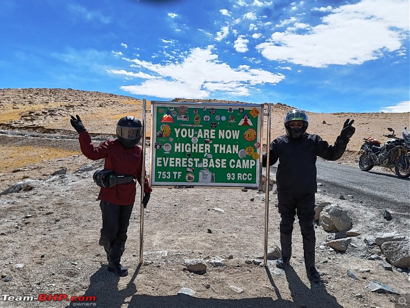 Posing with one such board which declares proudly that you have reached an altitude higher than the Everest Base Camp. At Umlingla, the winds were very strong, nothing less than 30 kmph and the temparatures must have been 2 to 3 degrees, but the chill factor was akin to sub zero tempararures. It left one gasping for breath after lifting the helmet visor for a few seconds. 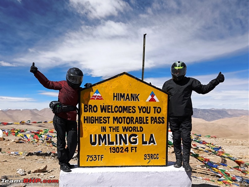 So we decided to keep the helmets on for the rest of the halt duration at Umlingla, even for father-daughter pose with the wall   220kmph, however, was brave enough to take off his helmet and pose with the bike and the famous Umlingla Wall. 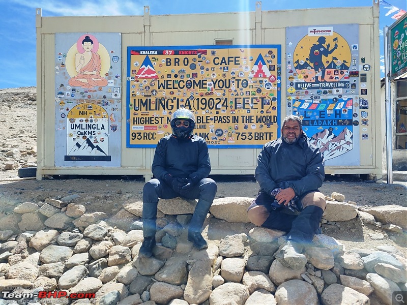 Self and 220kmph in front of the BRO Cafe at Umlingla The ride back to Hanle was uneventful except coming across a duo (one guy from Chennai and the other from Sikkim who had met at Leh and decided to pair up for rides) who rode from Hanle to Umlingla in crocs. Hats off to their endurance. Day 11 25 September After the highest motorable pass, we set course towards one of the most beautiful lakes in Ladakh which is also completely within Indian territory : Tso Moriri. The route from Hanle to Mahe was the same which we had traversed two days back. Now we took a left turn from Mahe towards Sumdo. The distance of 16 kms from Mahe to Sumdo is good. But after Sumdo, the stretch of 40 odd kms till Karzok is all akin to mild to difficult off roading. Road construction is under progress at a rapid pace and in next 1-2 years time, one will find complete black top roads till Karzok. At Karzok, there is a Y junction. The left road is black top/concrete which goes towards Chumur. The right road is gravel surface and leads to Karzok village. Personally I felt Tso Moriri is more beautiful than Pangong and I also felt it's serene surroundings have not yet been touched by the evil of commercialization. 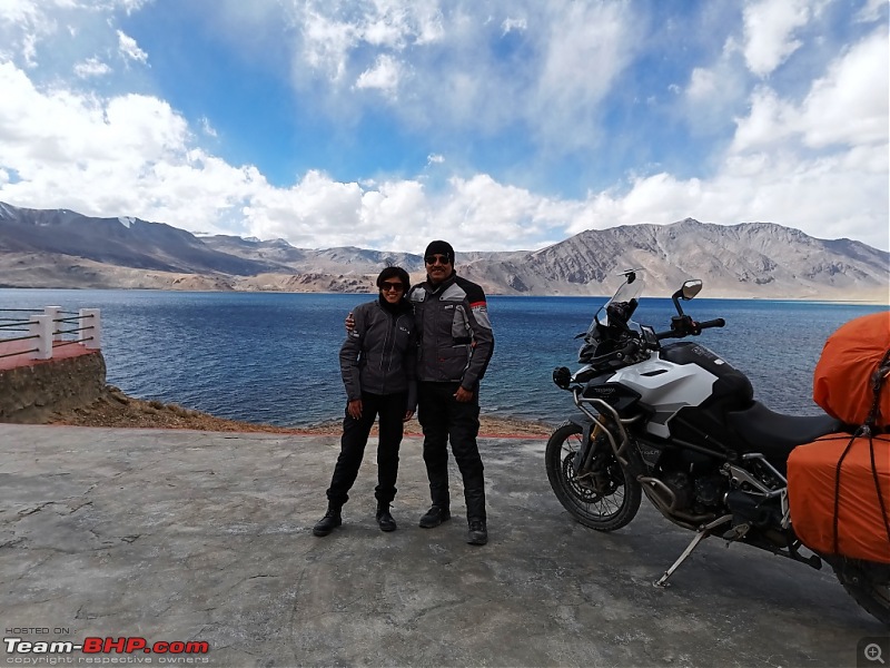 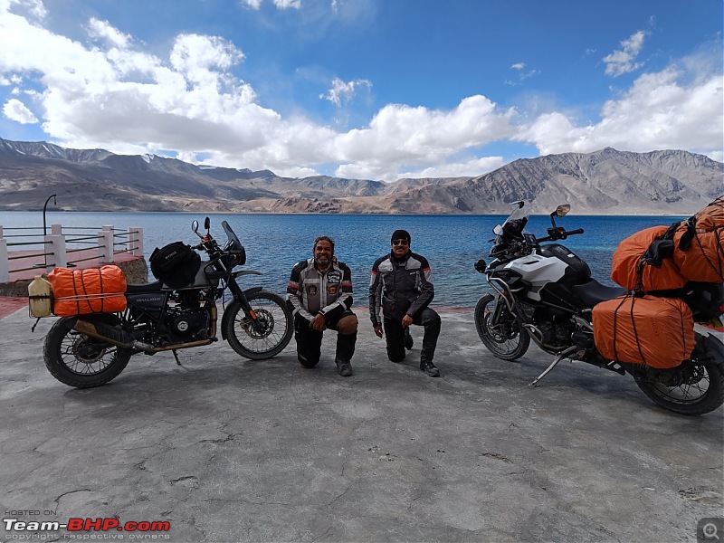 A few random pics on the banks of the Tso Moriri 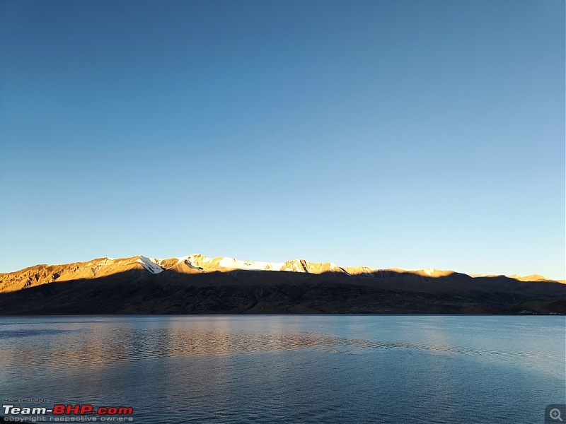 The only place to stay around Tso Moriri is in the home stays at Karzok village which is bang on the banks of the lake which gives excellent view of sunrise/sunset Day 12 26 September The last day of our ride. Uneventful as we rode back to Leh via Sumdo, Mahe, Chumathang, Kiari and Upshi. A stretch of 15 kms from Mahe towards Chumathang was under widening and resurfacing. Beyond that we enjoyed cruising on the butter smooth roads till Leh. 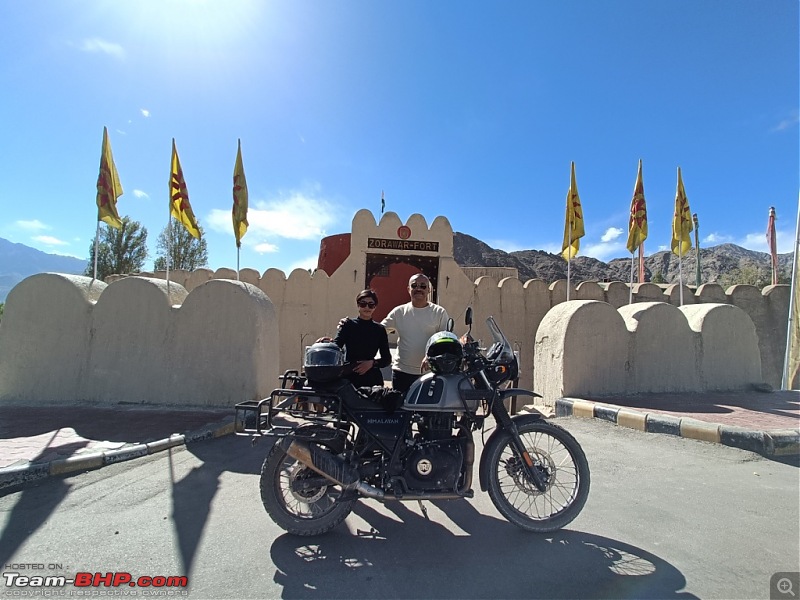 Before returning the bike, we made it a point to visit the Zorawar Fort at Leh Day 13 27 September As all good things must come to an end, so did our wonderful journey across the expanse of Ladakh. 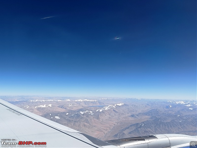 View of the Tso Moriri tucked amidst the mountain ranges as seen from the aircraft. 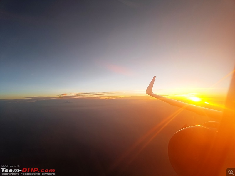 Ladakh is a vast area with so much to see and explore that it is impossible to cover in 10-12 days. So we keep the remaining areas pending till we return to this place which is truly called the Bikers' Paradise.  JULLEY.  Last edited by aviator1101 : 17th October 2023 at 15:23. |
| |  (102)
Thanks (102)
Thanks
 |
| The following 102 BHPians Thank aviator1101 for this useful post: | aargee, AbhishekNigam, abhisheksircar, ABHI_1512, abtyagi, Acharya, Aditya, adityan27, AlphaKiloPapa, anandhsub, AnkitAnimesh, Arun_S, arvindmanju, Ashutosh_kumar, AtheK, Blue Vitriol, BoneCollector, brownkaiser, Capri89, carsirdar, catchjyoti, CEF_Beasts, chinmaypillay, cnu, commander.sri, Crank270, Cyborg, DevilzzzzOwn, DFendyr, digitalnirvana, Dippy, dkaile, Dr.AD, ellip5i5, ex-innova-guy, FAIAAA, FLYBOYSID, FueledbyFury, Gannu_1, graaja, GTO, Highh5, Ikran, inwester, Jaison, Jeroen, JJay, jomson13, JoshuaM, kap04, KarthikK, keroo1099, kiranknair, mh09ad5578, Mile_Breaker, MotoBlip, NagaBond, Nature&Me, Neel70, Neil Roy, Newtown, NitNac, Omkar, OPMaurya, PearlJam, Pennant1970, planet_rocker, pramods, praveen789, quickfox11, Rajeevraj, raptor_diwan, RedPhobos, RGK, RRU, sam264_2000, Samba, Sangwan, sanjayrozario, sanjoyraju, shancz, Shome, Shreyas Aterkar, shyamg28, sk_cheek13, sreerknair, sridhu, SS-Traveller, streetfighter, sukhbirST, sukiwa, supertinu, swe.desi, tharian, thirugata, turboNath, V.Narayan, vabhian, Vikram Arya, Vinod_nair, where_to_next, windrider |
| | #4 |
| Team-BHP Support  | re: Father-daughter duo's motorcycle trip to Ladakh | Royal Enfield Himalayan Thread moved out from the Assembly Line. Thanks for sharing! |
| |  (4)
Thanks (4)
Thanks
 |
| The following 4 BHPians Thank Aditya for this useful post: | aviator1101, digitalnirvana, GTO, Samba |
| | #5 |
| BHPian Join Date: Oct 2011 Location: Kochi
Posts: 60
Thanked: 44 Times
| re: Father-daughter duo's motorcycle trip to Ladakh | Royal Enfield Himalayan Wow, what a ride it was. Memories of a life time. Thanks, Aviator1101, will always cherish this ride. And a special shout-out to the young lady, for being a great ride partner. We must all do this again, another road, another journey Last edited by 220kmph : 17th October 2023 at 17:53. |
| |  (14)
Thanks (14)
Thanks
 |
| The following 14 BHPians Thank 220kmph for this useful post: | adityan27, aviator1101, Axe77, carsirdar, digitalnirvana, FLYBOYSID, inwester, mh09ad5578, Neil Roy, planet_rocker, sachin_cs, sam264_2000, Samba, Shreyas Aterkar |
| | #6 |
| Senior - BHPian Join Date: Feb 2004 Location: Mumbai, India
Posts: 7,612
Thanked: 2,921 Times
| re: Father-daughter duo's motorcycle trip to Ladakh | Royal Enfield Himalayan What wonderful pictures and write-up. This must be a very special trip for you because its a father-daughter trip. That relationship is very special I feel. Going through your travelogue took me back to my road trip to Ladakh with Mahindra Adventure and their convoy of SUVs in 2019. Coming back from Ladakh sure gives you withdrawal symptoms. Now that I have my own Thar, its on my to do list to drive to Leh from Mumbai and do Umling La as well. Fingers crossed. |
| |  (7)
Thanks (7)
Thanks
 |
| The following 7 BHPians Thank Dippy for this useful post: | adityan27, aviator1101, digitalnirvana, mh09ad5578, Neil Roy, sachin_cs, Samba |
| | #7 |
| Distinguished - BHPian  | re: Father-daughter duo's motorcycle trip to Ladakh | Royal Enfield Himalayan What a lovely father-daughter tale this has turned out to be.  Enjoyed reading the travelogue thoroughly. The smiling faces of both of you speaks a volume on how you two must have enjoyed this trip. Am sure this trip will be cherished by both of you forever. Hope to see your daughter riding her own bike very soon.  Last edited by Samba : 18th October 2023 at 01:20. |
| |  (7)
Thanks (7)
Thanks
 |
| The following 7 BHPians Thank Samba for this useful post: | ABHI_1512, adityan27, aviator1101, digitalnirvana, RGK, sam264_2000, sanjoyraju |
| | #8 |
| Team-BHP Support  Join Date: Jun 2009 Location: Mumbai
Posts: 7,988
Thanked: 24,017 Times
| re: Father-daughter duo's motorcycle trip to Ladakh | Royal Enfield Himalayan What an absolutely lovely experience to have with your young kid. Reminded me of my own trip to that region with some college mates, back in 2015 but some day I would love to ride their with my son when he’s old enough. Thanks for sharing the wonderful journey with us. |
| |  (5)
Thanks (5)
Thanks
 |
| The following 5 BHPians Thank Axe77 for this useful post: | ABHI_1512, adityan27, aviator1101, digitalnirvana, RGK |
| | #9 |
| BHPian Join Date: May 2010 Location: Chennai
Posts: 504
Thanked: 1,391 Times
| Re: Father-daughter duo's motorcycle trip to Ladakh | Royal Enfield Himalayan Awesome report and great pictures. Great to read this Father-Daughter trip which is so special. God Bless Swami |
| |  (3)
Thanks (3)
Thanks
 |
| The following 3 BHPians Thank swami69 for this useful post: | aviator1101, digitalnirvana, RGK |
| | #10 |
| BHPian Join Date: Aug 2021 Location: Delhi
Posts: 55
Thanked: 72 Times
| Re: Father-daughter duo's motorcycle trip to Ladakh | Royal Enfield Himalayan Awesome report @Aviator 1101, glad that you finally found time to pen it. September and early October are my favorite times to visit Ladakh and Spiti as well. Will hopefully do it on motorcycle next year. Am very impressed with your daughter's ability to go through such a strenuous journey and to enjoy it thoroughly. Hopefully next time you go she will also be riding her steed  |
| |  (2)
Thanks (2)
Thanks
 |
| The following 2 BHPians Thank A350 for this useful post: | aviator1101, digitalnirvana |
| | #11 |
| Newbie Join Date: Feb 2023 Location: Hyderabad
Posts: 14
Thanked: 25 Times
| Re: Father-daughter duo's motorcycle trip to Ladakh | Royal Enfield Himalayan This is really awesome. You have given me life goals sir. |
| |  (2)
Thanks (2)
Thanks
 |
| The following 2 BHPians Thank Crank270 for this useful post: | aviator1101, digitalnirvana |
| |
| | #12 |
| BHPian Join Date: Oct 2023 Location: Kochi
Posts: 37
Thanked: 128 Times
| Re: Father-daughter duo's motorcycle trip to Ladakh | Royal Enfield Himalayan Wow! An awesome trip report. A worthy read. Itís great to see the creation of wonderful memories with your daughter  I canít wait enough to go on a similar trip with my now 2 year old son  |
| |  (2)
Thanks (2)
Thanks
 |
| The following 2 BHPians Thank Dreamlifter.07 for this useful post: | digitalnirvana, gauravanekar |
| | #13 |
| Team-BHP Support  | Re: Father-daughter duo's motorcycle trip to Ladakh | Royal Enfield Himalayan This is so awesome. Love love love love this. I am sharing this link with my daughter. Will do this ride someday. |
| |  (3)
Thanks (3)
Thanks
 |
| The following 3 BHPians Thank bblost for this useful post: | aviator1101, digitalnirvana, gauravanekar |
| | #14 |
| Senior - BHPian Join Date: Feb 2010 Location: DPM and CHN
Posts: 1,874
Thanked: 1,260 Times
| Re: Father-daughter duo's motorcycle trip to Ladakh | Royal Enfield Himalayan Fine travelogue with nice pictures. The daughter-dad duo is a unique combination in the family, and have seen it many times when my daughter was studying in Coimbatore. Best wishes and God's blessings. |
| |  (3)
Thanks (3)
Thanks
 |
| The following 3 BHPians Thank RGK for this useful post: | adityan27, aviator1101, digitalnirvana |
| | #15 |
| BHPian Join Date: Aug 2014 Location: Bangalore
Posts: 221
Thanked: 553 Times
| Re: Father-daughter duo's motorcycle trip to Ladakh | Royal Enfield Himalayan Awesome. Congratulations to you and your daughter. It's always a special feeling to travel with your kid/s / young ones. Been a while since I did one. Your travelogue has rekindled the resolve to make one happen soon. |
| |  (2)
Thanks (2)
Thanks
 |
| The following 2 BHPians Thank FAIAAA for this useful post: | aviator1101, digitalnirvana |
 |

