| |||||||
| Search Forums |
| Advanced Search |
| Go to Page... |
 |
| Search this Thread |  27,441 views |
| | #1 |
| BHPian Join Date: Apr 2014 Location: Account closed
Posts: 315
Thanked: 1,019 Times
| Climbing Mount Fuji, Japan I was in Japan earlier this year - on invitation of Kyoto University. Naturally my mind worked overtime to identify the things I wanted to do on my travel - buying some authentic Kyoto pottery (Kiyomizu-yaki) and climbing Mt Fuji were on top of that list. Shopping for pottery was easy, a half day spent in Kyoto lightening my purse by thousands of Yen for the exquisite stuff sold near the Kiyomizu-dera shrine - arguably the centre of Kyoto-style ceramic ware (as well as a UNESCO heritage site in its own right). Reaching the top of Fuji (another UNESCO heritage site) was harder and certainly more of an adventure - this is that narrative. I. Location and background Mt Fuji or Fujisan as known in Japan (but not Fujiyama) is a dormant (some say active) volcano about 150 km by road South-West from Tokyo and 350 km by road North-East from Kyoto (aerially it is 100km from Tokyo and apparently can be seen on clear days - though that never happened during my stay). ▼ Images 1-2: General location of Mt Fuji within Japan, especially relative to Tokyo and Kyoto 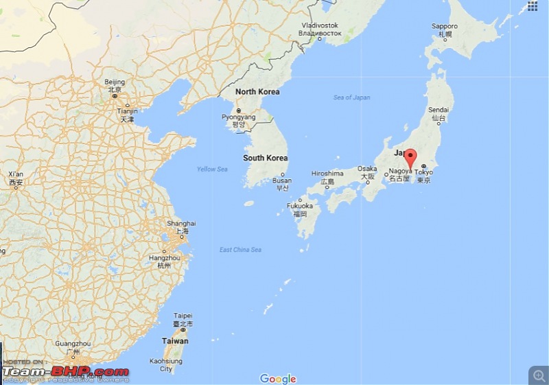 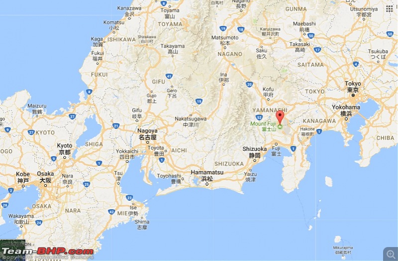 The volcano rises to a height of 3,773m (12,400 ft) - the highest in Japan; its symmetrical form and isolation from other peaks means that it stands out spectacularly and is aesthetic and therefore has had a huge influence on Japanese culture where it is considered sacred. This has also led to the development of a massive tourism industry in that region. Danger of an eruption is uncertain - the last was in 1707 (when Tokyo was covered with 4 to 6 inches of ash) though seismic activity in 2011/12 indicates presence of magma underneath. Nonetheless Fujisan is considered quite harmless especially in contrast with other easily climbable volcanoes such as Mt Etna (that had heavy ash smoking vents and visible lava streams during my visit to Italy in May 2017) or even Mt Vesuvius (with its few steam vents active in May). ▼ Image 3: A 'classic' photo of Fuji. The cherry blossoms, snow cap and clear weather suggest April or May. 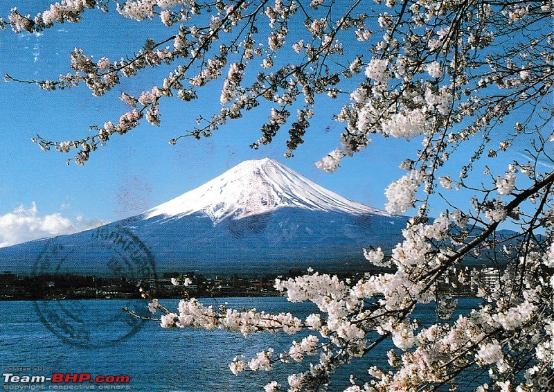 ▼ Image 4: The topological map of Fuji as available on Google. The symmetry is very evident. 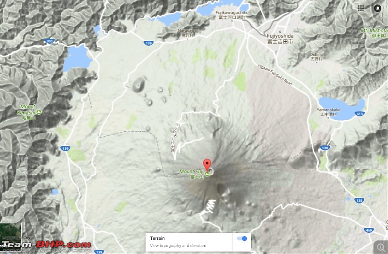 The location of Fuji is somewhat close to the Tokyo-Kyoto road/rail route but getting off mid way involves many transfers; instead the best way is to take direct transport from either Tokyo or Kyoto to one of the adjacent towns - Gotemba, Kawaguchiko and Fujinomiya. From these towns there is a choice of four climbing trails that approach the summit from different sides. Each of these trails has a point which can be reached by a motorable road beyond which on-foot climbing is necessary. The trails - named Gotemba, Yoshida, Subashiri and Fujinomiya each have shelters at designated altitudes (rows of wooden cabins with basic bunk beds, restrooms, some food, drinks and medical supplies) and these are named 'stations' - labelled 1 through 8. In each of the trails the motorable road ends at the respective 5th station (at an altitude of 1,450m to 2,390m depending on the trail). Administratively three of the trails lie within the Shizuoka prefecture (province) and the Yoshida trails lies within the Yamanashi prefecture. ▼ Image 5: A rough illustration of the climbing trails 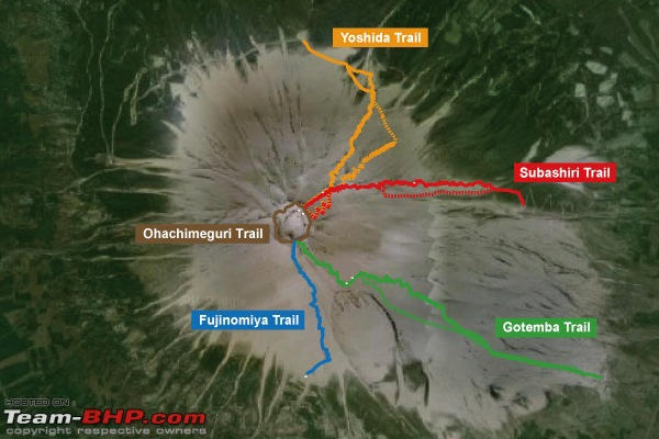 Fuji is described by most guides as a technically easy climb - meaning anyone with some basic fitness should be able to accomplish it (with plenty of anecdotes about old monks, young children, WW2 veterans and amputees doing so). The principal hardship to climbing is the weather - snow, rain, landslides, hail, wind and, of course, the cold. There is also a myriad of altitude sickness ailments that affect people, some more than others, including such frightening ones such as HAPD or high altitude pulmonary edema where death occurs suddenly due to oxygen deprivation on account of fluid buildup in lungs. The mean daily temperatures above the snow line (3,000m) are routinely 0.0 deg C to -30.0 deg C in the period Nov-April and that together with the heavy snow cap has led to an official climbing season of three months (July-Sep) when authorities recommend venturing a climb and during which period basic infrastructure remains in place (medical, shelters, restrooms). At other times it is still legally ok to climb but with the knowledge that conditions may be difficult / dangerous and help may not be at hand. My engagement in Japan ended on June 23 and since I could stay back only another week I decided to undertake the climb on the 27th or 28th - i.e. just before the climbing season but in weather quite close to favorable. I assumed that park authorities would be busy with preparations (for the start of the climbing season on July 01) so help would be at hand if need be. I also assumed that since 300,000 people climb the mountain each year at least some outliers would be present on those dates I would be going. Despite all this none of my former Japanese classmates and friends had ever climbed Fuji (or knew anyone who had) so it was a bit annoying to do all the research and planning from scratch. Many, in fact, were bored to death of the zillion cultural depictions of Fuji from their school tiffinbox covers to wall murals, pottery and emblems. The actual elevation gain for a casual climb is about 1,500m (5,000 ft) - also depends on the exact trail employed. The vast majority of climbers do this with an overnight halt on the mountain, resuming before dawn to get a glimpse of the sunrise (called Goraiko) before making their way back by morning. I did not have that much time, the mountain shelters would be closed and in any event they are incredibly expensive - and therefore decided to reach the summit and return on a single day - entailing about 10 hours of ascent and descent. Last edited by Kumar R : 9th October 2017 at 05:06. |
| |  (18)
Thanks (18)
Thanks
|
| The following 18 BHPians Thank Kumar R for this useful post: | .anshuman, 14000rpm, BlackPearl, BoneCollector, dZired, gmhossain, GTO, jaunthead, lancer_rit, parsh, pulsar56, rajesh1868, Secretariat, Sheel, sparky@home, theexperthand, vb-saan, yosbert |
| |
| | #2 |
| BHPian Join Date: Apr 2014 Location: Account closed
Posts: 315
Thanked: 1,019 Times
| re: Climbing Mount Fuji, Japan II. Choice of Route and preparation I decided to head to Fuji from the city of Kyoto on Jun 27 - to avoid losing time and undertake the climb the very next day (June 28), with a return to Tokyo the day after (June 29). I chose the Yoshida trail - the most popular one of the four (used by over 60% of all climbers) - though at a 15km linear distance and a 1,470m elevation gain, it is neither the shortest (Fujinomiya - 10km), nor the gentlest (Gotemba - 2,300m). That meant I had to get to Kawaguchiko, the town closest to the trail head - and also factor in the limited public transport options to the Yoshida 5th station from and to Kawaguchiko, before and after the climb. The Yoshida trail is one of the two trails (with Subashiri) that eventually approach the summit from the eastern slope. I have never faced any medical problems with high altitude and was confident on that front. Nonetheless I am not in the habit of trekking many kilometres in hills (or anywhere else!) and I needed some exercise to warm up and take stock of my limitations. To do that I spent a half-day in Kyoto hiking to the summit of Mt Hiei-zan - another famous mountain that towers 850m over Kyoto (and also houses the famous Enryakuji temple - the seat of a cult of ancient warrior monks). That hike - completed in three hours on June 25 amidst light rain and complete solitude (not a single other person), went well and gave me plenty of confidence. This also gave me an experience of hiking terrain similar to the lower reaches of Fuji (which I would miss by starting at the 5th station). ▼ Images 6-11:Photos of hiking Mt Hiei (#11 is a view of Kyoto from the summit) 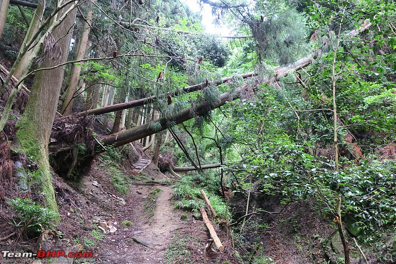 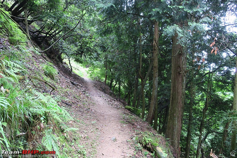 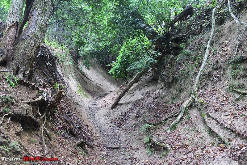 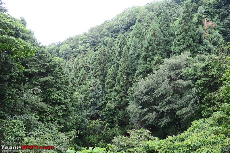 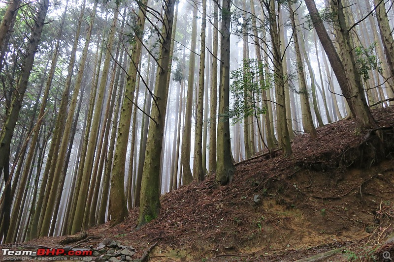 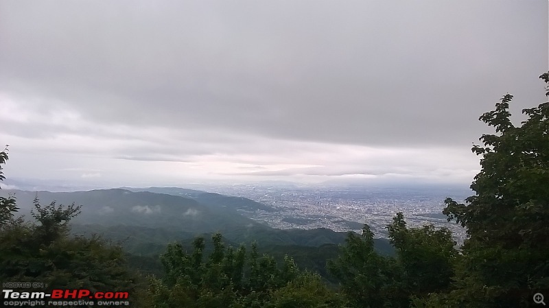 ▼ Video #1: Fog sweeping through the forests at the top of Mt Hiei Last edited by Kumar R : 8th October 2017 at 20:08. |
| |  (13)
Thanks (13)
Thanks
|
| The following 13 BHPians Thank Kumar R for this useful post: | 14000rpm, ach1lles, aniket17, BlackPearl, dZired, gmhossain, GTO, pulsar56, Sheel, sparky@home, theexperthand, vb-saan, yosbert |
| | #3 |
| BHPian Join Date: Apr 2014 Location: Account closed
Posts: 315
Thanked: 1,019 Times
| re: Climbing Mount Fuji, Japan III. Getting to Kawaguchiko from Kyoto There are very limited direct bus connections from Kyoto to Kawaguchiko and rail was too expensive (besides also requiring two transfers). I therefore booked a morning JR bus (operated by Japanese Rail, • 4,100) that took an unorthodox route from Kyoto to Tokyo getting off on the Tomei expressway close to the town of Gotemba. The plan was to walk from the highway to Gotemba town and then take one of the frequent (every 30 min) services to Kawaguchiko (35 km away). This had the benefit of making the most of the odd check out/ check in policy in Japan - 1000 / 1500 and having the evening in Kawaguchiko to rest for the climb. ▼ Image 12: Kyoto to Tomei-Gotemba route 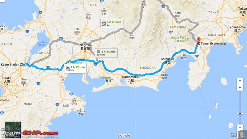 ▼ Image 13: Kyoto Station (taken on my early arrival a few days earlier) 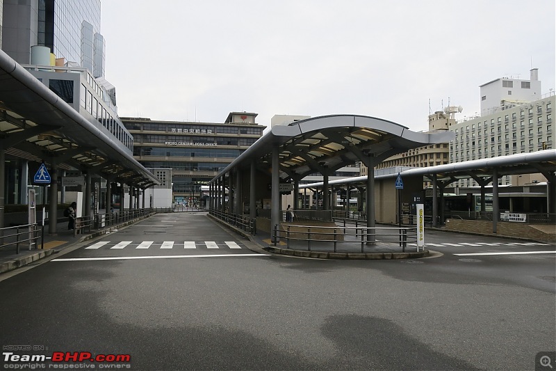 True to Japanese punctuality my JR bus arrived at Kyoto bus station ridiculously on time at 1131 and dropped me off at Tomei-Gotemba at 1704 (a 4 minute delay in a 360 km road journey!). The bus was luxurious and stopped thrice for 15 minute breaks at large halting complexes housing restrooms, supermarkets, fuel and restaurants. ▼ Image 14: My very luxurious JR bus (with two aisles!) 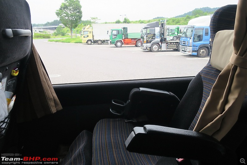 ▼ Image 15: Tomei-Gotemba, a highway pit-stop 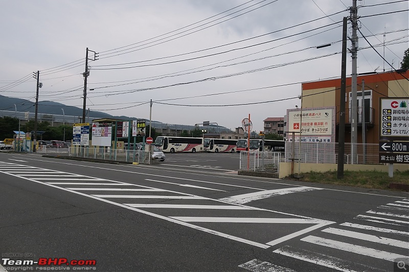 From Tomei-Gotemba I walked the 2km to Gotemba station (Japanese use ‘station’ for both bus and rail services) in 30 minutes and purchased a ticket to Kawaguchiko on the 1740 bus (• 1,510). One persistent problem in Japan was the non-availability of any detailed GPS maps on my phone (common to Korea, China and Japan) [apparently some licensing issue with the governments] and throughout my stay in Japan the GPS worked very crudely only at unhelpfully small scale views. I therefore was armed with prints of the maps and copious directions. ▼ Image 16: Gotemba station... 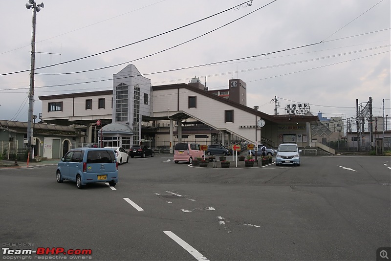 ▼ Image 17: ...that I had to cross for buses heading towards Fuji 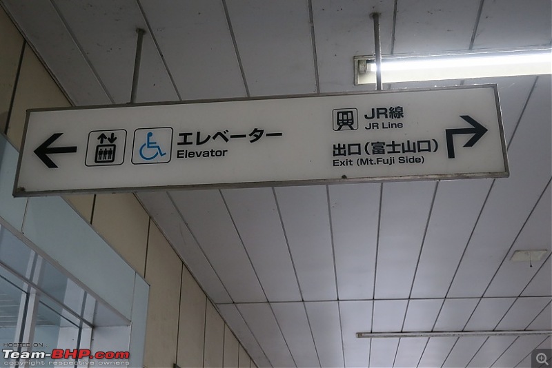 ▼ Image 18: I had to purchase a ticket from this counter... 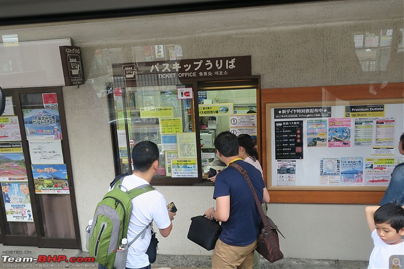 ▼ Image 19: ... to board one of these buses to Kawaguchiko 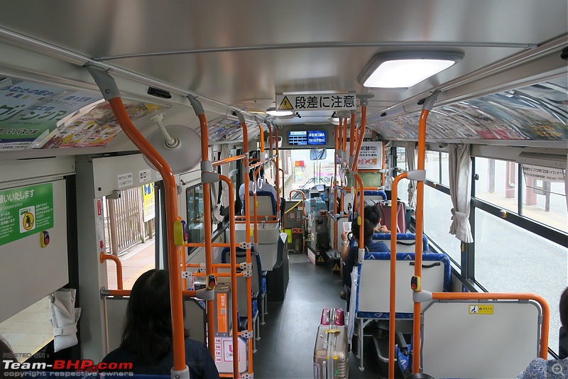 The road from Gotemba to Kawaguchiko is about 35 km and passes through some very scenic conifer-forested low hills as well as the Yamanakako and Kawaguchiko lakes - two of the four lakes that surround Fuji (a lot of tourist traffic is directed to these lakes). My bus was only half full (mostly local schoolchildren) and there were only two other touring families - both headed for lake Kawaguchiko. Progress on the road (as high quality as any other Japanese road) was swift and I reached Kawaguchiko station (last stop) a few minutes before 1900 after about a dozen passenger halts along the way, as well as a toll post. Unfortunately Fuji itself was obscured by clouds (apparently a common phenomenon in this rainy season) and could not be sighted even though it was not even 10 km away (in contrast on clear days it can be seen in Tokyo at an aerial distance of 100km). ▼ Image 20: Gotemba to Kawaguchiko route 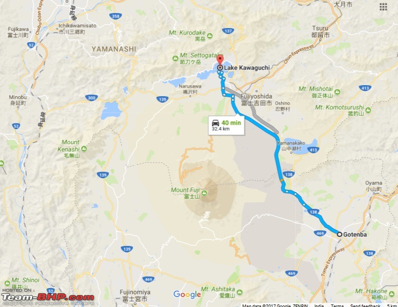 ▼ Image 21: On the road 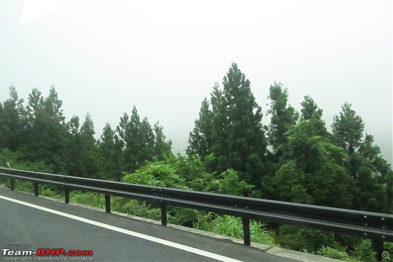 ▼ Image 22: Passing Lake Kawaguchiko 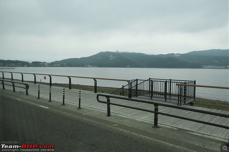 ▼ Image 23: Destination notification. The driver wears a face-mask, a distinctive Japanese trait 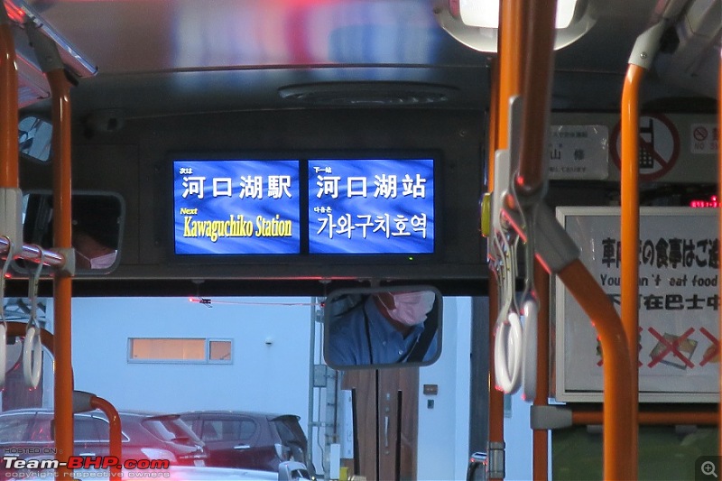 Kawaguchiko station is a hub for tourists and services both slow and fast trains headed to Otsuki and Shinjuku; the main Tokyo-Kyoto line junctions at Shinjuku and for those with a JR Rail pass (• 30,000 for 7 day) the rail option may be a better idea. The station also acts as a point of origin / termination for not only the long distance buses to Tokyo and Kyoto (called ‘Highway buses’) but also the dozen local services to the Yoshida 5th station (called ‘Climbers buses’). There’s also a friendly tourism office which stocks all kinds of free brochures and maps for tourists. ▼ Images 24-25: Kawaguchiko station in the fading light 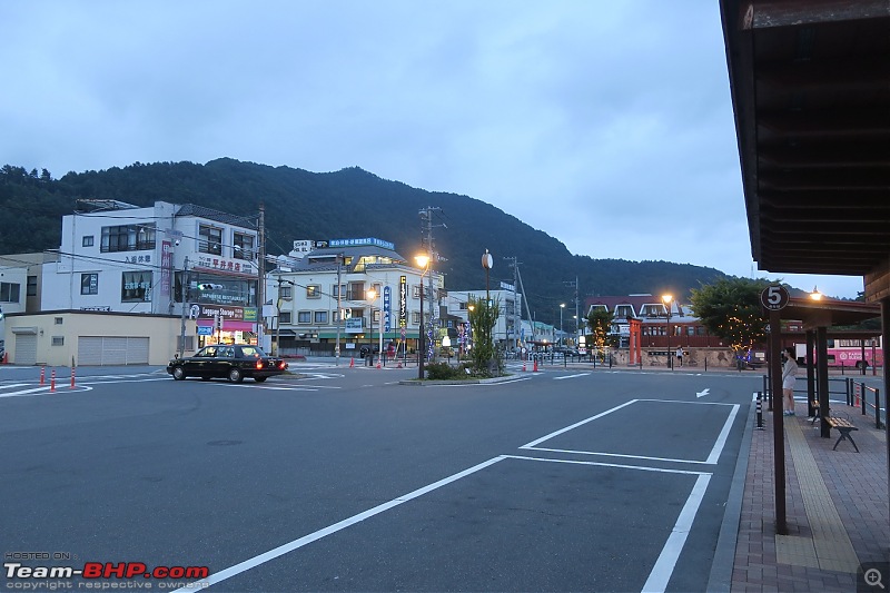 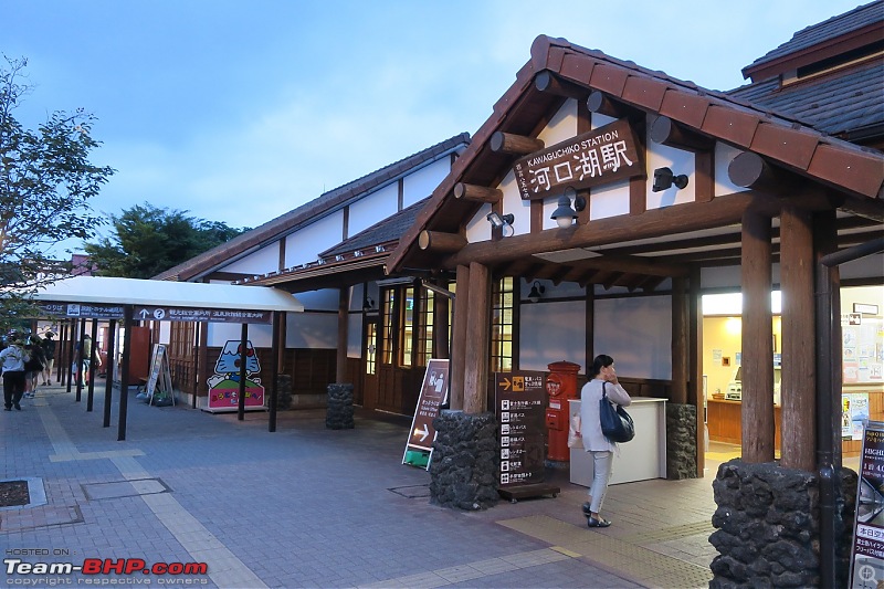 ▼ Image 26: I had to cross the tracks to get to my hostel 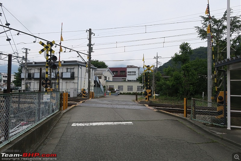 I quickly found my hostel - a three minute walk from the spotlessly clean station and then returned to stock up on food and supplies from a nearby department store (called ‘convenios’ in Japan). These not only quote normal rates for merchandise but also have some limited ready to eat snacks - such as chicken kebabs, pastries, sandwiches and coffee. Back in the hostel I checked the Climbers bus schedule and found that the earliest in the off-season left at 0900. The last return trip from the Yoshida 5th station was at 1630 - a total of 6.50 hours to reach the summit and return. Since that did not seem practical I decided to take my chances hitchhiking back if necessary and walking the 30km back to Kawaguchiko if need be. I put together my kit - a small waterproof Japanese backpack (that looked like it was made for a space mission), self-prepared sandwiches in plastic wrap, protein and energy gel drinks, facemasks for mountain dust, a complete change of upper clothes + socks and one poloneck top for the last stretch. There was also fevikwik (for sole damage to my shoes), gloves, a monkey cap, earbuds, torch, handpowered dynamo and spare eyeglasses. Also about two litres of water and one litre of carrot + orange juice (very important as water is not sold during the off season and even otherwise it is five-ten times more expensive at the mountain shelters). I also carried three different cameras for redundancy. The only item I did not carry was a waterproof poncho as the meteorological forecast did not predict much rain on that particular day and I was obsessed with saving weight. Last edited by Kumar R : 9th October 2017 at 00:35. |
| |  (14)
Thanks (14)
Thanks
|
| The following 14 BHPians Thank Kumar R for this useful post: | .anshuman, 14000rpm, aniket17, BlackPearl, gmhossain, GTO, LoneRidder, pulsar56, Sheel, sparky@home, sukiwa, theexperthand, vb-saan, yosbert |
| | #4 |
| BHPian Join Date: Apr 2014 Location: Account closed
Posts: 315
Thanked: 1,019 Times
| re: Climbing Mount Fuji, Japan IV. Yoshida 5th Station (2,300m): Start of the climb True to schedule I was at Kawaguchiko station on June 27 at 0845 and purchased a • 2,100 return ticket to the Yoshida 5th Station (despite being unlikely to use the return the difference in fare was only • 500). While waiting for the bus I looked around to see if there were any potential climbers who might be heading up - with a view to join forces and get some company for the climb. None of the others (mostly Japanese) seemed dressed for climbing and this somewhat lowered my mood. ▼ Image 26: The motorable route to the Yoshida 5th station  The road to the 5th station runs for about 30km and gains an impressive 1,500m altitude; we reached in little over an hour. The 5th station is the transit point for anyone desiring to climb up Fujisan on the Yoshida trail after reaching by motorised transport. (There is a distinct 5th station for those who walk up from the 1st station - a slight distance away). The layout is a large plaza cut into the hillside with a big parking lot and a bus bay used by plenty of daily buses from both Tokyo and Kawaguchiko as well as private tour operators. There are a number of large department stores selling gear, souvenirs and packaged food and water. The entrance to the climbing trail is literally around the corner and from here it's a 15km hike to the summit and back. Since it is entirely dependent on tourists the station gets deserted rapidly after the last bus leaves and I found it utterly devoid of life at 6-30pm upon my return. Apart from those travelling to climb Fuji the 5th station is also a popular picnic spot for car-borne families who use it as a day outing. ▼ Images 27-28: The 5th station, sometimes referred to as the Fuji-Subaru 5th station to distinguish it from the Yoshida trekking 5th station 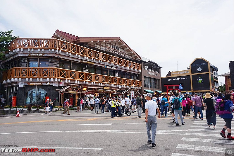 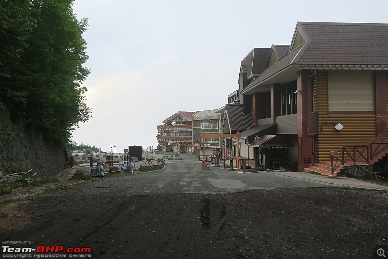 At my time of arrival (1000) the 5th station was teeming with tourists and a hub of activity. The weather was gloomy with fog all around and some very light drizzle (the rainy season of Fuji starts mid-June). Every time the clouds passed and Fuji came into view there was a frenzied volley of flashes and clicks and a near-stampede as everybody scrambled to take pictures. ▼ Image 28: Fuji, as seen from the 5th station, still partially obscured 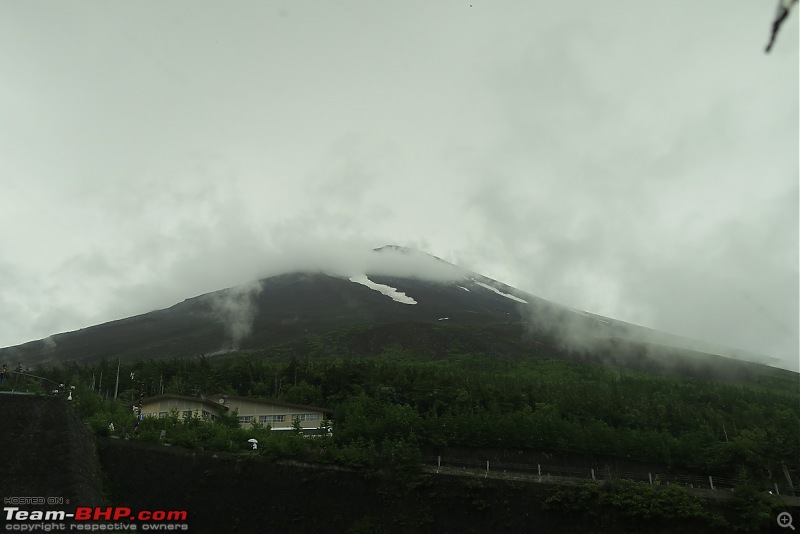 The only thing I did here was buy a four-foot trekking stick (or kongō-zue) - crafted out of softwood with traditional octagonal cross-section and bearing a red cloth grip. Apart from serving as an aid it is possible to collect souvenirs along the Yoshida trail stations by branding distinctive emblems into the wood at each of the higher stations - a permanent record of sorts. This done both I walked to the path leading towards the trail - and was greeted by a large sign stating that the trail was closed till July 01; contrary to what I had assumed there was nobody headed in that direction - not one. I waited around for a few minutes, nervously pushed the plastic barricade aside and went onward. ▼ Image 29: The entrance to the Yoshida climbing trail. 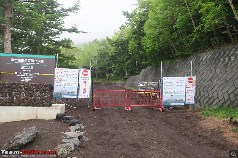 Last edited by Kumar R : 8th October 2017 at 20:42. |
| |  (8)
Thanks (8)
Thanks
|
| The following 8 BHPians Thank Kumar R for this useful post: | 14000rpm, aniket17, gmhossain, GTO, Sheel, theexperthand, vb-saan, yosbert |
| | #5 |
| BHPian Join Date: Apr 2014 Location: Account closed
Posts: 315
Thanked: 1,019 Times
| re: Climbing Mount Fuji, Japan V. Yoshida 6th Station (2,390m): Hiking at the treeline 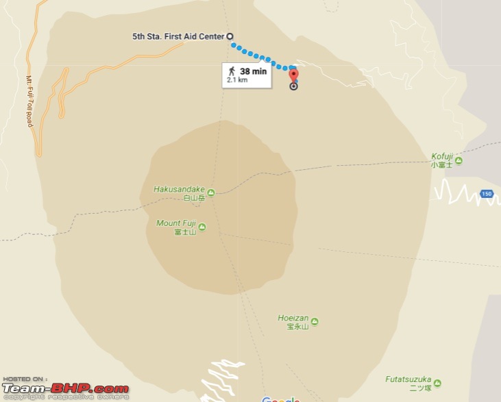 ▲ Image 30: 5th station to 6th station route map From the 5th station to the 6th station the trail gains hardly any elevation and lay too close to the base of the volcano to properly make out its profile; The route is more of a longish walk than a climb - little over 2 km - mostly meandering in an eastward direction around the volcano’s treeline. The path went through some stretches of the Aokigahara Jukai, (or Sea of Trees) a patch of softwood forest on the northern flank of Fuji - an immensely popular suicide destination in Japan. Like the Golden Gate bridge (also infamous for suicides) there are signs entreating would-be suicides to think of their loved ones and call helplines. According to folklore the forest is haunted by the spirits of the dead. Less esoteric but more real risks include wild boar, lancehead vipers and the occasional black bear. The vegetation was beautiful with oak and maple on the lower levels and characteristic Japanese white pine, cypress and fir on the higher parts. At places the fog rolled through the trees creating all manner of mystical sights. In some ways this stretch is deceptively easy with its gradual incline, plenty of shade and many signs. ▼ Images 31-32: The broad initial trail, over a bed of fine volcanic ash 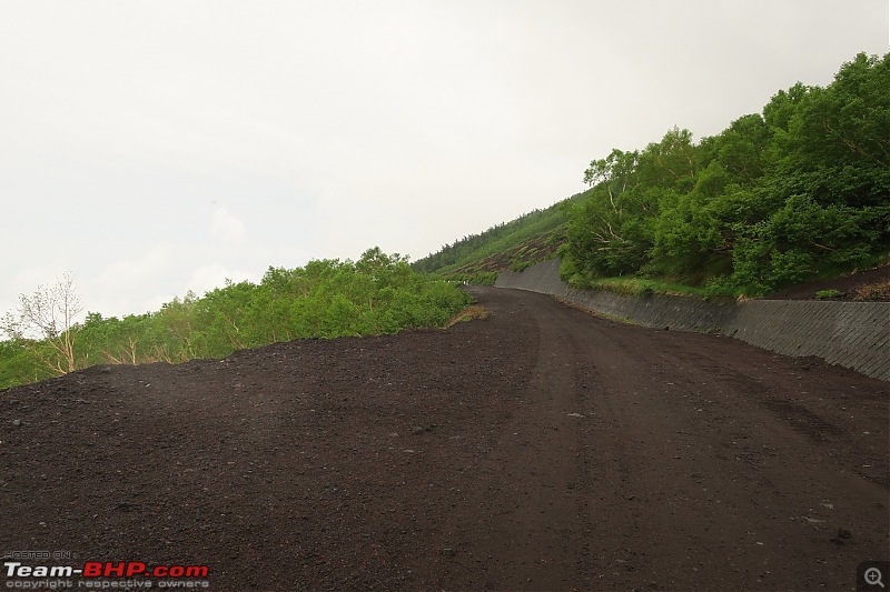 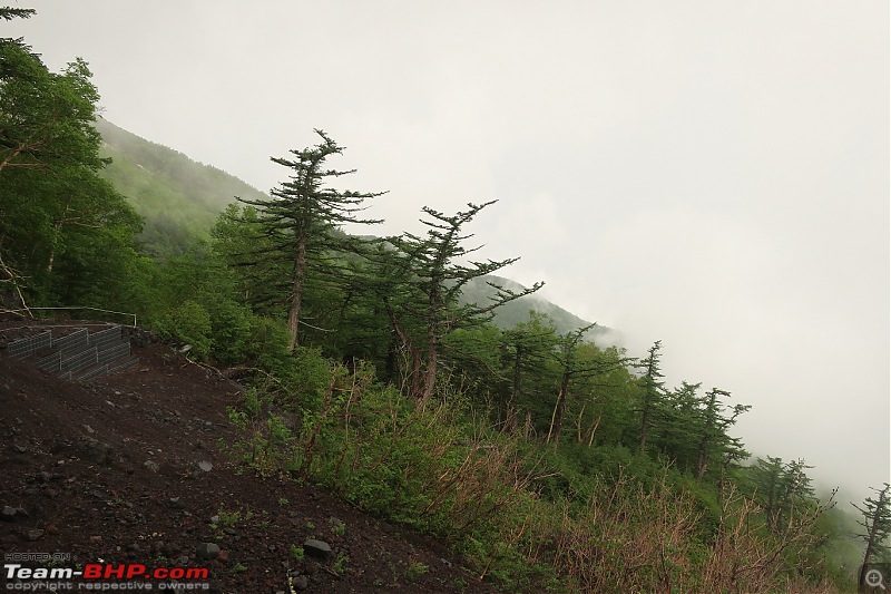 ▼ Images 33-34: Forests along the trail 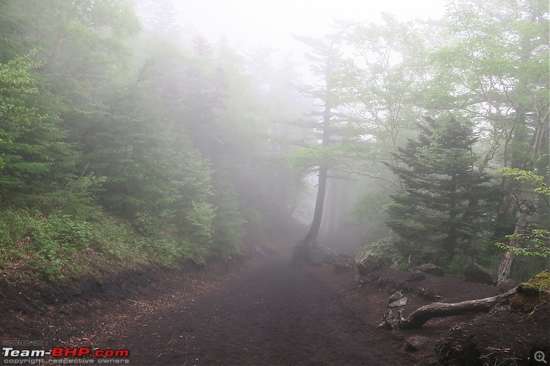 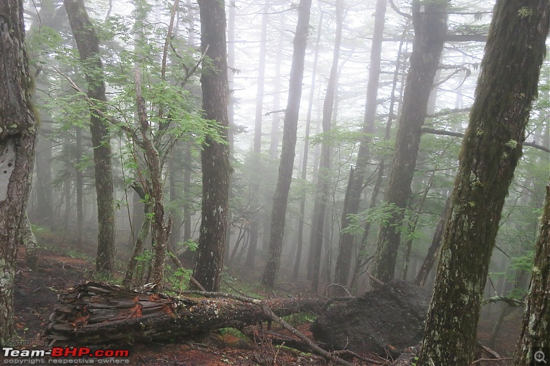 Fortunately the path was quite broad and mostly was flat except for a few cobbled pathways that are good going up but hard on the knees coming down. There were unmistakable signs of recent caterpillar treads - so clearly bulldozers were being used to make the path for the climbing season. At a few places the trail ran through landslide shelters made of concrete (probably necessary as this was Fuji’s steeper slope - that’s why the trail went east to a gentler slope). ▼ Image 35: One of the few landslide shelters 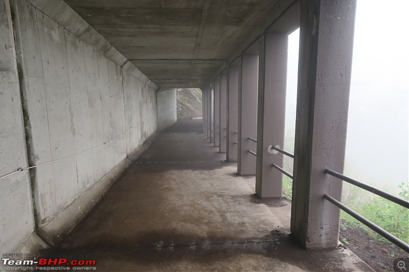 ▼ Image 36: A cobbled stretch 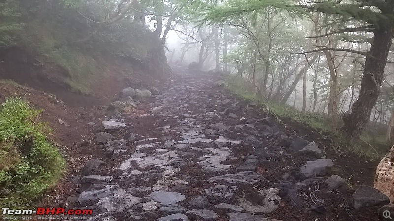 The 6th station itself was a small single-storey structure and was closed when I reached with no human activity. This is also the junction where: (1) the descent trail rejoins the path to the 5th station; and (2) the downward path to the lower stations diverge (for those wishing to trek up/down from the 1st station). Overall a great warmup and one that I completed in 25 minutes at a brisk pace. Last edited by Kumar R : 8th October 2017 at 21:10. |
| |  (13)
Thanks (13)
Thanks
|
| The following 13 BHPians Thank Kumar R for this useful post: | 14000rpm, agspins, BlackPearl, gmhossain, GTO, pulsar56, Sheel, SourabhSuresh, sukiwa, theexperthand, Turbanator, vb-saan, yosbert |
| | #6 |
| BHPian Join Date: Apr 2014 Location: Account closed
Posts: 315
Thanked: 1,019 Times
| re: Climbing Mount Fuji, Japan VI. Yoshida 7th Station (2,700m) 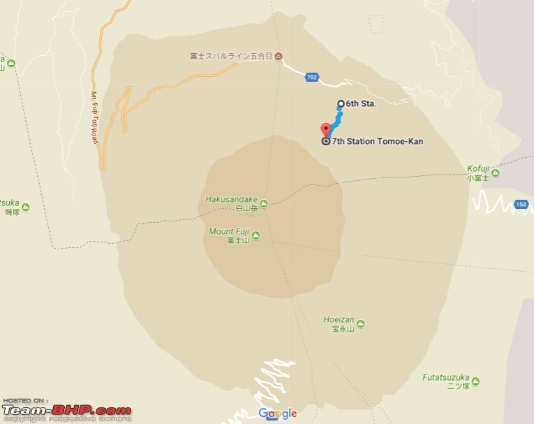 ▲ Image 37: 6th station to 7th station route map It is after the 6th station that the upward trail meaningfully begins, with a series of zig-zags, each about 80m in length (the linear distance reduced by about 0.25 km every two pairs). The soil was fine-grained volcanic basalt crumbs and wooden boards and retaining walls were everywhere to stabilise the surface - making it resemble a giant staircase. The trail crosses the treeline though grass and light vegetation persisted for some time. The fog continued to increase though I was lucky that there was no rain (yet). The loose-grained soil made for a tiring uphill walk and I felt as though I was taking a step back for every three steps forward. These small stones can also get into shoes so high-ankle boots are a good idea. ▼ Images 38-39: The start of the uphill trail 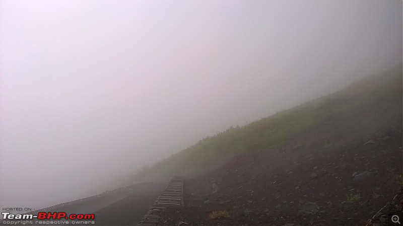 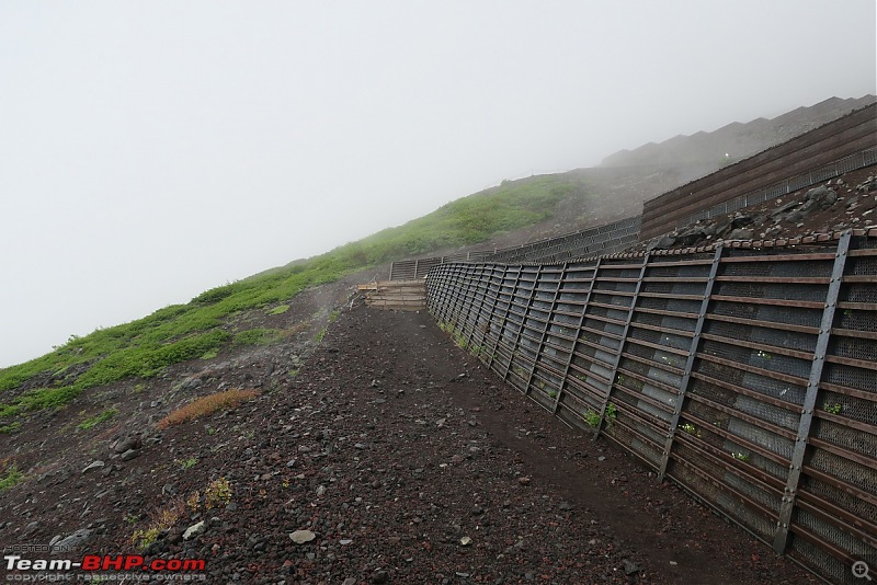 ▼ Image 40: Looking down at the zig-zags 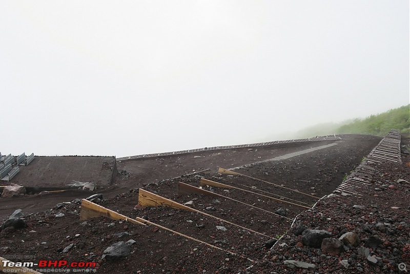 Shortly before the 7th station the trail changed into a scramble over solidified lava flows - with a short stretch upto the platform housing the 7th station huts giving a taste of what lay beyond. I was naÔve then and this change of scenery was a welcome break from the drudgery of the last 30 minutes. I cheerfully bounded over the boulders to the 7th station - which, like its predecessor, was also locked and deserted. ▼ Image 41: The change in terrain shortly before the 7th station 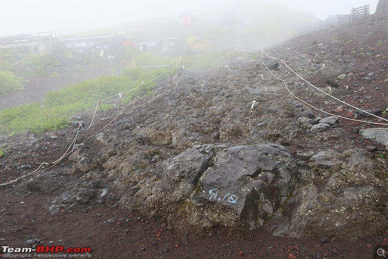 ▼ Image 42: Sign announcing the 7th station 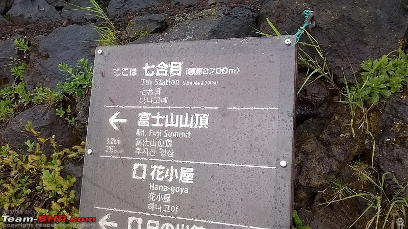 ▼ Image 43: On the 7th station platform 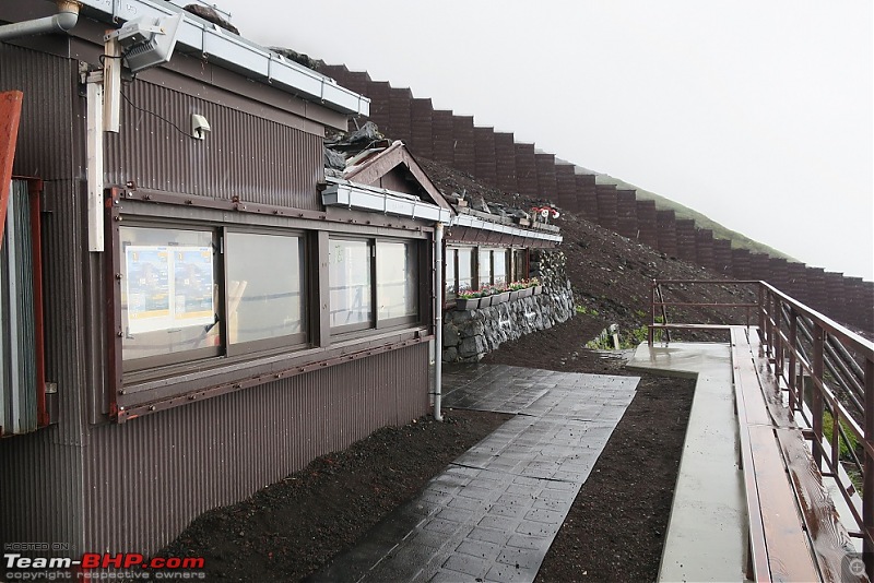 ▼ Image 44: Looking down from the 7th station 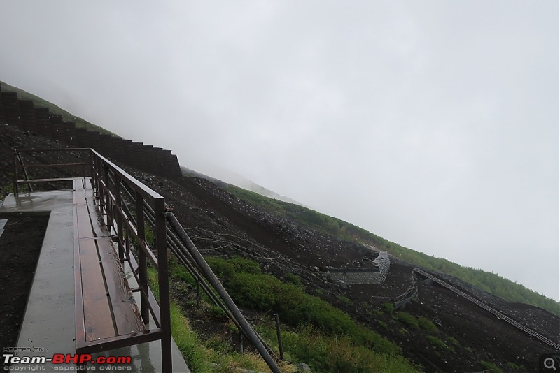 I reached the 7th station at 1105; the 1.4 km linear distance had taken me about 35 minutes. |
| |  (14)
Thanks (14)
Thanks
|
| The following 14 BHPians Thank Kumar R for this useful post: | 14000rpm, aniket17, BlackPearl, gmhossain, GTO, jaunthead, pulsar56, Sheel, SourabhSuresh, sukiwa, theexperthand, Turbanator, vb-saan, yosbert |
| | #7 |
| BHPian Join Date: Apr 2014 Location: Account closed
Posts: 315
Thanked: 1,019 Times
| re: Climbing Mount Fuji, Japan VII. Yoshida 8th Station (3,020m): 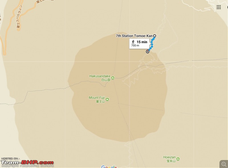 ▲ Image 45: 7th station to 8th station route map The trail from the 7th to the 8th station consisted of about 0.75 km of unending beds of solidified lava flows. Vegetation thinned out till it ceased completely and all around me were vast stretches of barren cooled lava resembling some alien planet from what I can only imagine must have been a large eruption in the past. These lava flows were quite steep at places, often required the use of both hands and notwithstanding all the stories I had heard of old people and kids summiting Fuji it did not seem something that a small child or anyone with trouble walking or stretching could undertake without a great deal of assistance. There was a loose guide rope but no railings and I had to keep looking up constantly to judge the best sequence of jumps. At this point it also started to rain and soon I was quite cold from the water and the winds which were now increasing in speed - with the saving grace that the intense workout of the rock scrambling made up for the drop in temperature. At some point I became concerned at the prospect of having to return this way in fog-covered low-visibility and seriously considered terminating my expedition at the 8th station. It was also on this stretch that I passed park employees for the first time, busy with trail maintenance; they informed me that a separate descent trail existed from the 8th station, further up (a bit of information that considerably improved my mood). ▼ Image 46: Some of the steep lava flows I had to cross 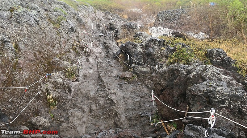 I finally spotted the shrine gate (or Tori) of the 8th station at 1145 and reached the series of structures at 1215 - with another 2.7 km to go to reach the summit. ▼ Image 47: Looking up. The red Tori to the 8th station shrine is visible 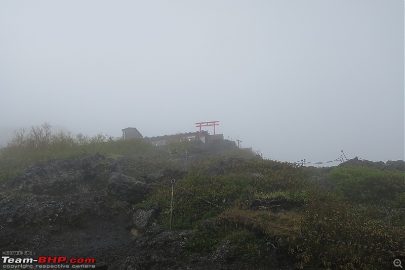 ▼ Image 48: Crossing the Tori 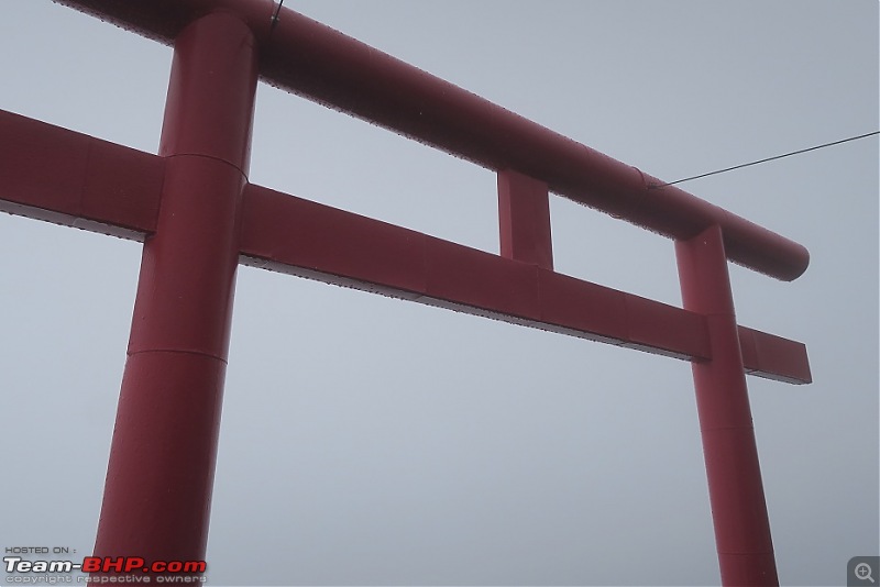 ▼ Image 49: Sign announcing the 8th station 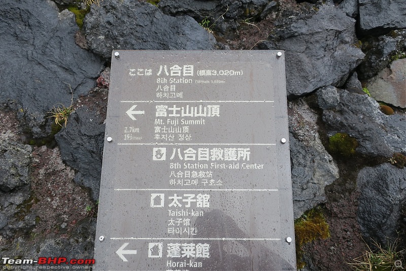 The 8th station was partially functional with a dozen staff members busy fixing bolts, hinges, painting and other maintenance jobs (I also got my trekking stick branded for • 600). I met a friendly American volunteer who chatted with me for ten minutes and took some photos for my benefit. He suggested that the onward route to the summit was easier than what I had just gone through - another bit of welcome news. Meanwhile the fog temporarily cleared and the rain stopped - making for some great views of the clouds below as well as the snow line which had begun at places. ▼ Image 50: Posing for a picture at the 8th station platform 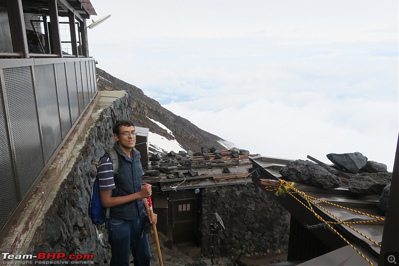 ▼ Image 51: A rare moment of clear sky 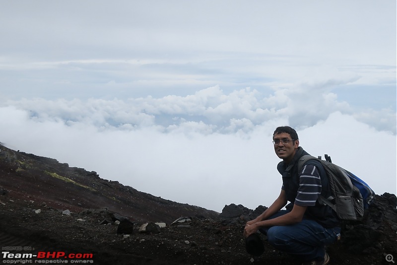 Last edited by Kumar R : 8th October 2017 at 22:09. |
| |  (15)
Thanks (15)
Thanks
|
| The following 15 BHPians Thank Kumar R for this useful post: | 14000rpm, agspins, aniket17, gmhossain, GTO, jaunthead, Lobogris, luvDriving, Night_Fury, Sheel, sukiwa, theexperthand, Turbanator, vb-saan, yosbert |
| | #8 |
| BHPian Join Date: Apr 2014 Location: Account closed
Posts: 315
Thanked: 1,019 Times
| re: Climbing Mount Fuji, Japan VIII. Yoshida 8.5 (or 9th) Station (3,250m) : Crossing the Snowline 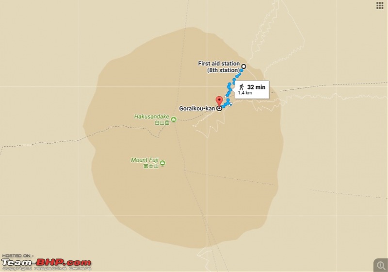 ▲ Image 52: 8th station to 8.5 station route map The 8th station is somewhat large and apart from many cabins is situated on a broad terrace where the rocky lava flows give way to the now-familiar basaltic gravel. This is also a junction where the descent route from the summit (common for the Yoshida and Subashiri trails) meets the Yoshida ascent trail and then diverges once again forming a figure 8. The connector is a flat strip along the cone of Fuji and offers some great views of the surrounding countryside. I debated whether to carry on to the summit. It was about 1300 and the odds of making it back for the last climbers bus to Kawaguchiko (1640) seemed as bleak as the barren mountainside around. I met two seismic technicians kitted in some heavy duty mountainwear who estimated a two hour climb to the summit and assured me that the worst of the lava scrambling was over. My legs were hurting a bit and the prospect of having to walk another 30km at night in case I got no transport on the way back was looming large - But who knew when I would ever get a chance to trek up Fuji in such solitude, if at all? I therefore resolved to carry on to the summit and not let lack of logistics deter me after having come so close. ▼ Image 53: The trail to the 8.5 station commences. To the far left is the connector to the descent trail. 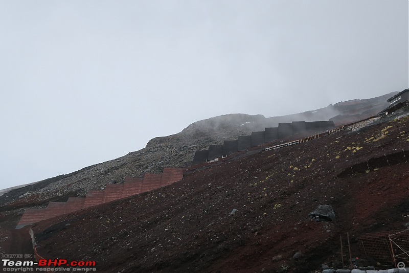 ▼ Image 54: The path is reasonably broad but the mountain side is still very steep. A look down the slope 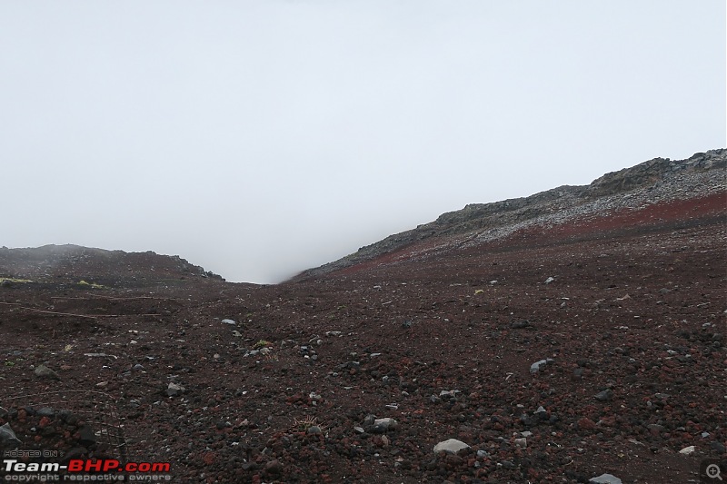 The next station (logically 9th but numbered as 8.5th) is 1.5 km of zig zagging through loose volcanic gravel slopes. The surface of the mountain was uniformly composed of this reddish-brown ash interspaced by solid granite boulders. Overhead the mid-day sun was totally obscured by clouds and cast a pale tubelight-like illumination everywhere. ▼ Image 55: The cloud-obscured sun weakly illuminates the trail 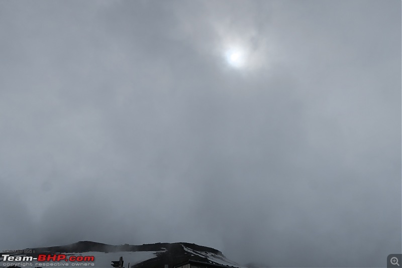 ▼ Images 56-57: The trail crosses into the snowcap 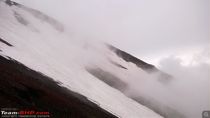 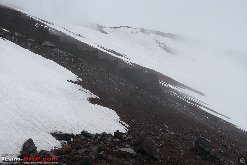 Forty minutes of trekking this monotonous but otherwise tolerable path brought me to the 8.5 station - the highest overnight shelter available in the climbing season (• 7,000 a night for a bunk). The staff were too busy to pay me any attention but permitted me to change on an exposed verandah. There, at 3,250m above sea level, I replaced my rain-and-sweat drenched two layers for a new set including my polo neck woolen top, gloves and cap - and ate a few energy bars. It was also cool to look down and see the flashes and barrage of thunderclaps from the clouds below. ▼ Image 58: Reaching the 8.5 station 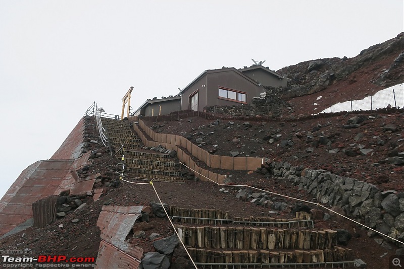 ▼ Image 59: Signboard on the platform 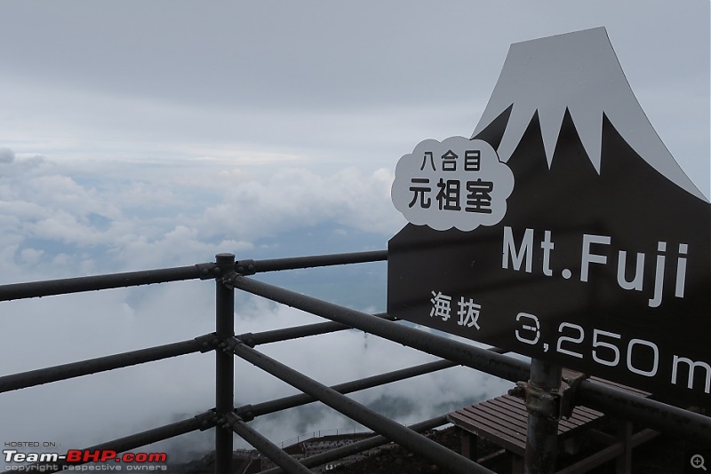 ▼ Image 60: After a change of clothes at the 8.5 station 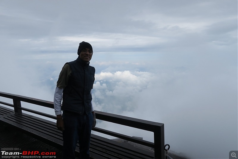 After a twenty minute break I resumed the final 1 km hike to the summit at 1430. Last edited by Kumar R : 8th October 2017 at 22:55. |
| |  (14)
Thanks (14)
Thanks
|
| The following 14 BHPians Thank Kumar R for this useful post: | 14000rpm, aniket17, BlackPearl, dZired, gmhossain, GTO, Lobogris, rajesh1868, Sheel, sukiwa, theexperthand, Turbanator, vb-saan, yosbert |
| | #9 |
| BHPian Join Date: Apr 2014 Location: Account closed
Posts: 315
Thanked: 1,019 Times
| re: Climbing Mount Fuji, Japan IX. Fuji summit (3,773 / 3,756 m) 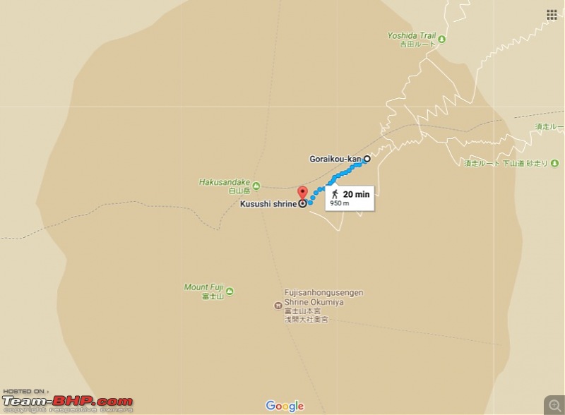 ▲ Image 61: 8.5 station to Fuji Summit route map The trail was now well past the snowline and the park officials had used a bulldozer to clear a narrow path through the snowcap that was 5-10 foot high at places. Nonetheless there were chunks of loose snow that had crumbled away; there were also rivulets and streams of water running down, due to not only the melting of the snow caps as the summer heated things up but also the salt sprinkled on the edges. These water streams and puddles were a major nuisance and the trekking stick came in very handy at skipping. ▼ Image 62: The trail to the summit commences 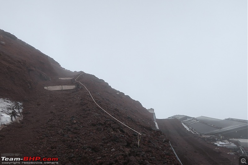 Far away to the top I spotted the first of the two Tori gates that I would cross before reaching the summit. Like others before me I placed a • 100 coin as an offering to the gods and for safe passage. There was dense fog all around and the dark colour of the soil aided in keeping to the path. ▼ Image 63: The Tori to the penultimate shrine can be seen far to the top 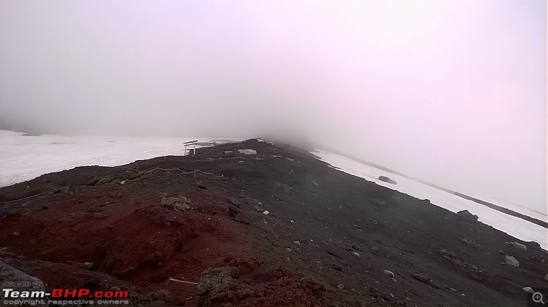 ▼ Images 64-65: A small offering at the Tori 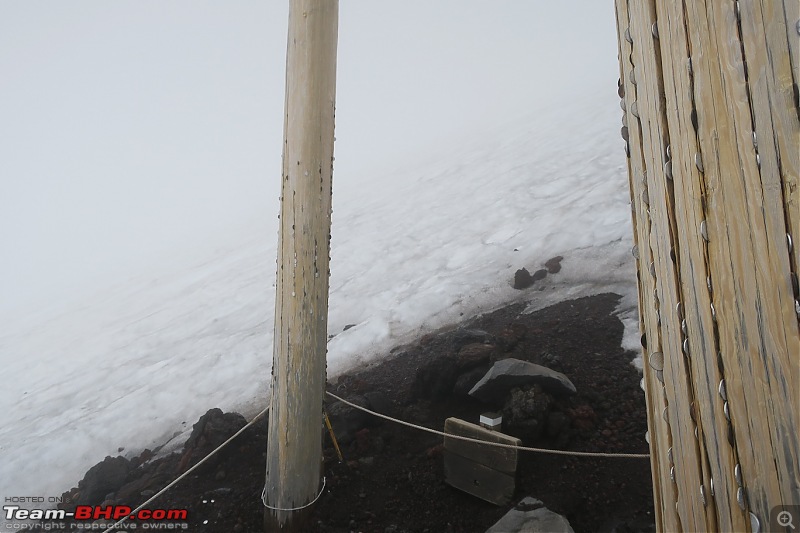 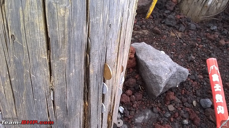 This remaining stretch (about 1.0 km) transitioned back to solidified lava flows (some very steep) so it was tiring. At least the scrambling near the 7th station was at a warmer temperature and with better visibility. Here it was dark, damp and cold with some shielding provided from the wind by the snow cap through which my trail lay. ▼ Images 66-67: Through the snowcap 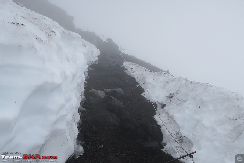 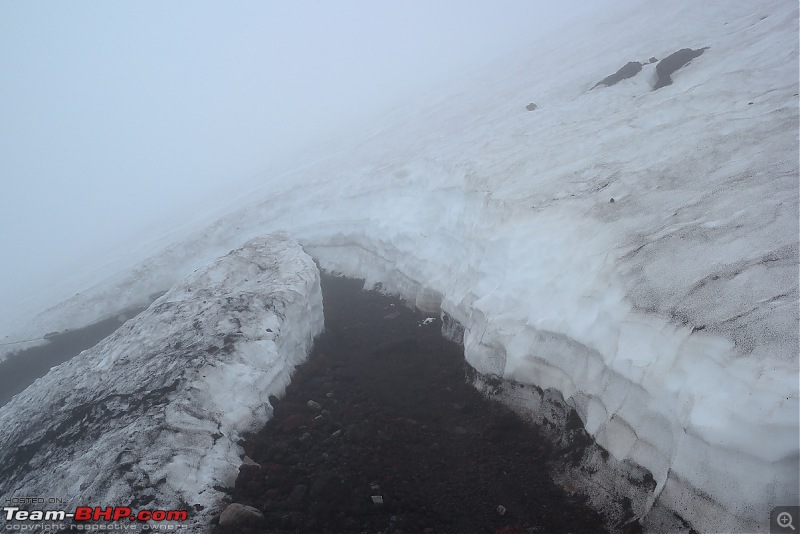 Finally I saw the pair of stone guard dogs beside the last Tori that legend says protects Fuji by sending down wind, rain and thunder. I suppose they felt a harmless bengali posed no danger and did not trouble me as I walked through the tori and entered the courtyard of the Kusushi shrine. This was the summit - technically on the rim of Fuji’s giant crater - 0.50 km in diameter and 250m deep. ▼ Image 68: The lion guardians of the Kusushi shrine 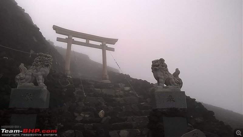 ▼ Image 69: Kusushi shrine facade 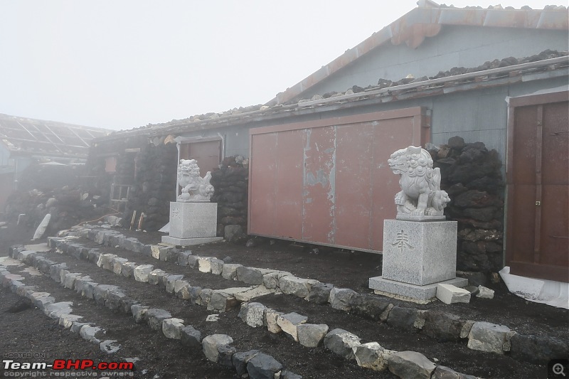 The top of Fuji is marked by an obelisk. It was extremely windy and I was momentarily fearful of being being blown into the crater - a horrible prospect given the skeletal staff. It was also very cold (later I found the recorded temperature as -6 deg C). ▼ Image 70: Map of the crater 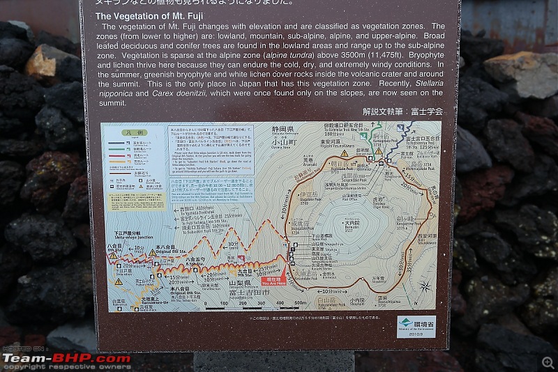 ▼ Image 71: Obelisk of the summit (taken just before descent) 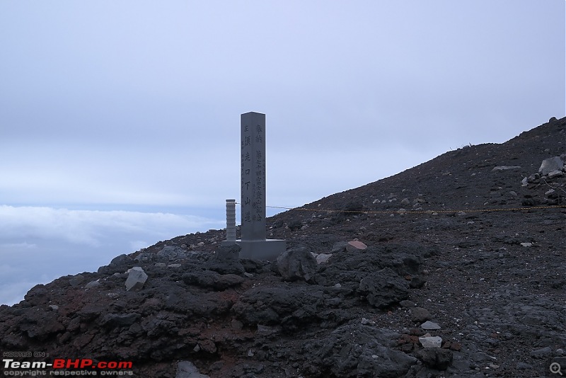 Unlike the stereotyped kung fu movies there was no white-bearded zen master performing calisthenics at the summit; instead I found a few employees inside the long row of maintenance huts busy playing pokemon on their phones (telecom signal is available at the stations though I was not carrying a mobile). They were cheerful enough and offered me tea. I walked around the immediate surrounding area, upto the crater rim and cautiously proceeded counterclockwise to the Hakusandake peak (3,756m). The highest peak - Kengamine (3,773m) was on the other side of the crater and the trail was very narrow and not yet fully marked (the crater trail opens on July 10). It was hard to tell if any depression ahead was the trail, the crater or the edge of the volcano. I was having trouble with the wind and visibility was effectively zero and after slowly walking on all fours for a bit decided it was too dangerous to proceed further and returned to the cluster of huts. Inside one of those was a post box and I spent ten minutes writing out a post card and making sure it was posted (the Fuji post office is on the other side of the crater, also on the summit). Outside the weather changed rapidly and for a few minutes the clouds lifted to allow a good view of the crater. ▼ Images 72-73: Obscured view of the crater (upon arrival) 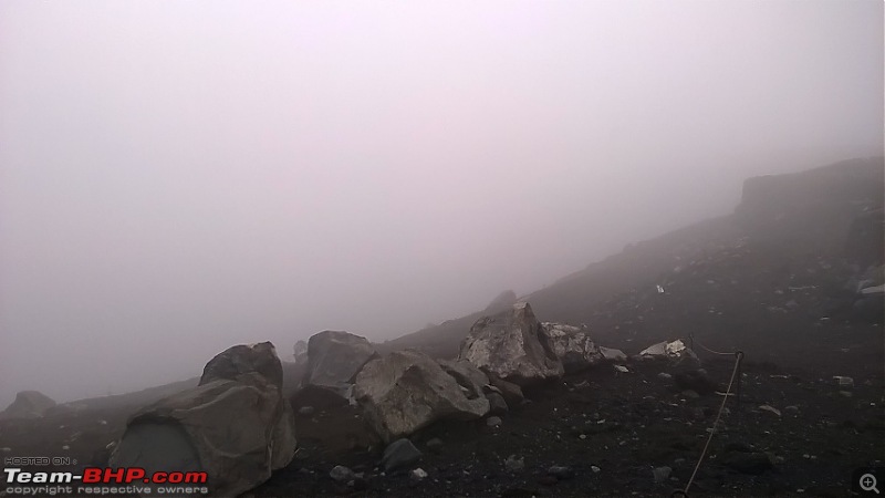 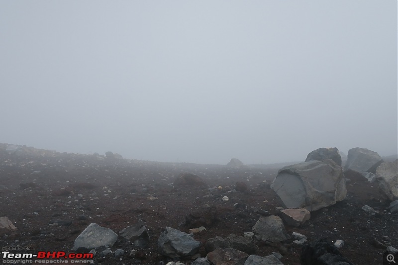 Video #2: Looking around the summit ▼ Images 74-75: Clear views of the crater (just before descent) 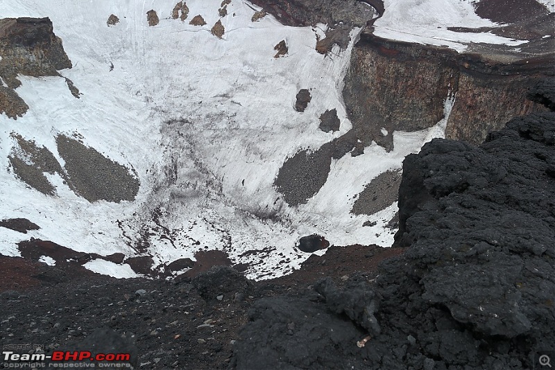 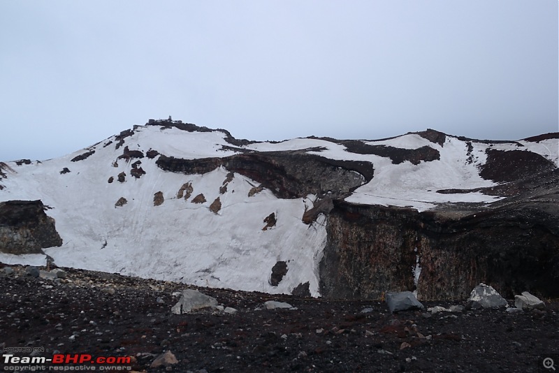 ▼ Images 76-79: Views from the summit 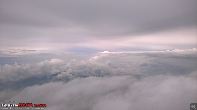 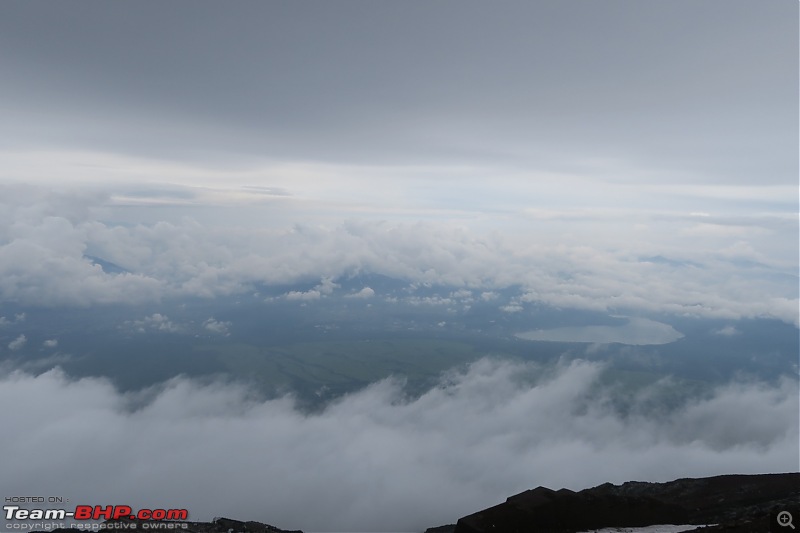 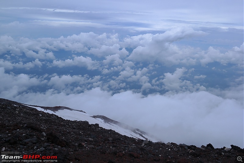 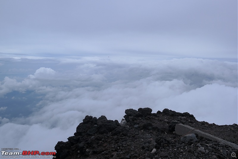 ▼ Image 80: At the summit, trying to appear philosophical 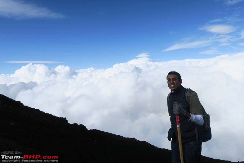 It was now nearly 1545 - the 1,500m ascent had taken me 5.30 hours. I decided to make the most of my good fortune and head back. Last edited by Kumar R : 9th October 2017 at 00:36. |
| |  (21)
Thanks (21)
Thanks
|
| The following 21 BHPians Thank Kumar R for this useful post: | 14000rpm, agspins, ajay0612, aniket17, asingh1977, blahman, dZired, gmhossain, GTO, iVento, LoneRidder, Night_Fury, pulsar56, rajesh1868, Sheel, SourabhSuresh, sukiwa, tharian, theexperthand, vb-saan, yosbert |
| | #10 |
| BHPian Join Date: Apr 2014 Location: Account closed
Posts: 315
Thanked: 1,019 Times
| re: Climbing Mount Fuji, Japan X. The Descent 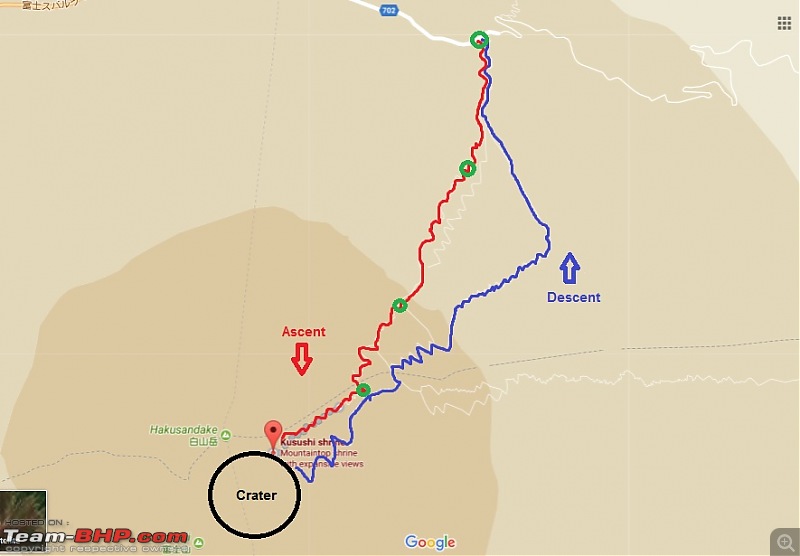 ▲ Image 81: Descent route map My return from the summit made use of the dedicated descent route for the Yoshida + Subshiri trails. This consisted of an endless series of zig zags (~90) down a path cleared by a bulldozer out of volcanic ash. The tread marks were visible and unbroken so nobody else had gone downhill that way recently. Upto about 3,000m the path was through the 3-4 metre high snow cap, thereafter it was utterly barren till I reached 2,600m from where the vegetation started. The descent trail was clearly designed to facilitate rapid downhill movement - to that end it was steep, sandy and free of stations (just two restrooms). While I have grateful at not having to scramble down rocks the momentum of my downward jog nearly led to a slippage once. Beside this I had to clean out the small stones that kept finding their way into my shoes. The stick was very handy once again. ▼ Images 82-84: The downward trail 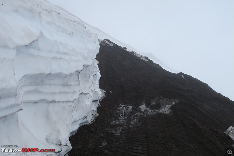 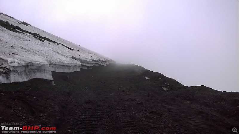 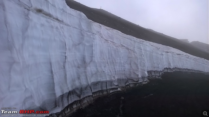 Video #3: Walking down through the snow cap ▼ Image 85: The trail just after the snowcap 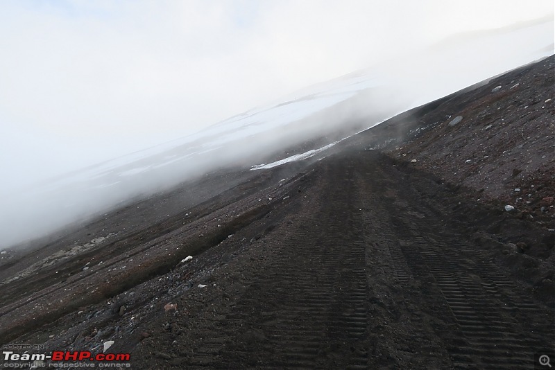 The first part of the descent rejoins the ascent trail briefly at the 8th station before diverging again and rejoining at the 6th station. The initial stretch is sometimes closed due to avalanches and is the last part of the trail to be cleared before the climbing season (so I was lucky). These zig-zag downhill stretches were easy on the knees because of the yielding ash soil but hard to get a steady grip and the prospect of an ankle twist was very real. The edges of the zig-zag pathways were also sometimes not clear and in the dense fog I had to be careful not to let my downhill momentum led to a fall. ▼ Image 86: Sign at the 8th station informing divergence of Subashiri and Yoshida descent trails. 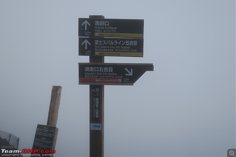 At 3,000 m I celebrated the end of the snow caps by taking a break and eating a delicious salami sandwich - I then loitered a bit, sang a few old songs, shot a video and tried my hand at some pathetic selfies before it struck me that it was past 1700. Being on Fuji's eastern slope dusk would arrive sooner and the prospect of making my way down those paths in darkness (or worse having to spend a miserable lonely night on the mountain surrounded by bears and spirits and what-not) forced me to pause the festivities and resume. The increasingly loud wind contributed to my decision. ▼ Image 87: Sandwich break at 3,000m 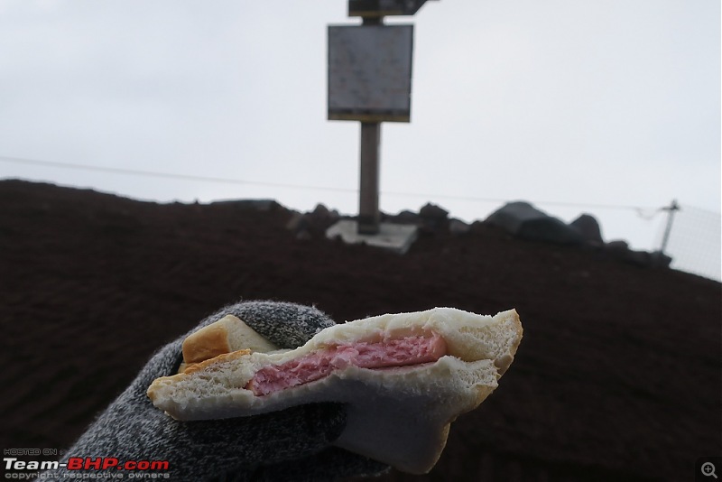 Video #4: A panorama of the descent trail at 3,000m As with the ascent there was not a single other climber and every bit of the way was in solitude. At least the ascent was punctuated by the various stations and staff - the descent route bypassed the stations and except for two locked restrooms was clear of any structure. Just endless walls of reddish-brown dust. ▼ Images 88-91: Downhill past the snowline 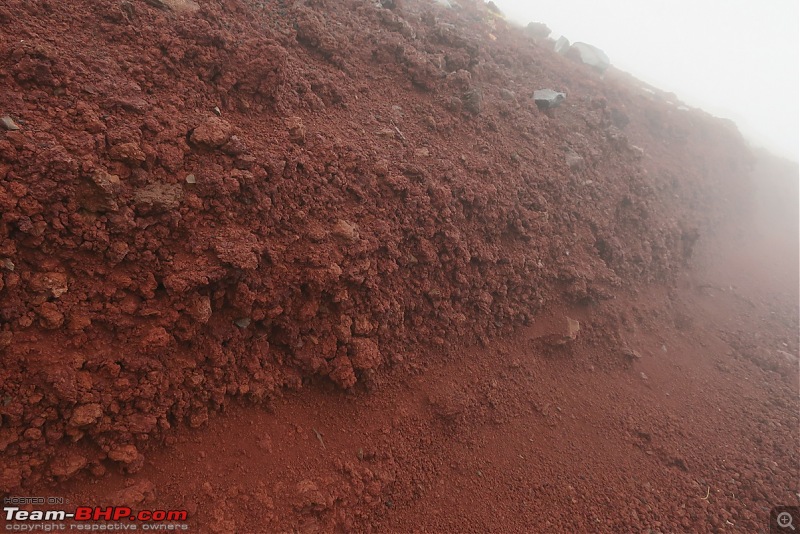 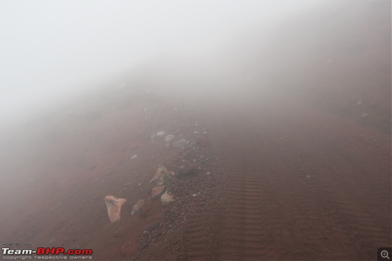 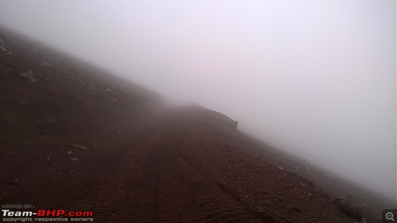 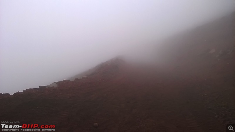 The reduction in sunlight and the reappearance of fog reduced visibility significantly (about 15-20m) - as the next video demonstrates. Video #5: The descent trail in low visibility (approx. 2,800m) After the treeline the route rejoined the ascent trail near the 6th station though the many diverging paths had me confused for a while and I had to use the GPS trail to make certain I was on the right way. ▼ Image 92: One of the few (locked) restrooms on the way. During the climbing season these charge • 200 for use  ▼ Images 93-94: Descending near the 6th station. The sight of the vegetation was very welcome 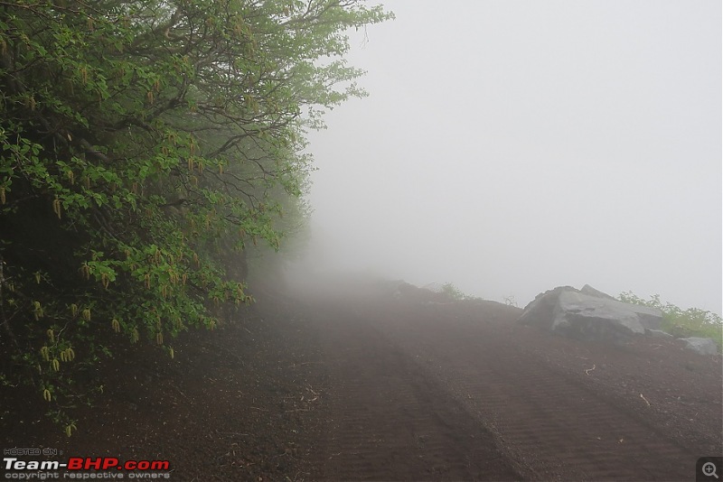  After reaching the 6th station I enjoyed a moment of respite chatting with two staff members engaged in painting of signs; they assisted me in some photographs after which I walked the long flat stretch back to the 5th station. ▼ Image 95: Posing at the 6th station. Any resemblance to Gandhiji is purely a coincidence  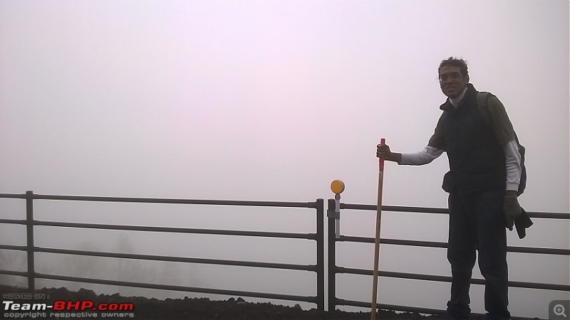 ▼ Images 96-98: The last stretch 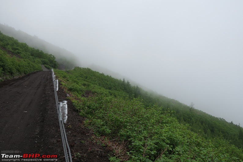 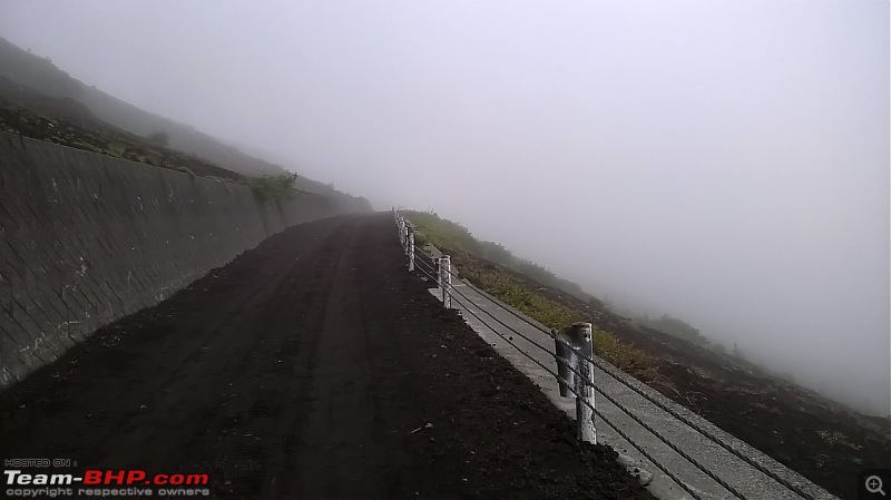 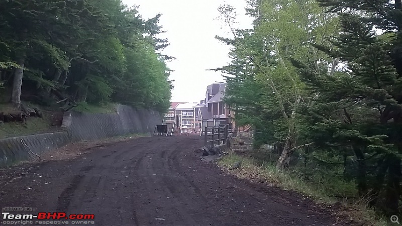 The descent had taken me almost 3 hours and at 1830 the 5th station was utterly deserted, all shops closed with no vehicles or people around. I met two policemen searching for a lost child and who assured me of a lift in their car but only when their shift ended at 2000. I took in the magnificent sunset and was wondering whether to start walking back to Kawaguchiko when miraculously I saw a young Japanese couple getting back to their car and about to leave. Frantically waving I quickly got their attention and despite not speaking English they readily agreed to give me a lift to Kawaguchiko. I gratefully plonked down on the rear seat of their boxy (but very technically advanced) Suzuki and enjoyed the comfort of whizzing back to Kawaguchiko in time for a good dinner and rest. ▼ Image 99: At the now-deserted 5th station plaza 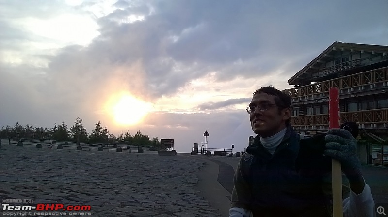 ▼ Image 100: View of the sunset from the 5th station 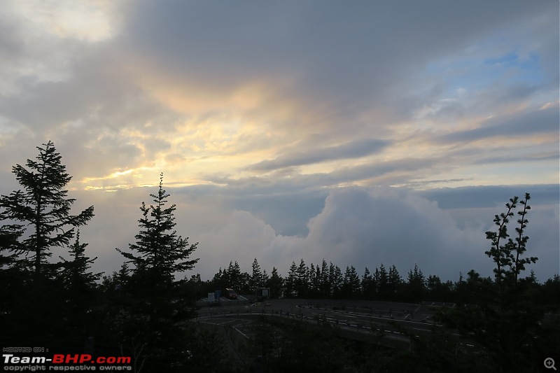 ▼ Image 101: My lift back to Kawaguchiko 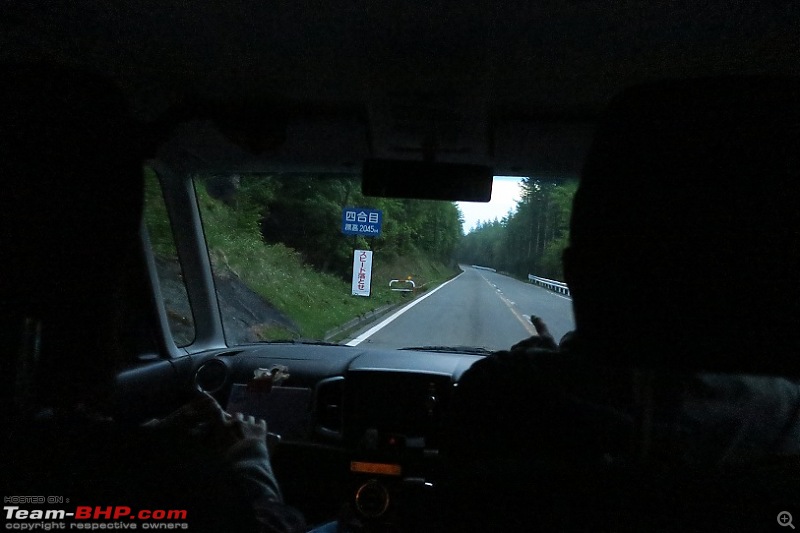 ▼ Image 102: At Kawaguchiko, with my benefactor 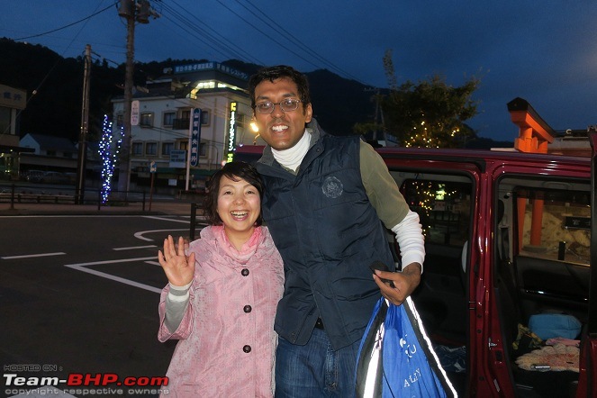 Back at Kawaguchiko I had a nice hot shower, some drinks and some delicious instant noodles - for all the exertion I had not suffered from altitude problems or any physical injury except for bloodclots in two of my toenails. ▼ Image 103: Back in my hostel! 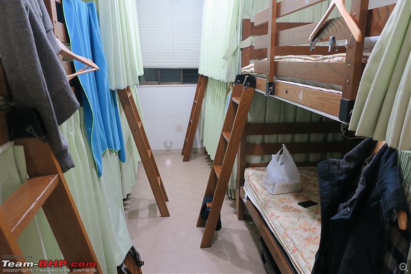 At Kawaguchiko station the next morning it was fun to brandish the trekking stick before the new arrivals, many of whom were likely to be queuing up for the climb in two days. I caught my bus to Tokyo at 1130, arriving two hours later. Plagued by muscle pain I hobbled around the subways till I reached my hotel, sparking many curious questions from fellow travelers about my trekking stick. At the airport Cathay Pacific staff respectfully packaged the stick in a secure cardboard box. I was hoping the customs officers at Kolkata airport would nose around but at 0130 when I arrived nobody seemed interested. ▼ Image 104: Kawaguchiko station in the morning, waiting for my bus to Tokyo. 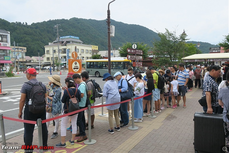 Last edited by benbsb29 : 9th October 2017 at 07:23. Reason: Edited as per Rule#11. |
| |  (24)
Thanks (24)
Thanks
|
| The following 24 BHPians Thank Kumar R for this useful post: | 14000rpm, ajay0612, ampere, aniket17, avingodb, dZired, gmhossain, GTO, Lobogris, matchvan, mpksuhas, mrbaddy, pulsar56, rajesh1868, Sheel, SourabhSuresh, sparky@home, sukiwa, tharian, theexperthand, Turbanator, v12, vb-saan, yosbert |
| | #11 |
| BHPian Join Date: Apr 2014 Location: Account closed
Posts: 315
Thanked: 1,019 Times
| re: Climbing Mount Fuji, Japan Looking back I'm very happy the trek went (mostly) according to plan. In terms of timing I spent 8.50 hours to the top and back, of which at least 1.50 hours went in all kinds of breaks. Another 0.50 hours was lost in photography. I estimate the climb (on the Yoshida trail) can be completed in 6 hours if physically fit, perhaps even less. Nor is the climb especially expensive unless you stay overnight in one of the stations. My entire cost for this venture was • 16,000 (Rs. 9,300) including boarding for two nights, food, travel to and from Kawaguchiko and souvenirs. Fuji is a star attraction in Japan and the effort spent on safety, signage and directions by the authorities is unprecedented - possibly the safest mountain to trek in the world. That said I recommend children below 15 and old people not attempt this hike. Even with all the safety features an accident can still happen. Japan is perhaps the safest country in the world and that helped hugely. The high degree of development there also meant I had information about logistics, routes, travel and weather with a great accuracy. My planning for the trek was satisfactory. The change of clothes had come in very handy though a waterproof poncho would have been useful. The trekking stick, now an inch shorter, proved to be very helpful. The water quantity was more than adequate - I consumed 1.75L out of 3L of liquids. Everywhere within my backpack condensation due to the cold created damp patches that soaked my money, papers and other stuff (luckily the passport was ok). One bit of good luck was getting a lift back from the 5th station - I can't imagine walking 30 km after the descent would have been very pleasant. An annoying problem I faced was the lack of GPS. Instead of a detailed map, all I had was this: 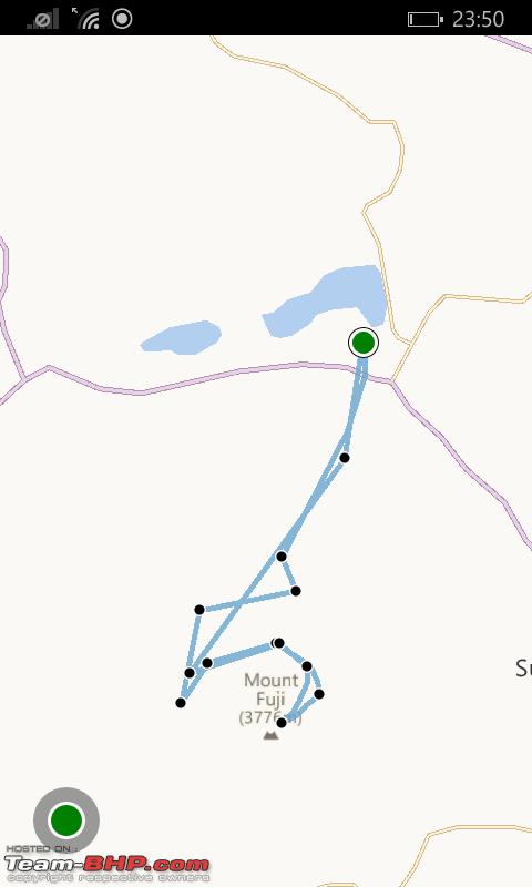 Nonetheless even this crude point-mapping helped avoid some confusing turns in the last stages of the descent. The difficulty of the hike was a bit more than my perception (formed from mostly internet research). Some of the stretches (especially the lava rocks between the 7th and 8th stations, also the initial descent trail) were genuinely exhausting and also a bit dangerous -and gave me a few moments of panic. At more than one place I kept going by sheer mental power and looking back I'm pleased at not giving up after the exhausting climb upto the 8th station. The summit was colder and much more windy than I thought it would be - standing near the edges of the crater was risky in that wind. One mistake I had made was in assuming there would be other climbers around - there were none - the entire ascent and descent was solitary and I probably was the only one to climb Fuji on that day for recreation. On the plus side this was a unique experience that would be impossible to undertake in the climbing months when there's literally a traffic jam of climbers at the upper portions of the trail. There’s supposedly a Japanese folk saying in the context of climbing Fuji: "A wise man climbs Fuji once. Only a fool does it twice." I intend to follow this if and when I visit Japan again.  Till then I have my trekking stick and this postmark of the Fuji Sancho Post Office (on the postcard I posted at the summit) to remind me of this adventure. Till then I have my trekking stick and this postmark of the Fuji Sancho Post Office (on the postcard I posted at the summit) to remind me of this adventure.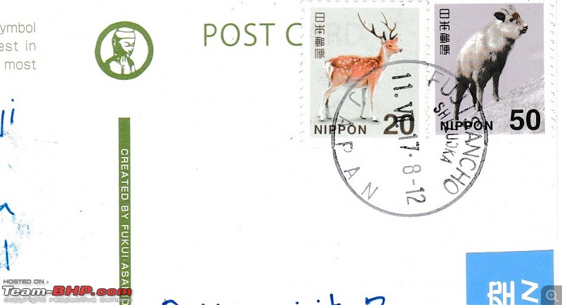 Last edited by Kumar R : 9th October 2017 at 05:10. |
| |  (31)
Thanks (31)
Thanks
|
| The following 31 BHPians Thank Kumar R for this useful post: | akbaree, ampere, aniket17, asingh1977, BlackPearl, blahman, BoneCollector, dZired, Gannu_1, gmhossain, GTO, isandy, jaunthead, jayakumarkp, Lobogris, LoneRidder, mallumowgli, mpksuhas, rajesh1868, roshithr, shashanka, Sheel, SourabhSuresh, sparky@home, spikester, sukiwa, tharian, Turbanator, v12, vb-saan, yosbert |
| |
| | #12 |
| Team-BHP Support  | re: Climbing Mount Fuji, Japan Thread moved from the Assembly Line to Travelogues. Thanks for sharing! |
| |  (3)
Thanks (3)
Thanks
|
| The following 3 BHPians Thank Aditya for this useful post: | GTO, Kumar R, luvDriving |
| | #13 | |
| Senior - BHPian | re: Climbing Mount Fuji, Japan Quote:
Shashanka | |
| |  (1)
Thanks (1)
Thanks
|
| The following BHPian Thanks shashanka for this useful post: | Kumar R |
| | #14 |
| BHPian Join Date: Oct 2013 Location: Kolkata
Posts: 44
Thanked: 20 Times
| Re: Climbing Mount Fuji, Japan Amazingly detailed write-up. Congrats on your Completion of the trek. Your photos reminded me of my Japan Visit. Hoping to go back someday. |
| |  (1)
Thanks (1)
Thanks
|
| The following BHPian Thanks aak91 for this useful post: | Kumar R |
| | #15 |
| Senior - BHPian Join Date: Sep 2017 Location: Anand(GJ23)
Posts: 1,574
Thanked: 5,964 Times
| Re: Climbing Mount Fuji, Japan Dear Kumar R. After Machu Picchu-Peru, thanks for one more amazing travelogue on Mt Fuji, Japan. First, I ignored "Climbing Mount Fuji, Japan" thread, but then I realized that it's written by you. I opened it in my cell-phone (I like to read travelogues in cell-phone) and read it. My next read will be your other travelogue "Driving to Laguna Quilotoa (Ecuador)". Thanks once again for taking us to these off beat places. Last edited by GTO : 10th October 2017 at 09:46. Reason: Language |
| |  (2)
Thanks (2)
Thanks
 |
| The following 2 BHPians Thank SJM1214 for this useful post: | Kumar R, SourabhSuresh |
 |


