After a lot of discussions, whatapps, phone calls with my trip mates, finally we shortlisted below places for road trip.
1) MM hills
2) Bisle Forest
3) Adima and Anthargange.
We planned for day outing and all of us were extremely delighted as we go by bike after longtime ,Initially we decided to go MM hills or Bisle but due to some unavoidable issue we ended up with Adima trip.
We were 7 men crew all set for ride.
Nithin,
Girish,
Mahesh ,
Thilak ,
Avinash,
Teju and
Karthik (That’s me !)
Bikes:
Yamaha R15
Bajaj Pulsar 150
Yamaha RX 100
Honda CBR
Karizma R
Here we go..

All of us are IT professionals and as per the plan, we reached KR Puram bridge (Confluence point) 6.30AM but the planned time to reach was 5.30AM.
We left Bangalore around 6.45AM and had a relax drive. Initially Thilak ripped faster for some distance but we were going like bike rally held for some election voting purpose, taking lot of photos, selfie’s on highway since we were aware that it’s a short trip. later Thilak was tuned to our pace

.
Route taken to Kolar (NH4) : Bangalore - Hoskote - Kolar
Distance : 70kms
We reached Kolar at 8.30AM and had breakfast in Sri Shanthi Sagar, NH 4, Kondaranahalli, Kolar. A typical south Indian Tiffin house offering lots of quick eating options. The dosa wasn’t great and service was also bit tardy.

After breakfast we decided to visited Anthargange.
Route Map to Antargange:

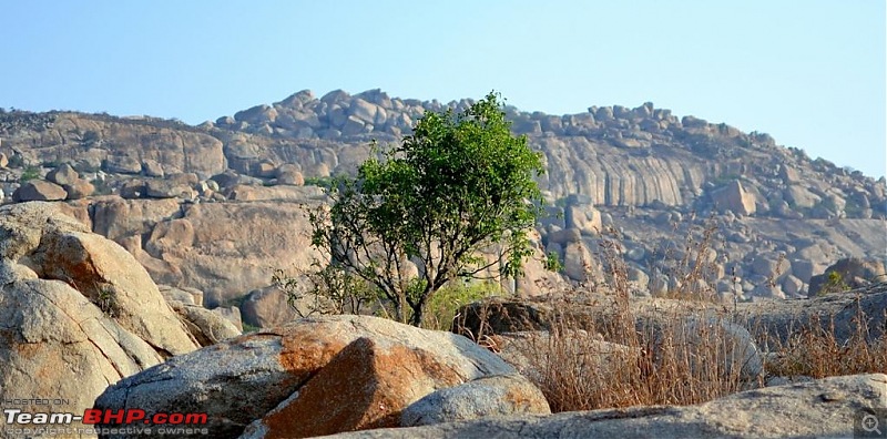
The hill range of Anthargange is situated nestled in the Shathashrunga range in the Kolar district of Karnataka and contains huge volcanic rocks and boulders.

Hilly terrains on the way.

The hill has a dense plantation forest at its base and is covered by thorny shrubs. Usually people visit Anthargange for trekking ,Rock climbing and cave exploring. The trek covers an area of around 4 kilometers ,takes around three hours but we could visit only temple due to time constraints. It's better to have either a guide who knows the path from entrance to exit, or someone who has visited the place before. Otherwise, you could end up on a giant boulder with nowhere to go further, and going back is not an option you could choose, if you've landed there after a few jumps!
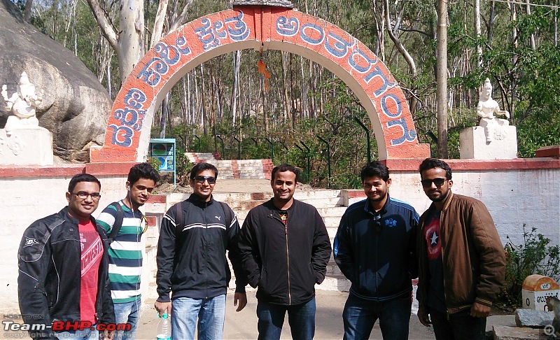
Anthargange main entrance

There are 200+ steps to reach the temple

View of temple,there is a pond which gets a continuous flow of underground water from the mouth of a Basava (stone bull)

We came back to parking lot around 12pm and headed towards ADIMA.
Route Map to Antargange:

ADIMA is also located in “Shatha Shrunga Parvatha” and it is cultural organization which promotes art and culture. Hunnime Haadu, Chukki Mela and Gaddige Gaurava are some initiatives undertaken at Adima. On every full moon night, an ensemble of music, dance and drama is organized by the school unfolds in a natural setting under the star studded sky.
There are 7 villages on this mountain range and the men, women and children of villages witness various cultural feasts.
Reaching ADIMA on hilly road


On the way,ruined temple

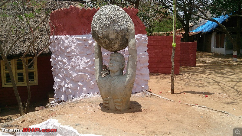
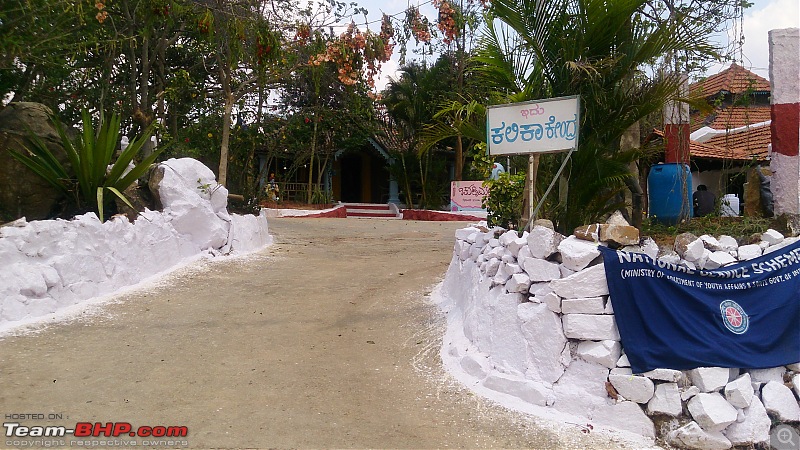
Random pictures in
ADIMA jevakala School


There is a motorable road to reach the village of Shivagange (ADIMA), Biking experience was good, driving on hilly terrains to reach ADIMA.
we went beyond ADIMA to check the hilly route but it ended up in dead-end. Localities said there are few caves as well here but one need
to go with proper guide and safety kits.
Below link I found about the event organized on full moon day.
http://www.thehindu.com/todays-paper...cle6297543.ece
We reached back Bangalore in the evening.
Through out the journey was good,pulling out each others leg,recollecting our past trip stories and excitement bike ride on twisty roads.
Very soon we have planned for a Monsoon drive with rain coats and other required stuffs to drive down to some hill station.

 (8)
Thanks
 (1)
Thanks


 .
.


 .
.