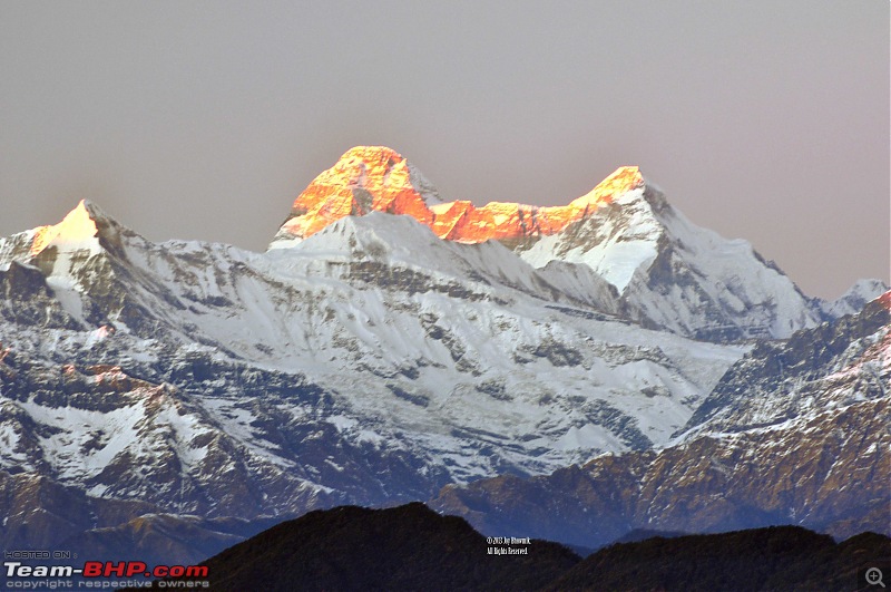
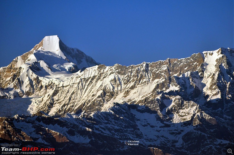
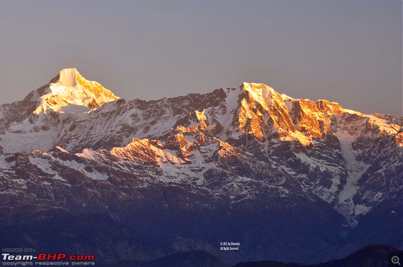
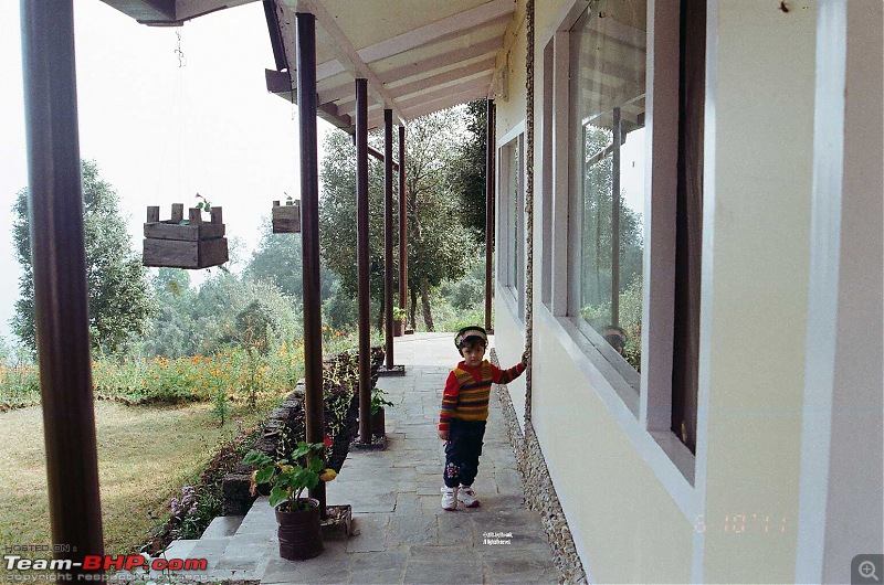
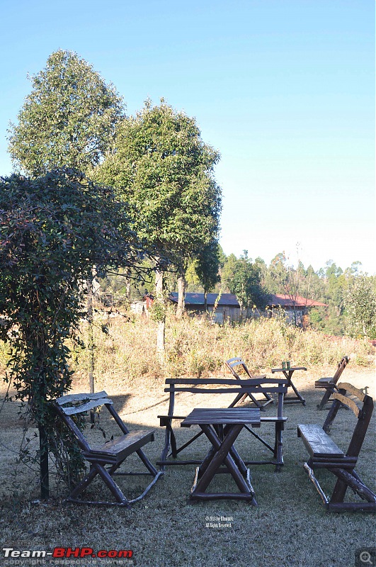
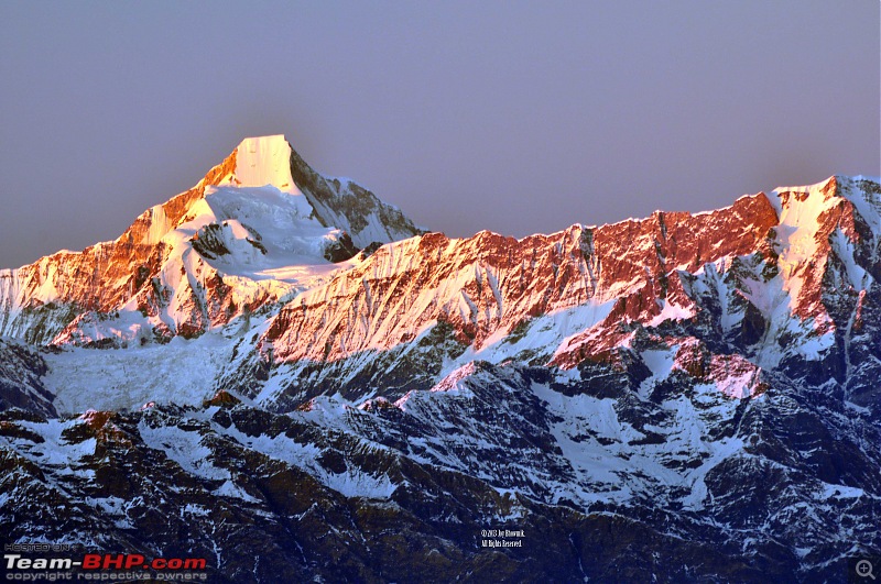
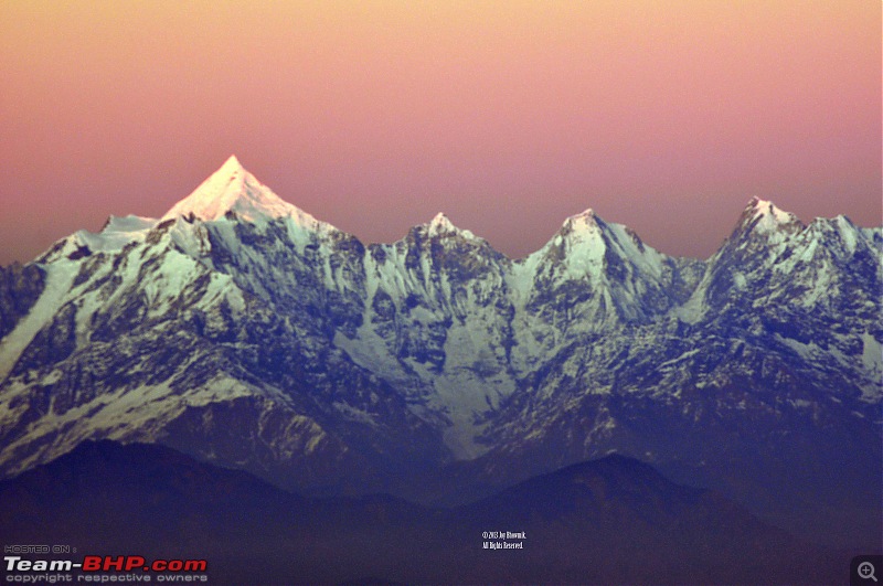
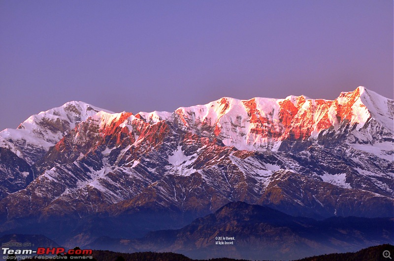
The Misty Mountain retreat at Jhaltola was once part of the estates of the famous "spy-explorer"
Nain Singh Rawat.
What follows is an account of Nain Singh Rawat - drawn from the following sources :
http://legends-of-johar.blogspot.in/ and
http://en.wikipedia.org/wiki/Nain_Singh_Rawat Birth and Early Life
Rai Bahadur Nain Singh Rawat was born to Lata Burha in 1830 in Milam village in the valley of Johar.
After leaving school, Nain Singh helped his father (a trader by profession). He visited different centers in Tibet with his father, learnt the Tibetan language, customs and manners and became familiar with the Tibetan people.
Due to the extreme cold conditions, Milam and other villages of the upper Johar valley are inhabited only for a few months from June to October. During this time the men used to visit Gyanima, Gartok and various other markets in Western Tibet.
Each Indian trader of Johar, had a ‘mitra’ or colleague in Tibet. Initially, the splitting of a stone, each keeping one half, marked their partnership in trade. Henceforth, the Indian trader or his representative would carry the token to sell his goods in Tibet market only to his mitra’s representative who would fit his half of the stone to the Indian’s.
This knowledge of Tibetian language and local customs and protocol came handy in Nain Singh’s work as Spy Explorer.
After an initial exploration of Tibet with the Schalaginweit brothers of Germany, Pundit Nain Singh Rawat joined the Education Department, being appointed as the headmaster of a Government vernacular school in his village at Milam from 1858 to 1863.
The Great Game
In the decades leading up to the 1850s, the British and Russians were engaged in a battle of one upmanship, in the vast desolate plains of Central Asia (including Tibet).
While Russophobia was on the rise with successive generations of East India company men, it was also becoming increasingly difficult to send officers on clandestine missions of map making as the risk factors were too great. If captured it meant certain death for these daredevil men - the Tibetans were an insular society, and did not like any external influences on their land. Secondly, the detection of such missions also meant political embarrassment for the British. Sir John Lawrence, Viceroy of India banned the British from venturing into these lands, his political view being that if they lose their lives, we cannot avenge them and so lose credit. It was Captain Montgomery who proposed to his superiors, a novel method to train the natives in scientific western methods of survey. These natives he had argued were far less likely to be detected than a European, however good the latter’s disguise.
Moreover, even if they were unfortunate enough to be discovered, it would be politically less embarrassing to the authorities, compared to if a British officer was caught red handed making maps in these highly sensitive and dangerous parts. This approach was approved and the foundations were laid for a new era of cartographers, relying on the intelligence brought back by the trained natives.
Training & Methodology
In 1862-63, Education Officer Edmund Smyth was in correspondence with Captain Montgomery to recruit some trustworthy natives as explorers for the Great Trigonometrical Survey. On the recommendation of Edmund Smyth, Nain Singh and Mani Singh Rawat were selected for this expedition at a starting salary of rupees twenty a month. Nain Singh worked in the active service of the Great Trigonometrical Survey from 1863-1875. Nain Singh was given code names "Chief Pundit" or "No. 1" for this clandestine expedition by the survey officials. He not only worked as a surveyor in the GST, but also trained many surveyors and explorers for other expeditions.
Training :
On 12th January 1863, Nain Singh along with his cousin, Mani Singh Rawat were sent to the Great Trigonometrical Survey office at Dehradun, where they underwent training for two years. This included the training on scientific instruments, and some ingenious ways of measurement and recording information, and the art of disguise (espionage). Nain Singh was exceptionally intelligent and determined, and quickly learned the correct use of scientific instruments, like sextant and compass. He could also recognize all major stars and different constellations easily for directions.
Methodology :
A sergeant major drilled them using a pace-stick, to take steps of a fixed length which remained constant even while climbing up, down or walking on plain surface. They were trained to record the distances by an ingenious method using a rosary. This rosary unlike a Hindu or Buddhist one, which has 108 beads, had just 100 beads. At every 100 steps the Pundit would slip one bead, so a complete length of the rosary represented 10000 steps. It was easy to calculate the distance as each step was 31˝ inches and a mile was calculated to be around 2000 steps. To avoid suspicion, these explorers went about their task disguised as monks or traders or whatever suited the particular situation. Many more ingenious methods were devised for this expedition. The notes of measurements were coded in the form of written prayers and these scrolls of paper were hidden in the cylinder of the prayer wheel. The Pundit kept this secret log book up to date. The compass for taking bearing was hidden in the lid of the prayer wheel. Mercury used for setting and artificial horizon, was kept in Cowri shells and for use poured into the begging bowl carried by the Pundit. The thermometer found place in the topmost part of the monk’s stave. There were workshops, where false bottoms were made in the chests to hold a sextant. Pockets were also added to the clothes used during these secret missions.
Thus prepared and trained, the Pundit traveled for months at a stretch collecting intelligence in most difficult conditions, traveling closely with the natives in caravans. What was to follow, were some of the most glorious years in the exploration and mapping of Tibet and all its river systems and indeed some of the most fascinating explorations worth recounting. In 1865-66, Nain Singh traveled 1200 miles from Kathmandu to Lhasa and then to the Mansarovar lake and back to India. On his second expedition in 1867, Nain Singh explored Western Tibet and visited the legendary Thok Jalung gold mines. His last and greatest journey of 1874-75 was from Leh to Tawang (Assam) via Lhasa, which got a great appreciation thorough out Europe.
In the Great Trigonometrical Survey, Nain Singh surveyed 2000 km long trade route from Nepal to Tibet in around 21 months. He was first to determine the exact location and altitude of Lhasa town. Nain Singh measured 31 latitudes and 33 altitudes of different places during this survey. He travelled the length of 800 Km of Tsang Po river in Tibet, and was the first person to find that the Tsang Po and Brahmaputra rivers are one. He successfully completed his expeditions in the disguise of a Lama as the entry of foreigners in Tibet was forbidden.
Retirement and Death :
Nain Singh’s last journey has taken its toll on his health, also impairing his vision. He continued for a few years to train other Indians in the art of surveying and spying, and did a highly commendable job of it too.
Nain Singh Rawat died of a heart attack in 1895.
Legacy :
Nain Singh Rawat explored most of the unknown territories of the Central Asia and Tibet beyond the Great Himalayas. His collected scientific information about the geography of these regions provided a major contribution in the mapping of the Central Asia.
For his extraordinary achievements and contributions, Nain Singh was honoured with many awards by the Royal Geographical Society, the Paris Geographical Society, and other European institutions. The survey journeys of Nain Singh got place in many books, magazines, and research papers of different languages around the globe.
Colonel Yule, addressing the Royal Geographic Society at the time of its presentation of the Society's Gold Medal to Nain Singh, said, "It is not a topographical automaton, or merely one of a great multitude of native employees with an average qualification. His observations have added a larger amount of important knowledge to the map of Asia than those of any other living man!"
Awards and Recognition- In 1868, Nain Singh was presented with an inscribed gold chronometer/watch by the Royal Geographic Society (RGS), London.
- In 1876, Nain Singh’s achievements were announced in the “Geographical Magzine”.
- In 1877, Nain Singh was awarded with the “Victoria / Patron’s Gold Medal” by the Royal Geographic Society (RGS), London.
- In 1877, Nain Singh was presented with an inscribed gold chronometer/watch by the Society of Geographers of Paris.
- In 1877, the British government awarded him with the title of “Companion of the Indian Empire” (C.I.E.)!
- In 1877, the British government honoured him with a grant of a village in Rohilkhand (Bareilly) as Jagir, and 1000 rupees in revenue.
- On 27th June 2004, an Indian postage stamp featuring Nain Singh was issued commemorating his role in the Great Trigonometrical Survey by the Indian government, after about 139 years since his achievement!
It felt great to have lived a bit of history when at the resort- and even better sharing this lost story with all my friends on Team-BHP!

 (9)
Thanks

 (1)
Thanks

 (1)
Thanks
 (4)
Thanks
 (5)
Thanks
 (2)
Thanks
 (2)
Thanks
 (3)
Thanks
 (1)
Thanks

 (1)
Thanks


