Ombattu Gudda
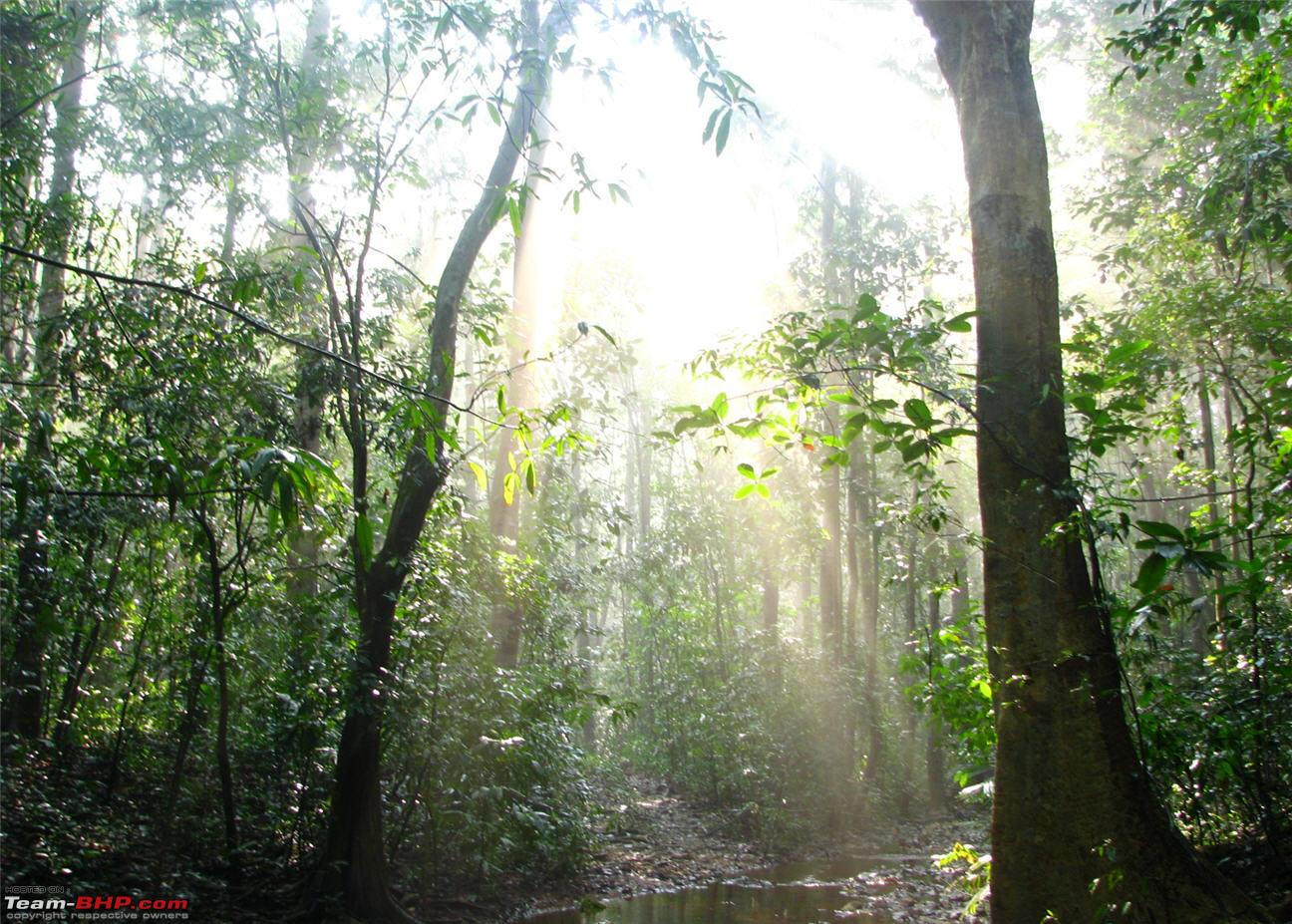
Ombattu Gudda is a hill range in the Shiradi ghats. This lies at the border of Hassan and Chikmagalur districts. The name Ombattu Gudda literally means Nine Hills. Ombattu means nine and Gudda means hill in Kannada language. As few of you might know, this is one of the toughest, dangerous, challenging, mysterious etc etc etc treks in the Western Ghats. Im really not going overboard with the superlatives as this place really deserves all the accolades. At 971 meters above sea level, this is not even the tallest peak in the region, but it is one of the toughest ones to reach. There have been lots of cases where trekkers have been lost for days trying to reach Ombattu gudda. We would be traversing the terrain of three districts (Dakshina Kannada, Hassan and Chikmagalur) during the course of our trek.
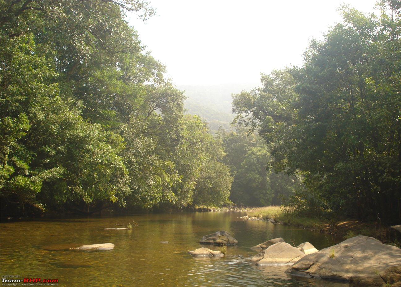
In the monsoon, the place is totally inaccessible as we have to cross plenty of streams/rivers on the way. It is impossible to do so in the monsoons. Ombattu Gudda is located in the Kabbinale Reserve Forest and it is accessible from a village called Hosakere in Mudigere Taluk of Chikmagalur Dist. and from Gundya in the Shiradi ghats. Usually, trekkers start from Gundya, camp the first night just before the peak and reach the peak on the 2nd day. From the peak, they follow a jeep track till the village of Hosakere and catch a bus from there to Mudigere. We followed the same trend.
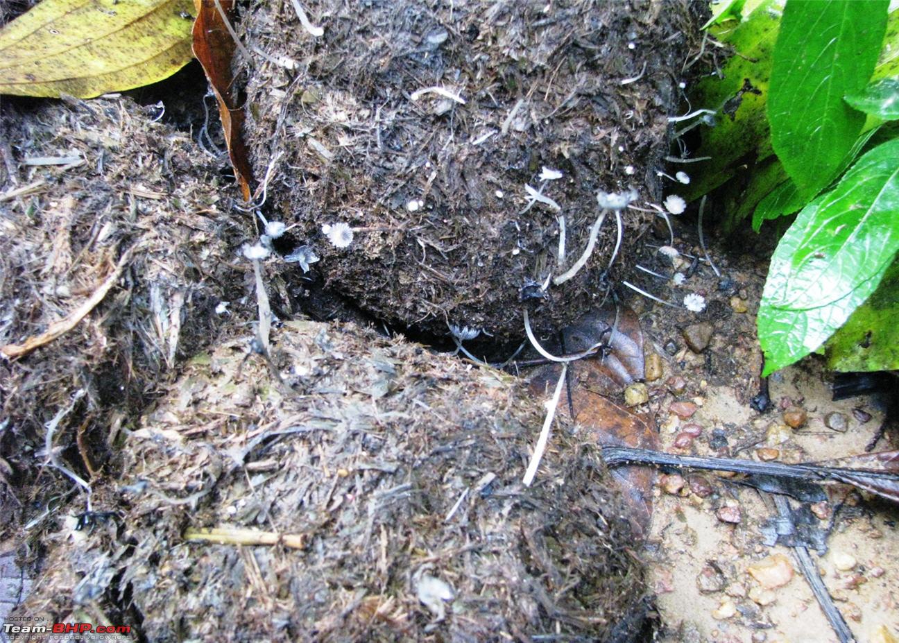
Warning: Thanks to innumerable blogs on this place, it has become a very well known trekking trail. But what many people dont know is that the trek is a treacherous one and one has to venture into the forests only if you have sufficient fitness levels. A map and compass is a must, a GPS is an added bonus. It is very difficult to make your way through the jungle without knowing the direction you want to go in. Also, this forest is teeming with elephants (you will find lot of evidence on the way) and you will have to watch out for that. There are no guides available here and you will be trekking on your own. So, it always recommended going in groups.
Planning
All initial planning was done quite early, so as not to disturb Jeevesha in his engagement preparations. Tickets were booked to Dharmasthala as we were supposed to get down at Gundya checkpost. Sleeping bags were picked up, Dushyant borrowed a tent from his cousin, food items were purchased and finally on Friday, December 17, 2010 our backpacks were packed and we were all set to go. OG was just a bus ride away. I had got a brand new GPS (Garmin eTrex Vista H) and was very eager to try it out on a trek for the first time. I did take help from other BHPians to purchase my GPS. Thanks a lot for all those who advised me.
http://www.team-bhp.com/forum/gadget...ml#post2111984
We did not book the return tickets from Mudigere as we were not sure whether we would be returning the same day

given that lot of people have not managed to scale the peak at the first attempt. Since this was our first time here, we were not very confident on reaching the peak. The whole trek was approx 25 kms spread over 2 days and we had to start as early as possible to avoid trekking under the hot sun.
About a week before the trek, we heard news that it was raining quite heavily in the area. We were a bit apprehensive upon hearing this news, but then the rains subsided and it did not rain there the whole week, or so we thought. The day we left Bangalore, it had rained quite heavily in the night.
We also had to purchase the map no 48 P/9/NW from Survey of India. Earlier, these maps were priced at Rs 27, but now SoI has raised prices and they are priced Rs.70. Hmmm that is a steep hike
 The Trek
.
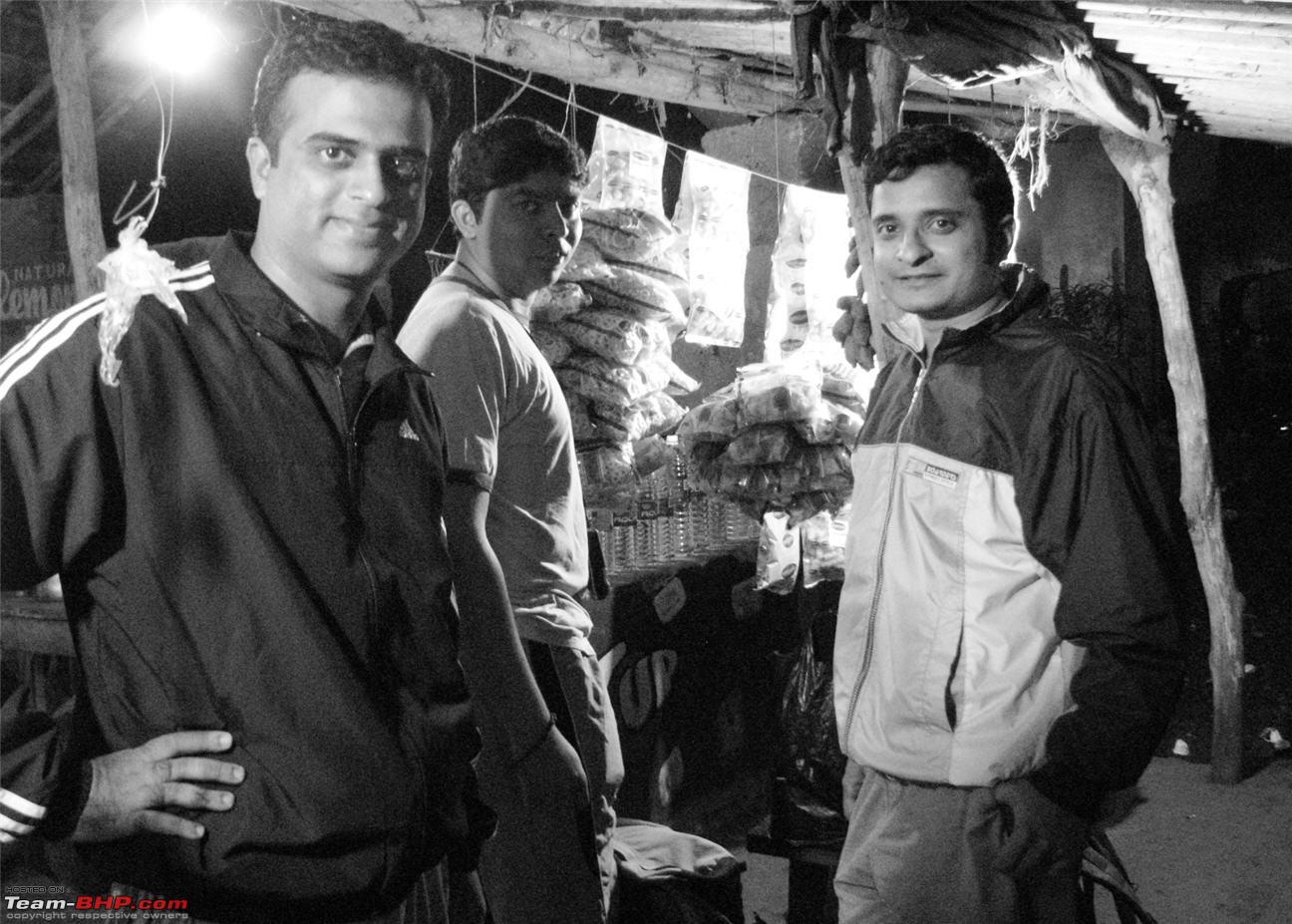
IIRC, we reached Gundya at around 5 am in the morning. We had some tea in the tea shop there and enquired about the rain situation. The tea shop guy said that it had rained heavily during the night.
Having tea in Gundya

Please ignore the person on the right and concentrate on the board. This was at Gundya

The board reads
Shiradi-Shishila Reserve Forest, Area: 9557 Hectares. Now that is a huge area.
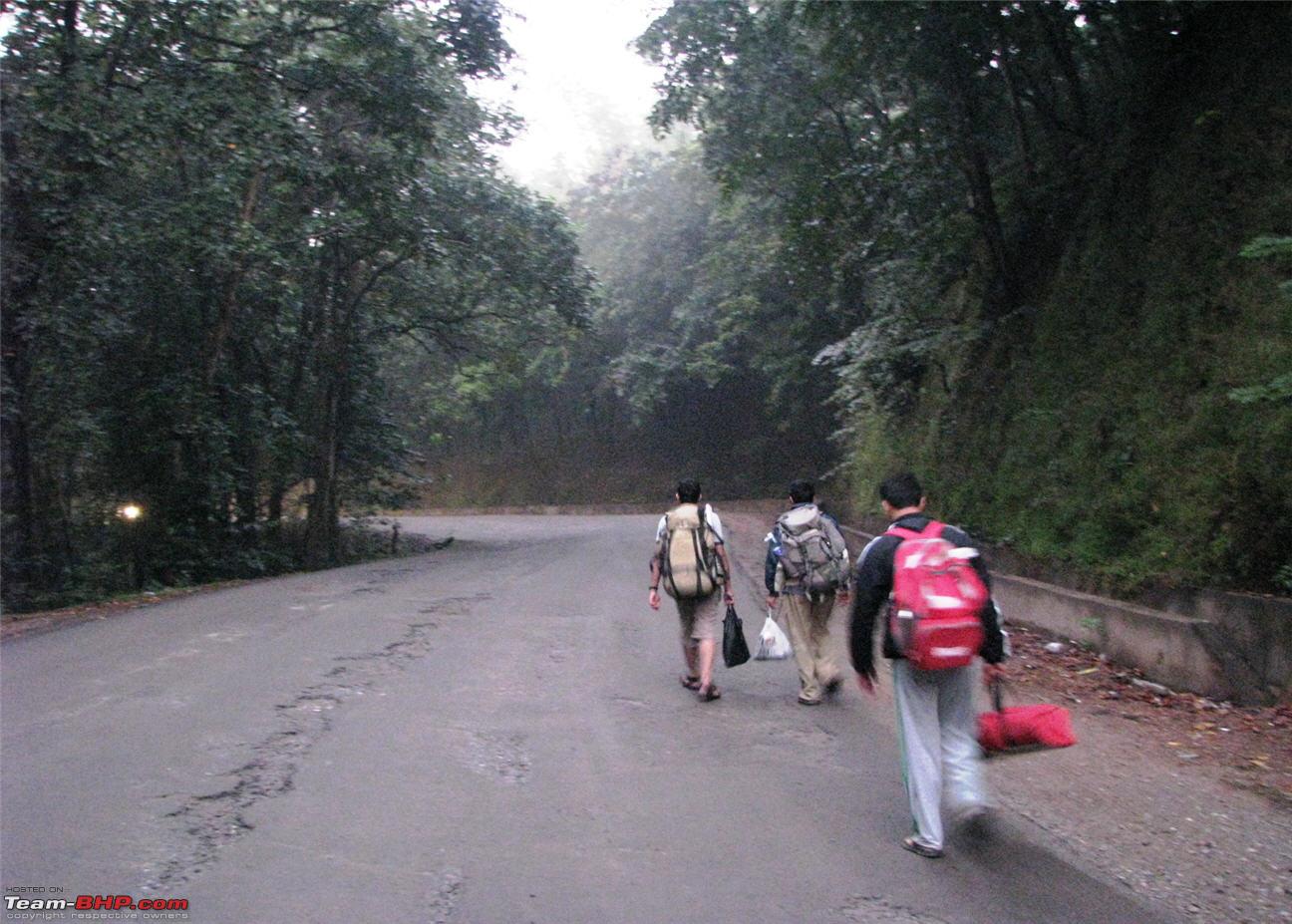
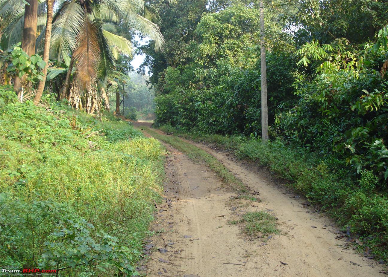
We moved on towards Addahole Bridge, a km away from Gundya towards Mangalore. Addahole bridge is where we leave the highway and enter the trail. It was daylight by the time we reached the bridge and so we decided to take a break at a small hotel and have breakfast while we could get ready for the trek.
Walking towards Addahole Bridge from Gundya

The hotel where we had breakfast

Most important of all, we had to keep the anti-leech solution ready as the previous nights rains would have woken up the leeches. Since I have a turbulent history with leeches, I did not want to take a chance.
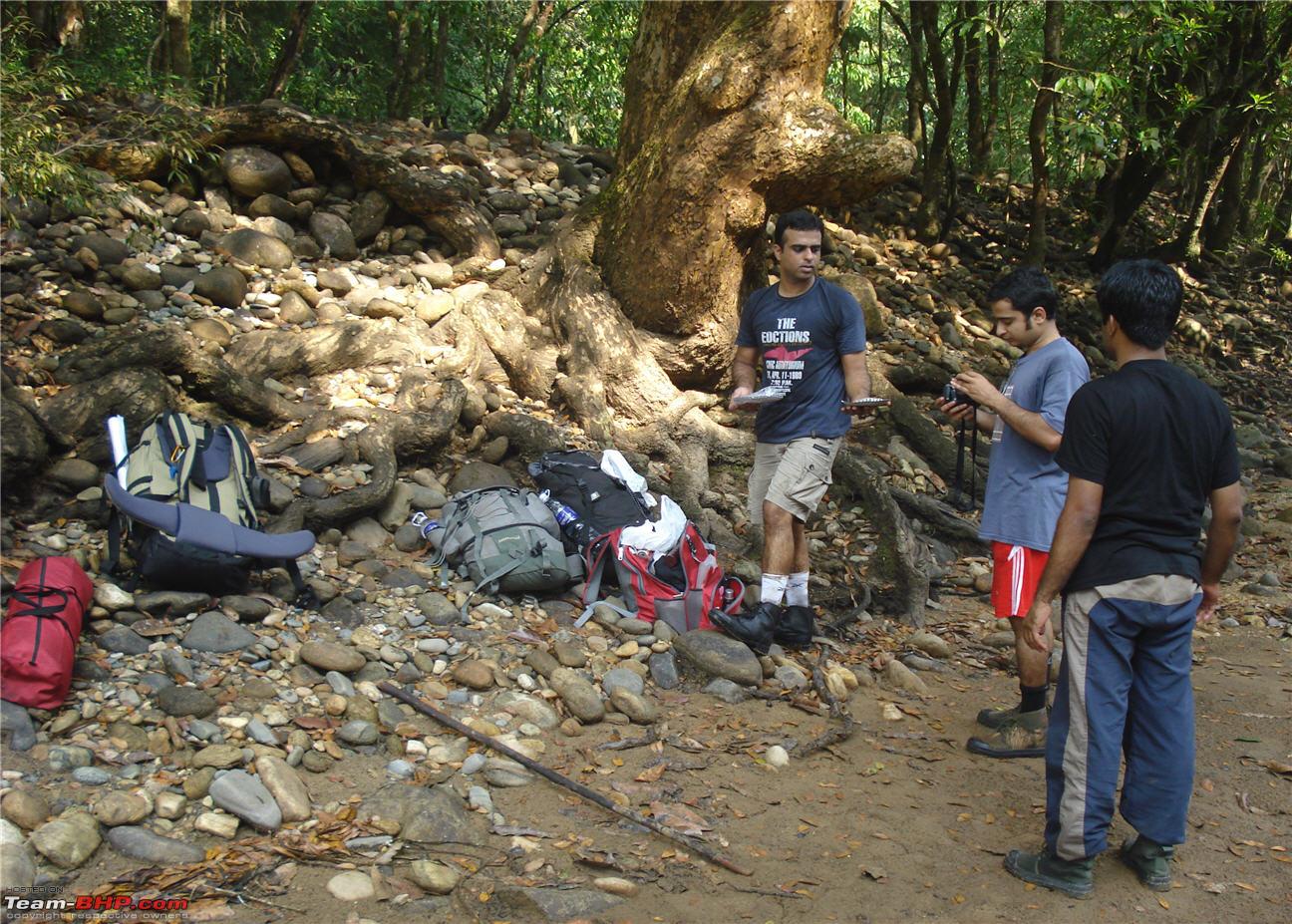
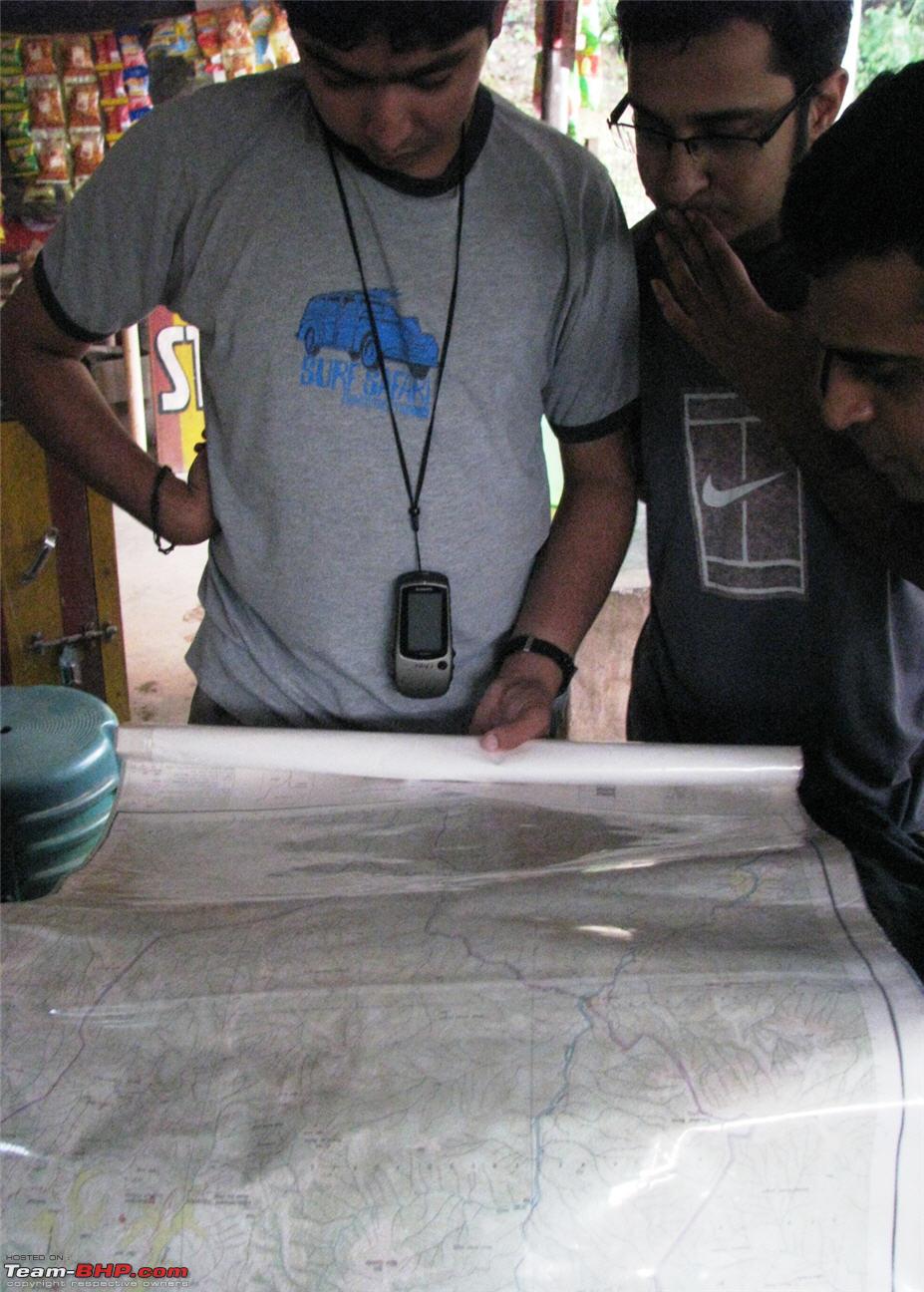
We had a small bread-omlette breakfast at the hotel and started plotting our trekking. Initially, we had to calibrate the GPS to the map (really no idea how it works though).
Trying to figure out how to calibrate the map and GPS

Then came the messy stuff, the anti-leech solution. To prepare the solution, take out 10g of dry snuff powder and put it on your left hand or any cup or plate etc. You can add more if you need more. Remove the bottle of oil from your bag. You can use any kind of oil for this as this does not affect the consistency of the solution in anyway. You only have to be worried about the smell based on the different oils you use. But we suggest coconut oil as the smell will be pleasant. Now pour 10-15 ml onto the dry snuff powder and stir it vigorously with a spatula. By now you should be experiencing the aroma of the solution. The solution need not be heated over a flame or cooled in a fridge. Normal room temperature should be enough for it retain the consistency. Now the anti-leech solution is ready for use.
Ok, I think I have watched too many cookery shows. Just mix the snuff powder and oil and smear the paste all over your legs. That will repel leeches, end of story.
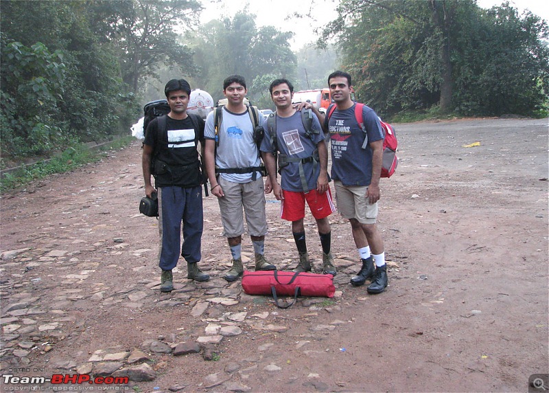
Then all set, we took a customary group photo and set off on the trek. OG, here we come!!!!

From Left to Right : Vivek, Yours Truly, Jeevesha, Dushyant


 2nd August 2011, 15:52

 (2)
Thanks
(2)
Thanks
 Jeevesha was getting engaged on Dec 16 and we were going to trek to OG on 18th. Talk about crazy!!! Btw, OG is short for Ombattu Gudda. Before I start of the travelogue, I should really thank the (would-be) spouses of these 2 guys. Only because of their permissions, could their (would-be) spouses come on the trek. So, A and S, if you are reading this, thanks a ton!!!!
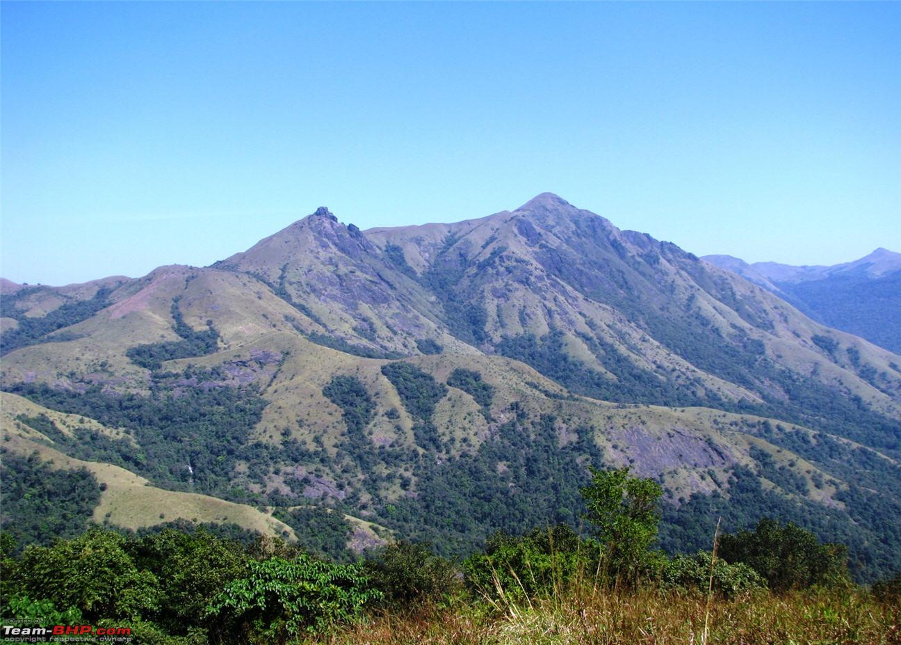


 .
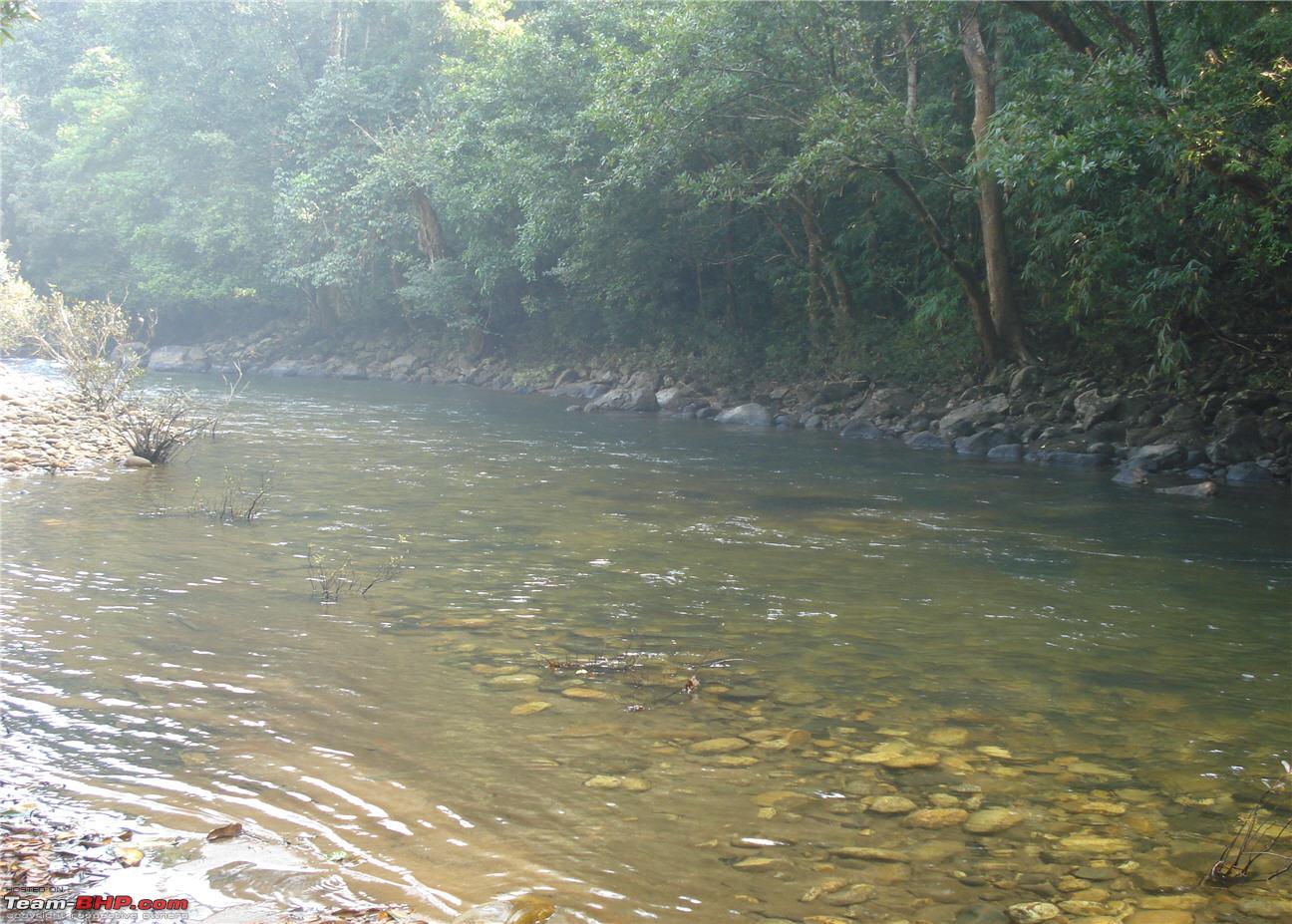
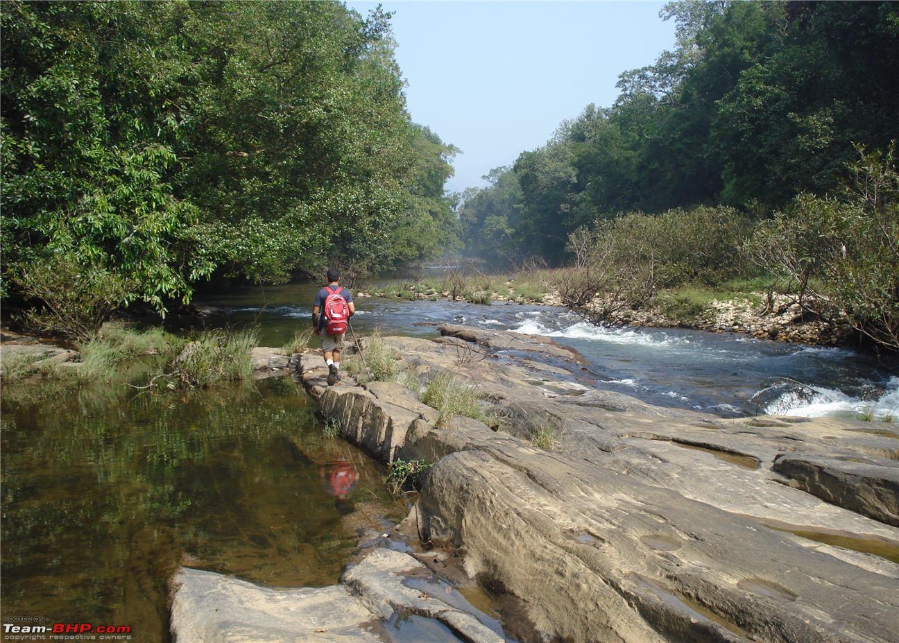
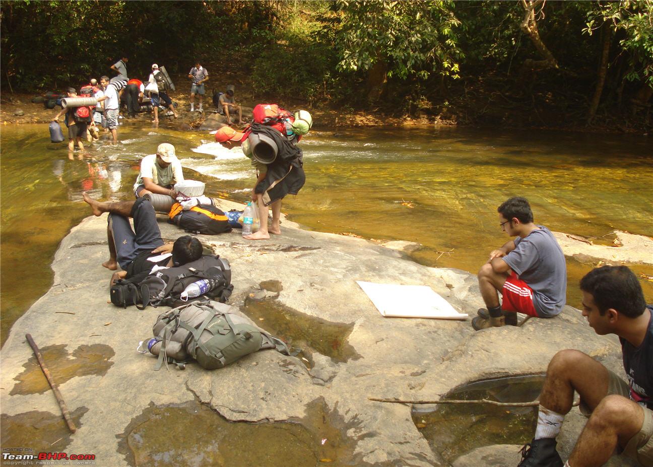
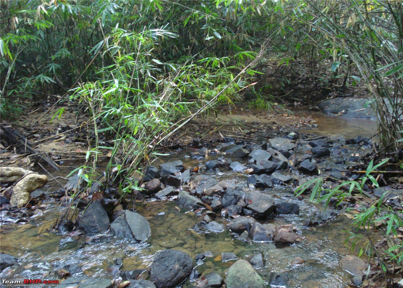
. That is some success, I should say. But, that success was about to be shortlived. We had to cross a very big stream with upto knee high water. This meant that the anti-leech solution would be washed off when we waded in the water. With no other choice, we removed our shoes (we didnt want to get them wet) and crossed the stream. The stream was flowing pretty fast and had a good current although the water was only knee high.